Geo Map - Asia - Japan
Maps of Asia - Japan
Japan is an island and a sovereign nation and so a country in East Asia located in the Pacific Ocean. The exact location of this island: it lies off the eastern coast of the Asian mainland and it stretches from Taiwan on its southwest to the Sea of Okhotsk on the north. There is also the East China Sea on the south-west from Japan.
Japan is an archipelago, which consists of 6852 islands. The largest islands of them are Kyushu, Shikoku, Honshu and Hokkaido. The mentioned islands make up about 97% of total Japan's land area.
The country of Japan is divided into 47 prefectures, which form the first level of administrative division of Japan as well as its jurisdiction. There are 43 prefectures, one so called “circuit”, another “metropolis” and two urban prefectures, which are Osaka and Kyoto. One of the prefectures, which is Hokkaido, is the northernmost prefecture and another one - Okinawa - the southernmost one.
The population of Japan extends 127 million people, that is why Japan is the world’s eleventh largest country in the world. In October 2010 there was a peak of its population of 128057352 inhabitants, but already in October 2015 its population was 127094745 so Japan took the world's tenth place in the list of most populous countries in the world. The population of Mexico was slightly less than Japan's one in 2015, but the current statistics do not indicate much difference in population numbers and Japan's population size can be attributed to high growth rates experienced during the late 19th and early 20th centuries. Although since 2010 Japan has experienced net population loss for a reason of falling the birth rates and almost no immigration, even though this country has one of the highest life expectancies in the world. Japan's population density was 336 people per square kilometre making Japanese people making up to 98,5% of Japan's total population. There are approximately 9,1 million people live in Tokyo which is the capital of Japan. Nowadays its population enjoys the highest life expectancy and the third lowest infant mortality rate in the world.
Japan got into a long so-called “Sakoku” which is commonly translated as "period of national isolation", being the isolationist foreign policy when the relations and the trade between Japan and other countries were severely limited. At that time nearly all foreigners were barred from entering Japan and the common Japanese people were kept from leaving the country, which happened in the early 17th century, but ended already in 1853 when the United States of America fleet Japan to open to the West. After 2 decades of internal conflict and insurrection, the Imperial Court managed to regain its political power in 1868 through the help of several clans and so the Empire of Japan was established by that time. In the end of 19th and beginning of the 20th centuries, victories in the Wars (the Russo-Japanese war, the First Sino-Japanese World and the World War I) allowed Japan to expand its empire during a period of increasing “militarism”, which refers to the ideology dominated both the political and the social life of the nation, when to the strength of a nation is equal to the strength of the military.
Japan is a member of the OECD, the G7, the G8, the G20, the UN and it is considered as a great power, which means it is a sovereign state that can be defined as having the ability and expertise to render its influence on a global scale. Great powers characteristically possess economic, diplomatic and military strength, which considers the great powers' opinions before taking actions of their own. This country benefits from a highly skilled workforce and it is among the most highly educated countries in the world. There is one of the highest percentages of its citizens holding a tertiary education degree in Japan, that is why it is a very popular destination for people to come and study.
There are in total 6852 islands extending along the Pacific coast of East Asia in Japan, as it was already mentioned before. This country, including all of the islands under its control, lies between latitudes 24° and 46°N; and longitudes 122° and 146°E. The main islands from north to south are Honshu, Hokkaido, Kyushu and Shikoku and Okinawa, being a part of Ryukyu Islands, is a chain to the south of Kyushu. All together they are often known as the “Japanese archipelago”. About 73% of Japan is covered with forests, mountains and unsuitable for having industrial, residential or agricultural business on. That is why the habitable zones, mainly located in coastal areas, have extremely high population densities.
There are 108 active volcanoes in Japan. During the 20th century several new volcanoes emerged, including Myojin-sho off the Bayonnaise Rocks in the Pacific and Showa-shinzan on Hokkaido. Destructive earthquakes often result in tsunami. They occur several times each century in and all over Japan. In 1923 the earthquake in Tokyo killed over 140000 people and more recent major earthquakes were in 1995 (Great Hanshin earthquake) and in 2011 (Tohoku). There was another a 9.0-magnitude earthquake, which hit Japan on March 11 in 2011, triggering a large tsunami. Japan is substantially prone to earthquakes as well as tsunami and volcanoes due to its location along the Pacific Ring of Fire and it has the 15th highest natural disaster risk as measured in the 2013 World Risk Index.
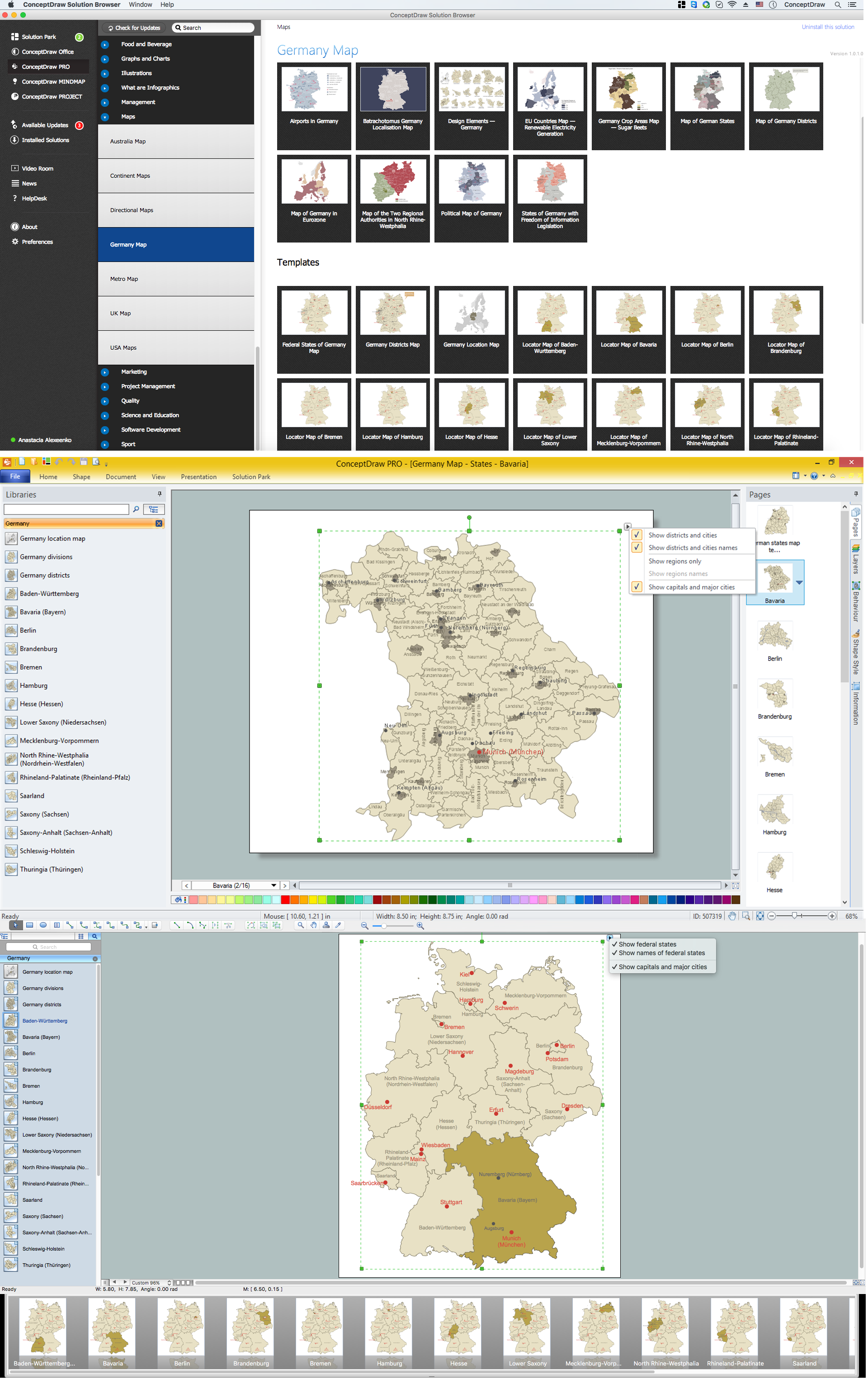
Nowadays the nation of Japan is currently undergoing administrative reorganization by merging many of the cities, as well as towns and villages with each other as this process will lead to reducing the number of sub-prefecture administrative regions and it is expected to cut administrative costs. Making a map of Japan can be a simple thing as long as you have ConceptDraw DIAGRAM software which can be used especially for the purpose of making such drawings. Having ConceptDraw STORE as well as ConceptDraw DIAGRAM can simplify the process of drawing even more making it possible to create any needed map, diagram, chart, flowchart or scheme only within a couple of minutes using the necessary tools which can be found in this application in the solutions. The “Continent Maps” solution from “Maps” area of ConceptDraw Solution Park on this site can help you make the needed drawings and with the aid of the vector stencils library “Japan”, which is a part of this solution and which contains the contours of Japan, can be used for drawing the map of Japan and its regions while working in ConceptDraw DIAGRAM diagramming and vector drawing software.
The vector stencils library Japan contains contours for ConceptDraw DIAGRAM diagramming and vector drawing software. This library is contained in the Continent Maps solution from Maps area of ConceptDraw Solution Park.

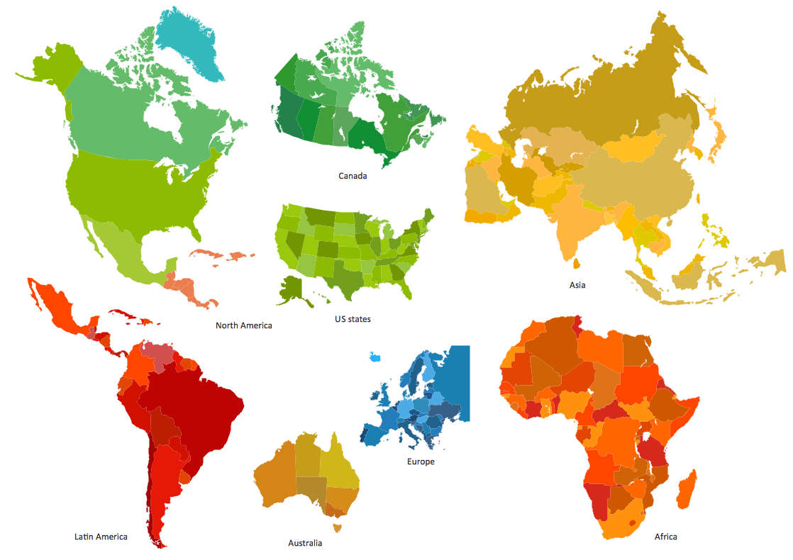
Pic. 1. Continent Maps Solution
Use the Japan library to draw thematic maps, geospatial infographics and vector illustrations for your business documents, presentations and websites.
Geo Map - Asia - Japan
Japan has a population of over 126.9 million and an area 377,944 km2(145,925 sq mi).

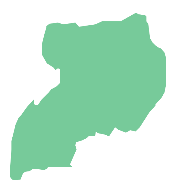
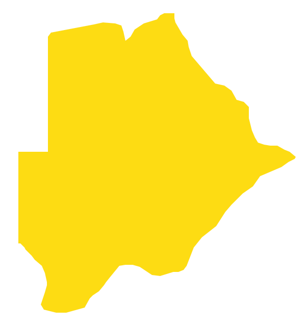
Pic. 2. Japan
Geo Map - Asia - Japan Contour
Capital - Tokyo

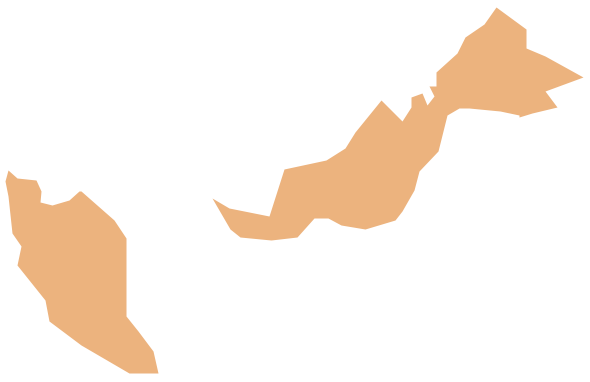
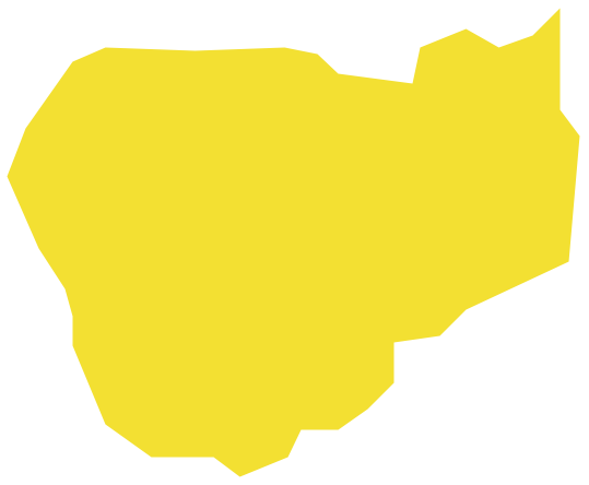
Pic. 3. Japan Contour
Geo Map - Asia
Asia contains 48 countries(UN members) and 6 other states.
Area 44,579,000 km2 (17,212,000 sq mi). Population 4,164,252,000.

Pic. 4. Asia Map
Geo Map - Asia Contour
A contour map is a map illustrated with contour lines.

Pic. 5. Asia Contour
Geo Map - contours of Asia countries
Use the map contours library "Asia" to design thematic maps using the ConceptDraw DIAGRAM diagramming and vector drawing software.
The vector stencils library "Asia" contains 57 map contours: Asia political map, map contours of countries.

Pic. 6. Contours of Asia countries
All ConceptDraw DIAGRAM documents are vector graphic files and are available for reviewing, modifying, and converting to a variety of formats: image, HTML, PDF file, MS PowerPoint Presentation, Adobe Flash, MS Visio (.VDX, .VSDX).
See also Geo Maps of Asia Countries :
- Afghanistan
- Armenia
- Azerbaijan
- Bahrain
- Bangladesh
- Bhutan
- Brunei
- Cambodia
- China
- Cyprus
- Georgia
- India
- Indonesia
- Iran
- Iraq
- Israel
- Japan
- Jordan
- Kazakhstan
- Kuwait
- Kyrgyzstan
- Laos
- Lebanon
- Malaysia
- Mongolia
- Myanmar
- Nepal
- North Korea
- Oman
- Pakistan
- Papua New Guinea
- Philippines
- Qatar
- Saudi Arabia
- Singapore
- South Korea
- Sri Lanka
- Syria
- Tajikistan
- Thailand
- Turkey
- Turkmenistan
- United Arab Emirates
- Uzbekistan
- Vietnam
- Yemen