Geo Map - Asia - Bahrain
Maps of Asia - Kingdom of Bahrain
"Bahrain, officially the Kingdom of Bahrain is a small island country situated near the western shores of the Persian Gulf. It is an archipelago with Bahrain Island the largest land mass at 55 km (34 mi) long by 18 km (11 mi) wide. Saudi Arabia lies to the west and is connected to Bahrain by the King Fahd Causeway while Iran lies 200 km (124 mi) to the north across the Persian Gulf. The peninsula of Qatar is to the southeast across the Gulf of Bahrain. The planned Qatar Bahrain Causeway will link Bahrain and Qatar and become the world's longest marine causeway. The population in 2010 stood at 1,234,571, including 666,172 non-nationals."
The vector stencils library Bahrain contains contours for ConceptDraw DIAGRAM diagramming and vector drawing software. This library is contained in the Continent Maps solution from Maps area of ConceptDraw Solution Park.
Use the Bahrain library to draw thematic maps, geospatial infographics and vector illustrations for your business documents, presentations and websites.
Geo Map - Asia - Kingdom of Bahrain

Geo Map - Asia - Bahrain Contour

Geo Map - Asia

Geo Map - Asia Contour

Geo Map - contours of Asia countries

See also Geo Maps of Asia Countries :
- Afghanistan
- Armenia
- Azerbaijan
- Bahrain
- Bangladesh
- Bhutan
- Brunei
- Cambodia
- China
- Cyprus
- Georgia
- India
- Indonesia
- Iran
- Iraq
- Israel
- Japan
- Jordan
- Kazakhstan
- Kuwait
- Kyrgyzstan
- Laos
- Lebanon
- Malaysia
- Mongolia
- Myanmar
- Nepal
- North Korea
- Oman
- Pakistan
- Papua New Guinea
- Philippines
- Qatar
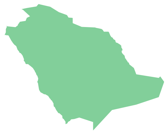
- Saudi Arabia
- Singapore
- South Korea
- Sri Lanka
- Syria
- Tajikistan
- Thailand
- Turkey
- Turkmenistan
- United Arab Emirates
- Uzbekistan
- Vietnam
- Yemen