Made with
ConceptDraw
DIAGRAM 18

Geo Map - Asia - North Korea

Maps of Asia - Democratic People's Republic of Korea

"North Korea, officially the Democratic People's Republic of Korea, is a country in East Asia, in the northern part of the Korean Peninsula. The capital and largest city is Pyongyang. North Korea shares a land border with China to the north and north-west, along the Amnok (Yalu) and Tumen rivers. A small section of the Tumen River also forms North Korea's short border with Russia to the northeast. The Korean Demilitarized Zone marks the boundary between North Korea and South Korea. The legitimacy of this border is not accepted by either side, as both states claim to be the legitimate government of the entire peninsula." [North Korea. Wikipedia]

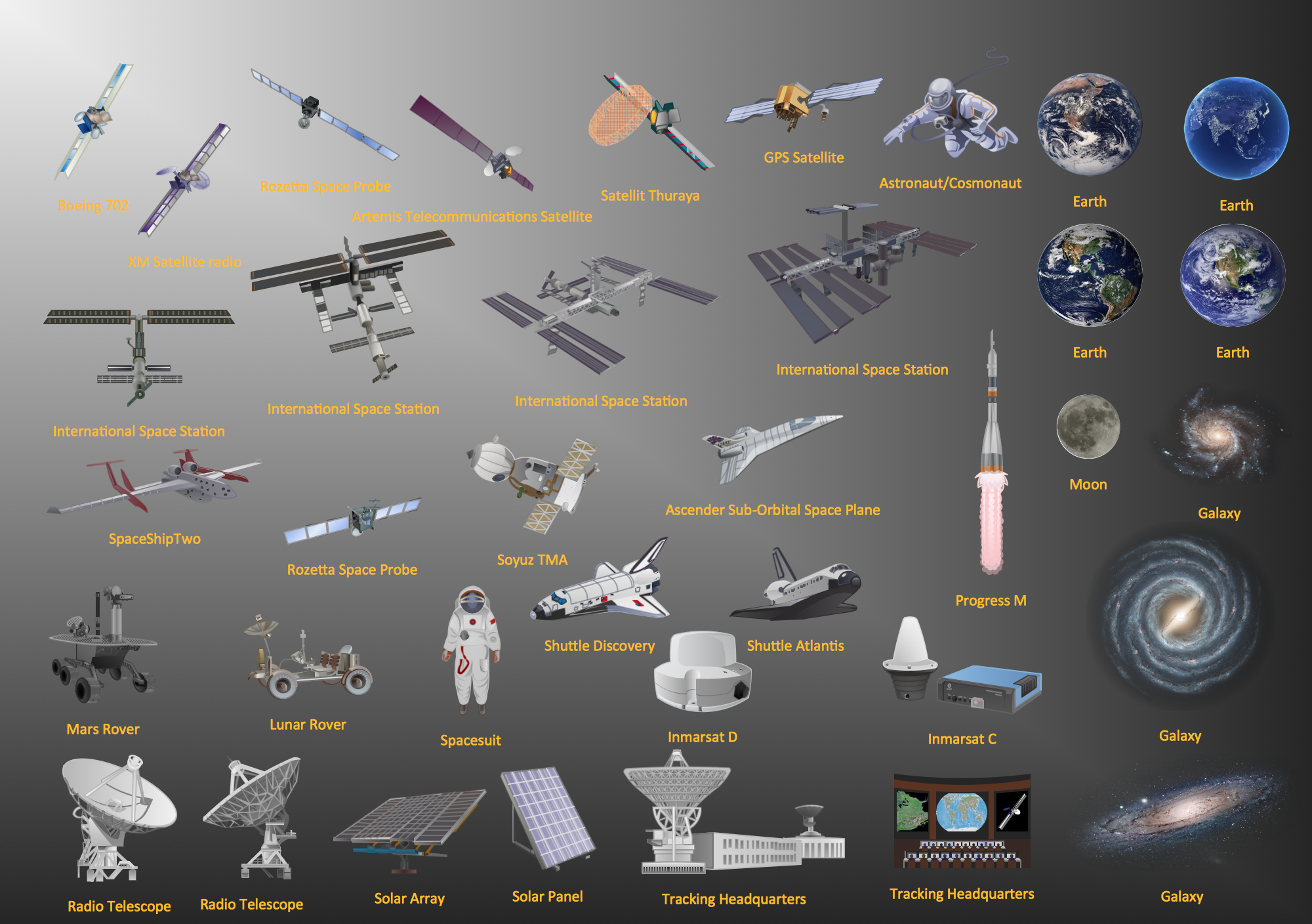
The vector stencils library North Korea contains contours for ConceptDraw DIAGRAM diagramming and vector drawing software. This library is contained in the Continent Maps solution from Maps area of ConceptDraw Solution Park.

Geo Map Solution

Pic. 1. Continent Maps Solution

Use the North Korea library to draw thematic maps, geospatial infographics and vector illustrations for your business documents, presentations and websites.

Geo Map - Asia - Democratic People's Republic of Korea

North Korea has a population of over 24.8 million and an area 120,540 km2(46,528 sq mi).

Geo Map - Asia - North Korea *

Pic. 2. North Korea


Geo Map - Asia - North Korea Contour

Capital - Pyongyang

Geo Map - Asia - North Korea Contour

Pic. 3. North Korea Contour


Geo Map - Asia

Asia contains 48 countries(UN members) and 6 other states.
Area 44,579,000 km2 (17,212,000 sq mi). Population 4,164,252,000.

Geo Map - Asia

Pic. 4. Asia Map


Geo Map - Asia Contour

A contour map is a map illustrated with contour lines.

Geo Map - Asia Contour

Pic. 5. Asia Contour


Geo Map - contours of Asia countries

Use the map contours library "Asia" to design thematic maps using the ConceptDraw DIAGRAM diagramming and vector drawing software.

The vector stencils library "Asia" contains 57 map contours: Asia political map, map contours of countries.

Geo Map - contours of Asia countries

Pic. 6. Contours of Asia countries


All ConceptDraw DIAGRAM documents are vector graphic files and are available for reviewing, modifying, and converting to a variety of formats: image, HTML, PDF file, MS PowerPoint Presentation, Adobe Flash, MS Visio (.VDX, .VSDX).


See also Geo Maps of Asia Countries :


TEN RELATED HOW TO's:
Tennessee is a U.S. state located in the Southeastern United States. The vector stencils library Tennesse contains contours for ConceptDraw DIAGRAM diagramming and vector drawing software. This library is contained in the Continent Maps solution from Maps area of ConceptDraw Solution Park.Geo Map - USA - Tennesse
Picture: Geo Map — USA — Tennesse
Related Solution:
The Philippines, officially known as the Republic of the Philippines, is a sovereign island country in Southeast Asia situated in the western Pacific Ocean. Use the Continent Maps solution and Philippines library to draw thematic maps, geospatial infographics and vector illustrations. This solution to help visualize the business and thematic information connected with geographic areas, locations or customs; for your business documents, presentations and websites.Geo Map - Asia - Philippines *
Picture: Geo Map - Asia - Philippines
Related Solution:
Malaysia is a federal constitutional monarchy in Southeast Asia. The vector stencils library Malaysia contains contours for ConceptDraw DIAGRAM diagramming and vector drawing software. This library is contained in the Continent Maps solution from Maps area of ConceptDraw Solution Park.Geo Map - Asia - Malaysia *
Picture: Geo Map - Asia - Malaysia
Related Solution:
Any factory needs a clear scheme of all the equipment used in the manufacture processes. So, if you want to place all your machines and equipment on one diagram, you need a good diagramming tool for that. For instance, you can find all the design elements you might need, such as lathes, milling machines or saws on ConceptDraw DIAGRAM Solution Park in Plant Layout Plans solution in appropriate libraries. This drawing represents the Machines and Equipment library delivered by ConceptDraw Plant Layout Plans solution. This vector library is supplied along with other libraries related to industrial architecture planning and interior design. Just planning the proper facilities in a proper right place, allows to manufacture a product in the most effective and economic way. Objects containing in these libraries will be helpful for architects and engineers dealing with industrial buildings design. They are intended to use for designing layouts of plants, warehouses, manufacturing workshop etc.Machines and Equipment — Design Elements
Picture: Interior Design. Machines and Equipment — Design Elements
Related Solution:
Japan is an island nation in East Asia. Located in the Pacific Ocean, it lies to the east of the Sea of Japan, China, North Korea, South Korea and Russia, stretching from the Sea of Okhotsk in the north to the East China Sea and Taiwan in the south. The vector stencils library Japan contains contours for ConceptDraw DIAGRAM diagramming and vector drawing software. This library is contained in the Continent Maps solution from Maps area of ConceptDraw Solution Park.Geo Map - Asia - Japan *
Picture: Geo Map - Asia - Japan
Related Solution:
Afghanistan, officially the Islamic Republic of Afghanistan, is a landlocked sovereign state forming part of Central Asia, South Asia, and to some extent Western Asia. The vector stencils library Afghanistan contains contours for ConceptDraw DIAGRAM diagramming and vector drawing software. This library is contained in the Continent Maps solution from Maps area of ConceptDraw Solution Park.Geo Map - Asia - Afghanistan *
Picture: Geo Map - Asia - Afghanistan
Related Solution:
UK Map →
The United Kingdom of Great Britain and Northern Ireland, commonly known as the United Kingdom (UK), is a sovereign state in Europe which consists of four countries: England, Scotland, Wales, and Northern Ireland. UK is surrounded by the waters of Atlantic ocean, the North Sea, the English Channel, and the Irish Sea and includes large number of big and small islands. ConceptDraw DIAGRAM diagramming and vector drawing software offers the unique Map of UK Solution from the Maps Area of ConceptDraw Solution Park that is indispensable for easy drawing professional looking map of UK, UK counties map, UK map with cities, map of Scotland, map of England, map of Wales, Northern Ireland map.UK Map *
Picture: UK Map
Related Solution:
Madagascar, officially the Republic of Madagascar, is an island country in the Indian Ocean, off the coast of Southeast Africa. The vector stencils library Madagascar contains contours for ConceptDraw DIAGRAM diagramming and vector drawing software. This library is contained in the Continent Maps solution from Maps area of ConceptDraw Solution Park.Geo Map - Africa - Madagascar *
Picture: Geo Map - Africa - Madagascar
Related Solution:
Paraguay, officially the Republic of Paraguay, is a landlocked country in South America, bordered by Argentina to the south and southwest, Brazil to the east and northeast, and Bolivia to the northwest. The vector stencils library Paraguay contains contours for ConceptDraw DIAGRAM diagramming and vector drawing software. This library is contained in the Continent Maps solution from Maps area of ConceptDraw Solution Park.Geo Map - South America - Paraguay *
Picture: Geo Map - South America - Paraguay
Related Solution:
Iran, also known as Persia, officially the Islamic Republic of Iran since 1980, is a country in Western Asia. The vector stencils library Iran contains contours for ConceptDraw DIAGRAM diagramming and vector drawing software. This library is contained in the Continent Maps solution from Maps area of ConceptDraw Solution Park.Geo Map - Asia - Iran *
Picture: Geo Map - Asia - Iran
Related Solution:
ConceptDraw
DIAGRAM 18