Geo Map - Canada - Yukon
Maps of Canada - Yukon
"Yukon is the westernmost and smallest of Canada's three federal territories. Whitehorse is the territorial capital.
The territory was split from the Northwest Territories in 1898. Receiving royal assent on March 27, 2002, the federal government modernized the Yukon Act to confirm "Yukon", rather than "Yukon Territory", as the current usage standard. Though officially bilingual (English and French), the Yukon Government also recognizes First Nations languages."
The vector stencils library Yukon contains contours for ConceptDraw DIAGRAM diagramming and vector drawing software. This library is contained in the Continent Maps solution from Maps area of ConceptDraw Solution Park.

Pic. 1. Continent Maps Solution
Use the Yukon library to draw thematic maps, geospatial infographics and vector illustrations for your business documents, presentations and websites.
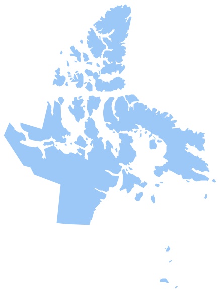
Geo Map - Canada - Yukon
Yukon has a population of over 0,03 million and an area 482,443 km²(186,272 sq mi).

Pic. 2. Yukon
Geo Map - Canada - Yukon Contour
Capital - Whitehorse

Pic. 3. Yukon Contour
Geo Map - Canada
Canada is a federation composed of ten provinces and three territories.
Area 9,984,670 km²(3,854,085 sq mi). Population 36,048,521.

Pic. 4. Canada map
Geo Map - Canada Contour
A contour map is a map illustrated with contour lines.

Pic. 5. Canada Contour
Geo Map - contours of Canada provinces and territories
Use the map contours library "Canada" to design thematic maps using the ConceptDraw DIAGRAM diagramming and vector drawing software.
The vector stencils library "Canada" contains 15 map contours: Canada political map, map contours of provinces and territories.

Pic. 6. Contours of Canada provinces and territories
All ConceptDraw DIAGRAM documents are vector graphic files and are available for reviewing, modifying, and converting to a variety of formats: image, HTML, PDF file, MS PowerPoint Presentation, Adobe Flash, MS Visio (.VDX, .VSDX).
See also Geo Maps of Canada provinces and territories: