Geo Map - Canada - Northwest Territories
Maps of Canada - Northwest Territories
"The Northwest Territories (NWT; French: les Territoires du Nord-Ouest, TNO) is one of three federal territories of Canada. The Northwest Territories entered the Canadian Confederation July 15, 1870, but the current borders were formed April 1, 1999, with the creation of Nunavut."
[Northwest Territories. Wikipedia]
The vector stencils library Northwest Territories contains contours for ConceptDraw DIAGRAM diagramming and vector drawing software. This library is contained in the Continent Maps solution from Maps area of ConceptDraw Solution Park.
Use the Northwest Territories library to draw thematic maps, geospatial infographics and vector illustrations for your business documents, presentations and websites.
Geo Map - Canada - Northwest Territories
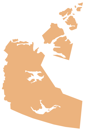
Geo Map - Canada - Northwest Territories Contour

Geo Map - Canada

Geo Map - Canada Contour

Geo Map - contours of Canada provinces and territories

See also Geo Maps of Canada provinces and territories :
THREE RELATED HOW TO's:
Yukon is the westernmost and smallest of Canada's three federal territories. Whitehorse is the territorial capital.
The vector stencils library Yukon contains contours for ConceptDraw DIAGRAM diagramming and vector drawing software. This library is contained in the Continent Maps solution from Maps area of ConceptDraw Solution Park.
Picture: Geo Map - Canada - Yukon
Related Solution:
Nunavut is the largest, northernmost and newest territory of Canada.
The vector stencils library Nunavut contains contours for ConceptDraw DIAGRAM diagramming and vector drawing software. This library is contained in the Continent Maps solution from Maps area of ConceptDraw Solution Park.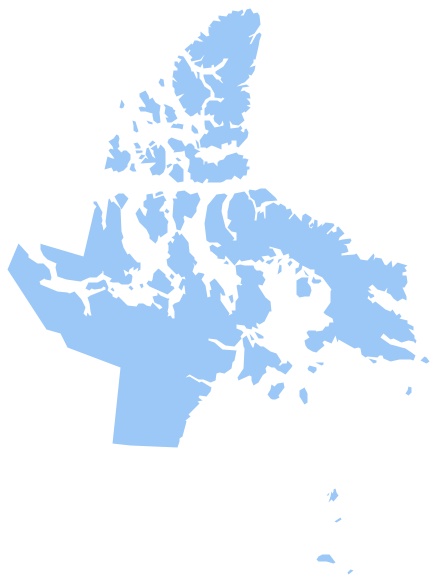
Picture: Geo Map - Canada - Nunavut
Related Solution:
No one can imagine a geography class without such educational stuff as a geo map or a globe. As for one of the biggest countries in North America, the United States of America Map is present in every American school or college. It’s easier to remember all the states if you look on the map more often.
The following sample represents the map of USA. This precise map has names of all states of America. The different colors which are used to indicate each state add the visuality and brightness to the whole map. The ConceptDraw USA Maps solution - one of a family of ConceptDraw Maps solutions. Any country invokes a big piece of data: geographical, political, statistical, etc. A simple way of representing this data is to design maps that will show a certain item in relation to a particular area of Earth.
Picture: How to Draw the US Map? ConceptDraw Diagram Software for Easy USA Map Drawing
Related Solution:


