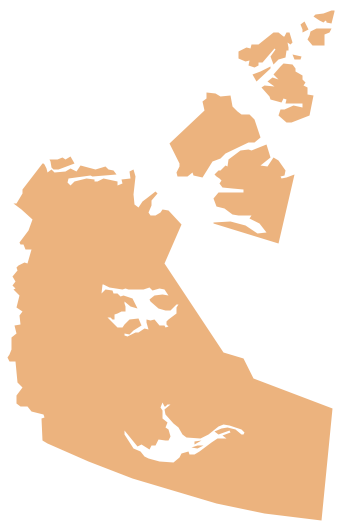
Geo Map - Canada - New Brunswick
Maps of Canada - New Brunswick
"New Brunswick is one of Canada's three Maritime provinces and is the only province in the Canadian federation that is constitutionally bilingual (English–French). It originates as the British Colony by the same name which was divided from the colony of Nova Scotia in 1784. Fredericton is the capital and Saint John is the most populous city. Greater Moncton (Moncton, Dieppe, Riverview) forms the province's largest census metropolitan area. In the 2011 nation wide census, Statistics Canada estimated the provincial population to have been 751,171. The majority of the population is English-speaking, but there is also a large Francophone minority (33%), chiefly of Acadian origin."
The vector stencils library New Brunswick contains contours for ConceptDraw DIAGRAM diagramming and vector drawing software. This library is contained in the Continent Maps solution from Maps area of ConceptDraw Solution Park.

Use the New Brunswick library to draw thematic maps, geospatial infographics and vector illustrations for your business documents, presentations and websites.
Geo Map - Canada - New Brunswick
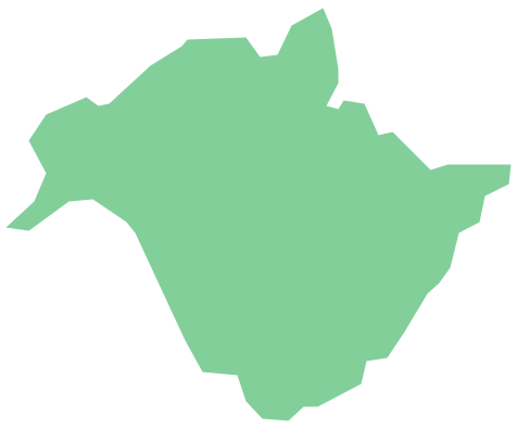
Geo Map - Canada - New Brunswick Contour

Geo Map - Canada

Geo Map - Canada Contour

Geo Map - contours of Canada provinces and territories

See also Geo Maps of Canada provinces and territories :