Geo Map - Canada - Newfoundland and Labrador
Maps of Canada - Newfoundland and Labrador
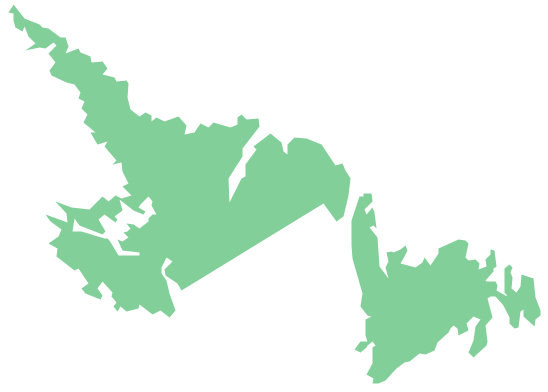
"Newfoundland and Labrador is the easternmost province of Canada. Situated in the country's Atlantic region, it incorporates the island of Newfoundland and mainland Labrador to the northwest, with a combined area of 405,212 square kilometres (156,500 sq mi). In 2013, the province's population was estimated at 526,702. Approximately 92 percent of the province's population lives on the Island of Newfoundland (including its associated smaller islands), of which more than half live on the Avalon Peninsula. The province is Canada's most linguistically homogenous, with 97.6% of residents reporting English (Newfoundland English) as their mother tongue in the 2006 census. Historically, Newfoundland was also home to unique varieties of French and Irish, as well as the now-extinct Beothuk language. In Labrador, local dialects of Innu-aimun and Inuktitut are also spoken." [Newfoundland and Labrador. Wikipedia]
The vector stencils library Newfoundland and Labrador contains contours for ConceptDraw DIAGRAM diagramming and vector drawing software. This library is contained in the Continent Maps solution from Maps area of ConceptDraw Solution Park.
Use the Newfoundland and Labrador library to draw thematic maps, geospatial infographics and vector illustrations for your business documents, presentations and websites.
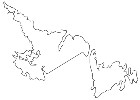
Geo Map - Canada - Newfoundland and Labrador
Geo Map - Canada - Newfoundland and Labrador Contour
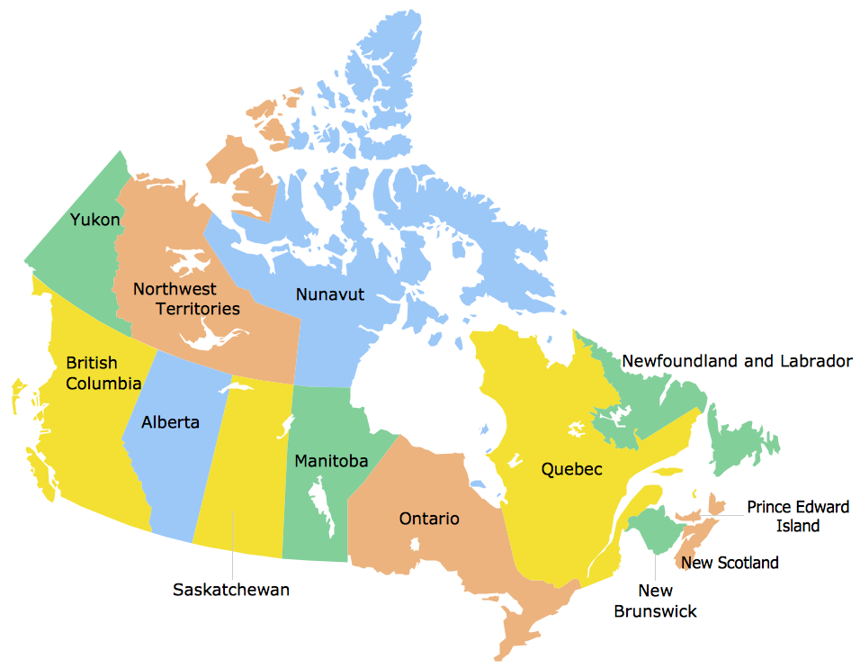
Geo Map - Canada
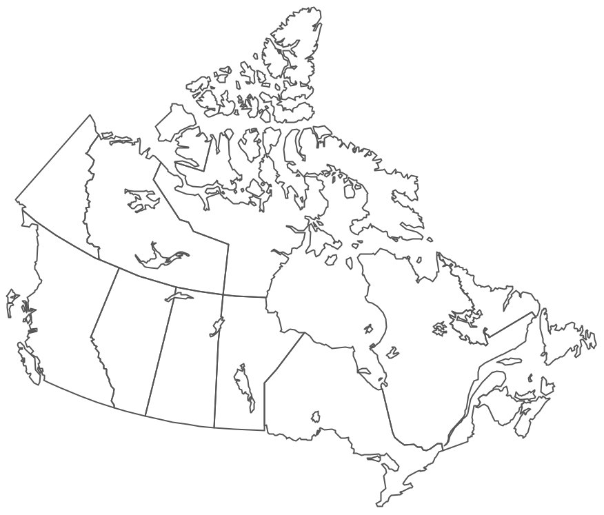
Geo Map - Canada Contour
Geo Map - contours of Canada provinces and territories
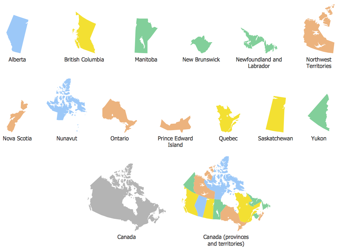
See also Geo Maps of Canada provinces and territories :
FOUR RELATED HOW TO's:
Yukon is the westernmost and smallest of Canada's three federal territories. Whitehorse is the territorial capital.
The vector stencils library Yukon contains contours for ConceptDraw DIAGRAM diagramming and vector drawing software. This library is contained in the Continent Maps solution from Maps area of ConceptDraw Solution Park.
Picture: Geo Map - Canada - Yukon
Related Solution:
Saskatchewan is a prairie province in Canada, which has a total area of 651,900 square kilometres (251,700 sq mi) and a land area of 592,534 square kilometres (228,800 sq mi), the remainder being water area (covered by lakes/ponds, reservoirs and rivers).
The vector stencils library Saskatchewan contains contours for ConceptDraw DIAGRAM diagramming and vector drawing software. This library is contained in the Continent Maps solution from Maps area of ConceptDraw Solution Park.
Picture: Geo Map - Canada - Saskatchewan
Related Solution:
Honduras, officially the Republic of Honduras, is a republic in Central America.
The vector stencils library Honduras contains contours for ConceptDraw DIAGRAM diagramming and vector drawing software. This library is contained in the Continent Maps solution from Maps area of ConceptDraw Solution Park.
Picture: Geo Map - South America - Honduras
Related Solution:
Nova Scotia is one of Canada's three Maritime provinces and constitutes one of the four Atlantic Canada provinces.
The vector stencils library Nova Scotia contains contours for ConceptDraw DIAGRAM diagramming and vector drawing software. This library is contained in the Continent Maps solution from Maps area of ConceptDraw Solution Park.
Picture: Geo Map - Canada - Nova Scotia
Related Solution: