Geo Map - Canada - Manitoba
Maps of Canada - Manitoba
"Manitoba is a Canadian prairie province. The province, with an area of 649,950 square kilometres (250,900 sq mi), has a largely continental climate, with thousands of lakes and many rivers. Agriculture, mostly concentrated in the fertile southern and western parts of the province, is vital to the province's economy; other major industries are transportation, manufacturing, mining, forestry, energy, and tourism." [Manitoba. Wikipedia]
The vector stencils library Manitoba contains contours for ConceptDraw DIAGRAM diagramming and vector drawing software. This library is contained in the Continent Maps solution from Maps area of ConceptDraw Solution Park.

Use the Manitoba library to draw thematic maps, geospatial infographics and vector illustrations for your business documents, presentations and websites.
Geo Map - Canada - Manitoba
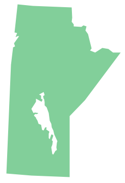
Geo Map - Canada - Manitoba Contour

Geo Map - Canada

Geo Map - Canada Contour

Geo Map - contours of Canada provinces and territories

See also Geo Maps of Canada provinces and territories :
FOUR RELATED HOW TO's:
Wisconsin is a U.S. state located in the north-central United States, in the Midwest and Great Lakes regions.
The vector stencils library Wisconsin contains contours for ConceptDraw DIAGRAM diagramming and vector drawing software. This library is contained in the Continent Maps solution from Maps area of ConceptDraw Solution Park.
Picture: Geo Map — USA — Wisconsin
Related Solution:
The Workflow diagrams are the specialized type of flowcharts which allow to visualize any sorts of step-by-step processes. They are usually created as flowcharts, with objects that represent in a simple visual manner the steps in the process connected by arrows that indicate the next step. The ability easily create Workflow diagrams visually describing the tasks, documents associated with the tasks, people which are responsible for execution at each stage of workflow is made possible with Workflow Diagrams solution. This solution extends ConceptDraw DIAGRAM with a Workflow Diagram library that contains large collection of predesigned workflow flowchart symbols.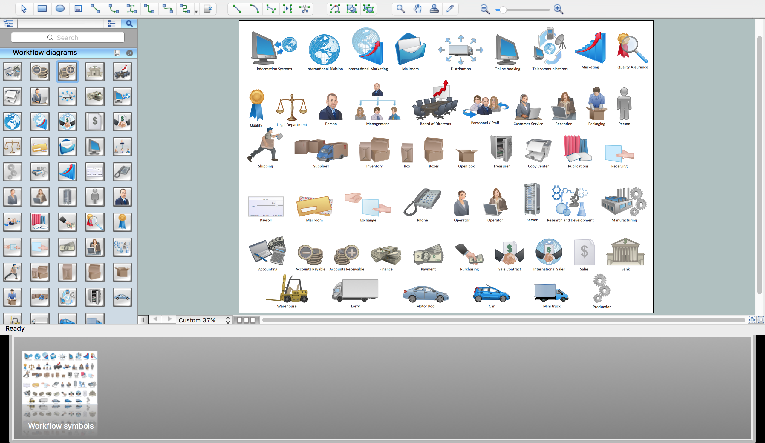
Picture: Workflow Flowchart Symbols
Related Solution:
Cisco icons are globally recognized and generally accepted as standard for network icon topologies. The ConceptDraw vector stencils library Cisco buildings contains 21 symbols for drawing the computer network diagrams using the ConceptDraw DIAGRAM diagramming and vector drawing software.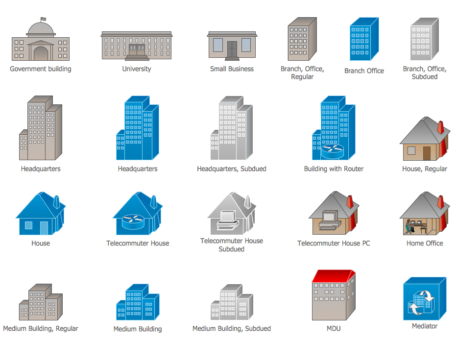
Picture: Cisco Buildings. Cisco icons, shapes, stencils and symbols
Related Solution:
Alberta is a province of Canada.
The vector stencils library Alberta contains contours for ConceptDraw DIAGRAM diagramming and vector drawing software. This library is contained in the Continent Maps solution from Maps area of ConceptDraw Solution Park.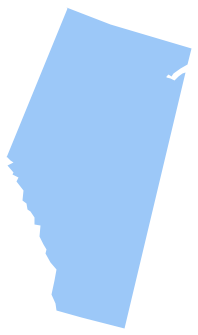
Picture: Geo Map - Canada - Alberta
Related Solution:


