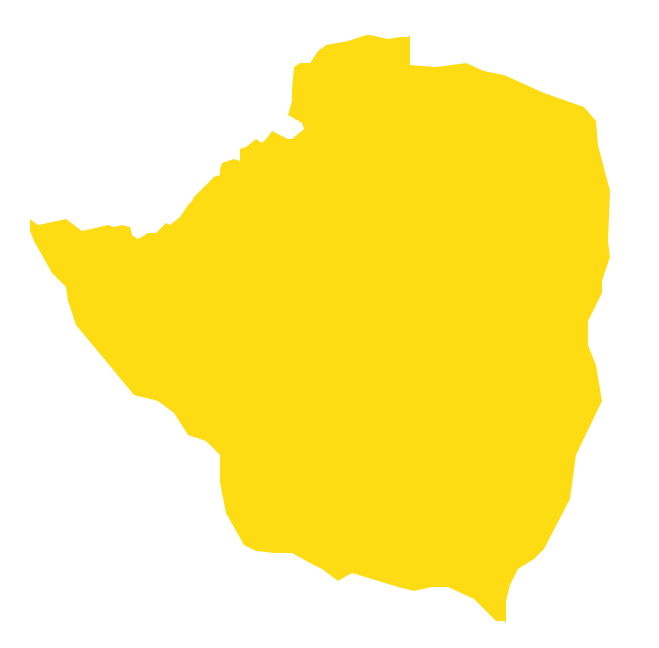
Geo Map - Africa - Zimbabwe
Maps of Africa - Republic of Zimbabwe
"Zimbabwe, officially the Republic of Zimbabwe, is a landlocked country located in southern Africa, between the Zambezi and Limpopo rivers. It is bordered by South Africa to the south, Botswana to the southwest, Zambia to the northwest and Mozambique to the east. The capital is Harare. Zimbabwe achieved de jure sovereignty from the United Kingdom in April 1980, following 14 years as an unrecognised state under the conservative white minority government of Rhodesia, which unilaterally declared independence in 1965."
The vector stencils library Zimbabwe contains contours for ConceptDraw DIAGRAM diagramming and vector drawing software. This library is contained in the Continent Maps solution from Maps area of ConceptDraw Solution Park.

Use the Zimbabwe library to draw thematic maps, geospatial infographics and vector illustrations for your business documents, presentations and websites.
Geo Map - Africa - Republic of Zimbabwe
Geo Map - Africa - Zimbabwe Contour

Geo Map - Africa

Geo Map - Africa Contour

Geo Map - contours of Africa countries

See also Geo Maps of Africa Countries :
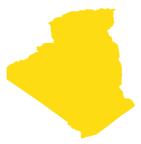
- Algeria
- Angola
- Benin
- Botswana
- Burkina Faso
- Burundi
- Cameroon
- Central African Republic
- Chad
- Congo
- Congo DRC
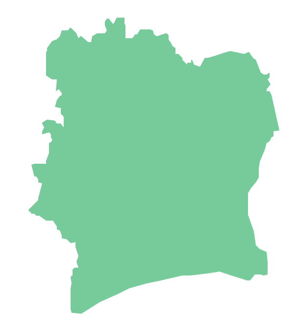
- Cote d'Ivoire
- Djibouti
- Egypt
- Equatorial Guinea
- Eritrea
- Ethiopia
- Gabon
- Gambia
- Ghana
- Guinea
- Guinea Bissau
- Kenya
- Lesotho
- Liberia
- Libya
- Madagascar
- Malawi
- Mali
- Mauritania
- Morocco
- Mozambique
- Namibia
- Niger
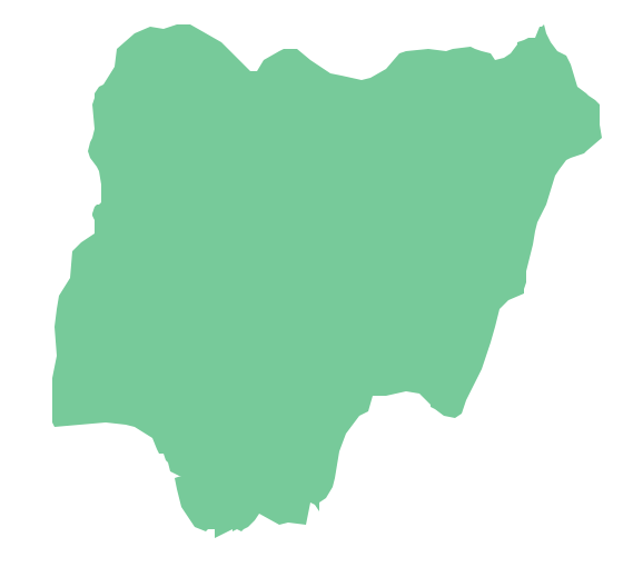
- Nigeria
- Rwanda
- Senegal
- Sierra Leone
- Somalia
- South Africa
- South Sudan
- Sudan
- Swaziland
- Tanzania
- Togo
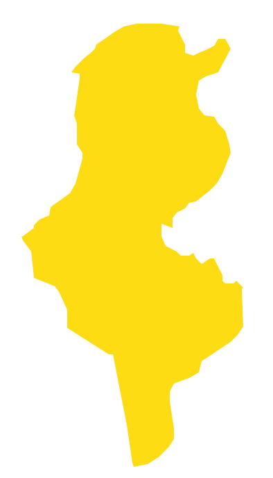
- Tunisia
- Uganda
- Western Sahara
- Zambia
- Zimbabwe