Geo Map - Africa - Western Sahara
Maps of Africa - Western Sahara
"Western Sahara, is a disputed territory in the Maghreb region of North Africa, bordered by Morocco to the north, Algeria to the extreme northeast, Mauritania to the east and south, and the Atlantic Ocean to the west. Its surface area amounts to 266,000 square kilometres (103,000 sq mi). It is one of the most sparsely populated territories in the world, mainly consisting of desert flatlands. The population is estimated at just over 500,000, of whom nearly 40% live in El Aaiún (also spelled Laâyoune), the largest city in Western Sahara."
The vector stencils library Western Sahara contains contours for ConceptDraw DIAGRAM diagramming and vector drawing software. This library is contained in the Continent Maps solution from Maps area of ConceptDraw Solution Park.
Use the Western Sahara library to draw thematic maps, geospatial infographics and vector illustrations for your business documents, presentations and websites.
Geo Map - Africa - Western Sahara
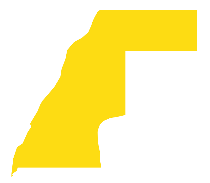
Geo Map - Africa - Western Sahara Contour

Geo Map - Africa

Geo Map - Africa Contour

Geo Map - contours of Africa countries

See also Geo Maps of Africa Countries :
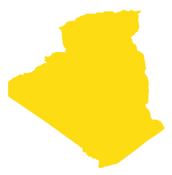
- Algeria
- Angola
- Benin
- Botswana
- Burkina Faso
- Burundi
- Cameroon
- Central African Republic
- Chad
- Congo
- Congo DRC
- Cote d'Ivoire
- Djibouti
- Egypt
- Equatorial Guinea
- Eritrea
- Ethiopia
- Gabon
- Gambia
- Ghana
- Guinea
- Guinea Bissau
- Kenya
- Lesotho
- Liberia
- Libya
- Madagascar
- Malawi
- Mali
- Mauritania
- Morocco
- Mozambique
- Namibia
- Niger
- Nigeria
- Rwanda
- Senegal
- Sierra Leone
- Somalia
- South Africa
- South Sudan
- Sudan
- Swaziland
- Tanzania
- Togo
- Tunisia
- Uganda
- Western Sahara
- Zambia
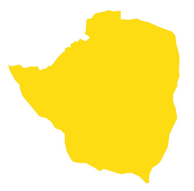
- Zimbabwe