Geo Map - Africa - Liberia
Maps of Africa - Republic of Liberia
"Liberia, officially the Republic of Liberia, is a country in West Africa bordered by Sierra Leone to its west, Guinea to its north and Ivory Coast to its east. It covers an area of 111,369 square kilometres (43,000 sq mi) and is home to about 3.7 million people. English is the official language and over thirty indigenous languages are also spoken within the country. Its coastline is composed mostly of mangroves, while its more sparsely populated inland consists of forests opening onto a plateau of drier grasslands. The climate is hot and equatorial, with significant rainfall during the May–October rainy season and harsh harmattan winds the remainder of the year. The country possesses about forty percent of the remaining Upper Guinean rainforest."
The vector stencils library Liberia contains contours for ConceptDraw DIAGRAM diagramming and vector drawing software. This library is contained in the Continent Maps solution from Maps area of ConceptDraw Solution Park.

Use the Liberia library to draw thematic maps, geospatial infographics and vector illustrations for your business documents, presentations and websites.
Geo Map - Africa - Republic of Liberia
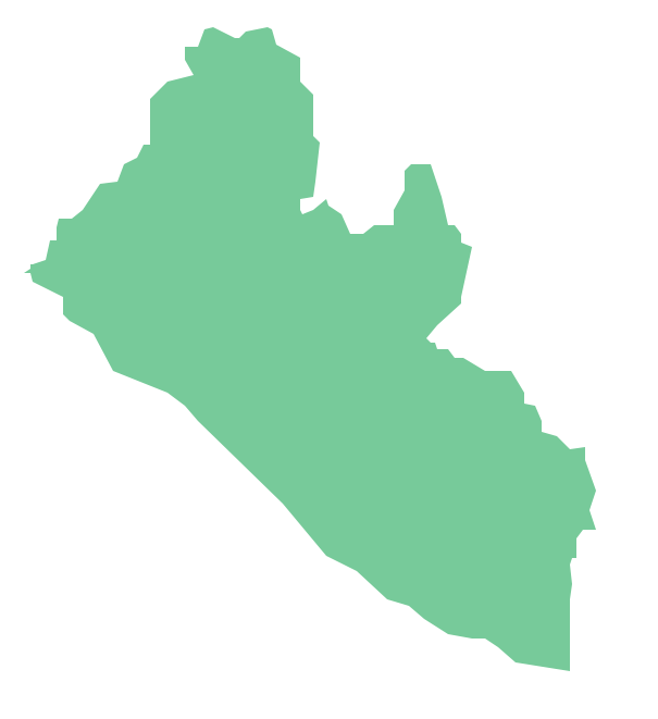
Geo Map - Africa - Liberia Contour

Geo Map - Africa

Geo Map - Africa Contour

Geo Map - contours of Africa countries

See also Geo Maps of Africa Countries :
- Algeria
- Angola
- Benin
- Botswana
- Burkina Faso
- Burundi
- Cameroon
- Central African Republic
- Chad
- Congo
- Congo DRC
- Cote d'Ivoire
- Djibouti
- Egypt
- Equatorial Guinea
- Eritrea
- Ethiopia
- Gabon
- Gambia
- Ghana
- Guinea
- Guinea Bissau
- Kenya
- Lesotho
- Liberia
- Libya
- Madagascar
- Malawi
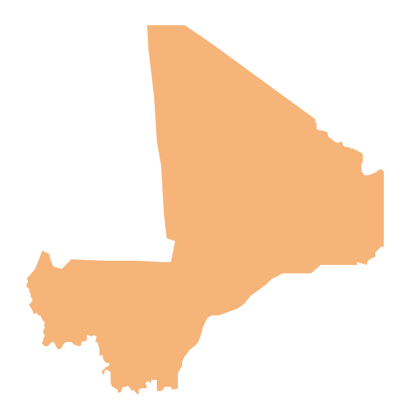
- Mali
- Mauritania
- Morocco
- Mozambique
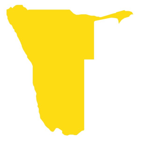
- Namibia
- Niger
- Nigeria
- Rwanda
- Senegal
- Sierra Leone
- Somalia
- South Africa
- South Sudan
- Sudan
- Swaziland
- Tanzania
- Togo
- Tunisia
- Uganda
- Western Sahara
- Zambia
- Zimbabwe