Geo Map - Africa - Mauritania
Maps of Africa - Islamic Republic of Mauritania
"Mauritania, officially the Islamic Republic of Mauritania, is a country in the Maghreb region of western North Africa. It is bordered by the Atlantic Ocean in the west, by Moroccan-controlled Western Sahara in the north, by Algeria in the northeast, by Mali in the east and southeast, and by Senegal in the southwest. It is named after the ancient Berber Kingdom of Mauretania, which existed long ago in the far north of modern-day Morocco. The capital and largest city of Mauritania is Nouakchott, located on the Atlantic coast."
The vector stencils library Mauritania contains contours for ConceptDraw DIAGRAM diagramming and vector drawing software. This library is contained in the Continent Maps solution from Maps area of ConceptDraw Solution Park.

Use the Mauritania library to draw thematic maps, geospatial infographics and vector illustrations for your business documents, presentations and websites.
Geo Map - Africa - Islamic Republic of Mauritania
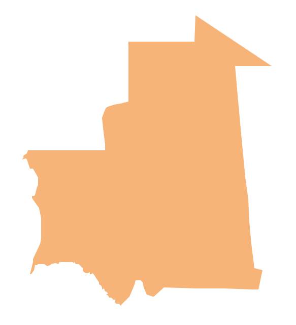
Geo Map - Africa - Mauritania Contour

Geo Map - Africa

Geo Map - Africa Contour

Geo Map - contours of Africa countries

See also Geo Maps of Africa Countries :
- Algeria
- Angola
- Benin
- Botswana
- Burkina Faso
- Burundi
- Cameroon
- Central African Republic
- Chad
- Congo
- Congo DRC
- Cote d'Ivoire
- Djibouti
- Egypt
- Equatorial Guinea
- Eritrea
- Ethiopia
- Gabon
- Gambia
- Ghana
- Guinea
- Guinea Bissau
- Kenya
- Lesotho
- Liberia
- Libya
- Madagascar
- Malawi
- Mali
- Mauritania
- Morocco
- Mozambique
- Namibia
- Niger
- Nigeria
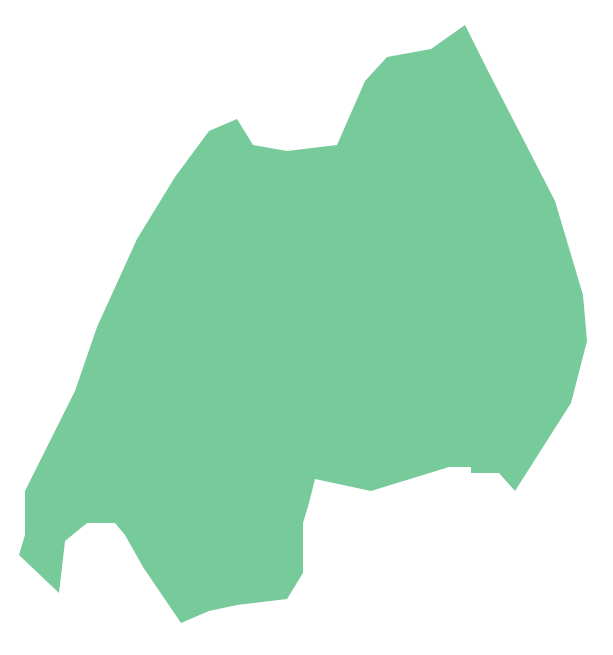
- Rwanda
- Senegal
- Sierra Leone
- Somalia
- South Africa
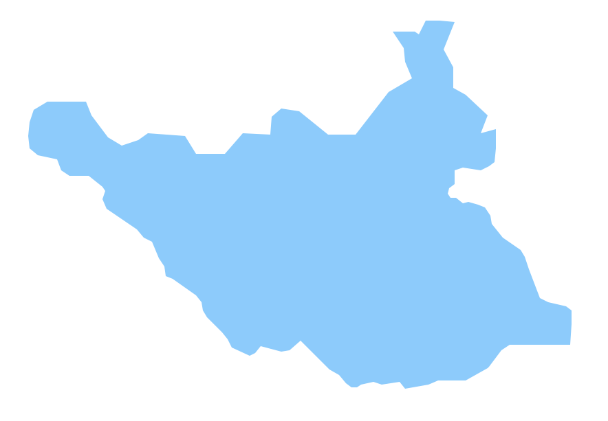
- South Sudan
- Sudan
- Swaziland
- Tanzania
- Togo
- Tunisia
- Uganda
- Western Sahara
- Zambia
- Zimbabwe