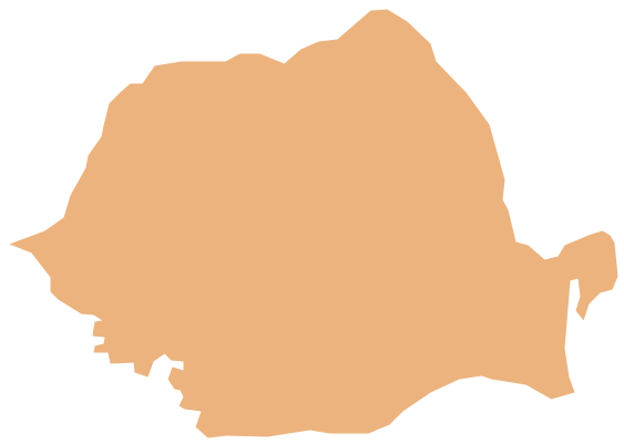
Geo Map - Africa - Sierra Leone
Maps of Africa - Republic of Sierra Leone
"Sierra Leone, officially the Republic of Sierra Leone, is a country in West Africa that is bordered by Guinea to the northeast, Liberia to the southeast, and the Atlantic Ocean to the southwest. Sierra Leone is a constitutional republic with a directly elected president and a unicameral legislature. The country has a tropical climate, with a diverse environment ranging from savannah to rainforests. The country covers a total area of 71,740 km2 (27,699 sq mi) and with an estimated population of 6 million (2011 United Nations estimate)."
The vector stencils library Sierra Leone contains contours for ConceptDraw DIAGRAM diagramming and vector drawing software. This library is contained in the Continent Maps solution from Maps area of ConceptDraw Solution Park.
Use the Sierra Leone library to draw thematic maps, geospatial infographics and vector illustrations for your business documents, presentations and websites.
Geo Map - Africa - Republic of Sierra Leone
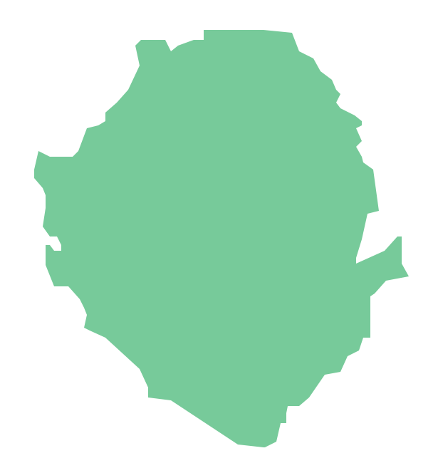
Geo Map - Africa - Sierra Leone Contour

Geo Map - Africa

Geo Map - Africa Contour

Geo Map - contours of Africa countries

See also Geo Maps of Africa Countries :
- Algeria
- Angola
- Benin
- Botswana
- Burkina Faso
- Burundi
- Cameroon
- Central African Republic
- Chad
- Congo
- Congo DRC
- Cote d'Ivoire
- Djibouti
- Egypt
- Equatorial Guinea
- Eritrea
- Ethiopia
- Gabon
- Gambia
- Ghana
- Guinea
- Guinea Bissau
- Kenya
- Lesotho
- Liberia
- Libya
- Madagascar
- Malawi
- Mali
- Mauritania
- Morocco
- Mozambique
- Namibia
- Niger
- Nigeria
- Rwanda
- Senegal
- Sierra Leone
- Somalia
- South Africa
- South Sudan
- Sudan
- Swaziland
- Tanzania
- Togo
- Tunisia
- Uganda
- Western Sahara
- Zambia
- Zimbabwe