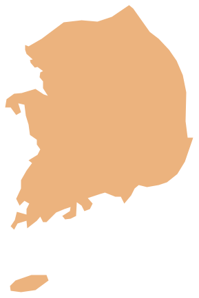
Geo Map - Africa - Senegal
Maps of Africa - Republic of Senegal
"Senegal, officially the Republic of Senegal (République du Sénégal, IPA: [ʁepyblik dy seneɡal]), is a country in West Africa. It owes its name to the Sénégal River that borders it to the east and north. Senegal is externally bounded by the Atlantic Ocean to the west, Mauritania to the north, Mali to the east, and Guinea and Guinea-Bissau to the south; internally it almost completely surrounds the Gambia, namely on the north, east and south, except for Gambia's short Atlantic coastline. Senegal covers a land area of almost 197,000 square kilometres (76,000 sq mi), and has an estimated population of about 13 million. The climate is tropical with two seasons: the dry season and the rainy season."
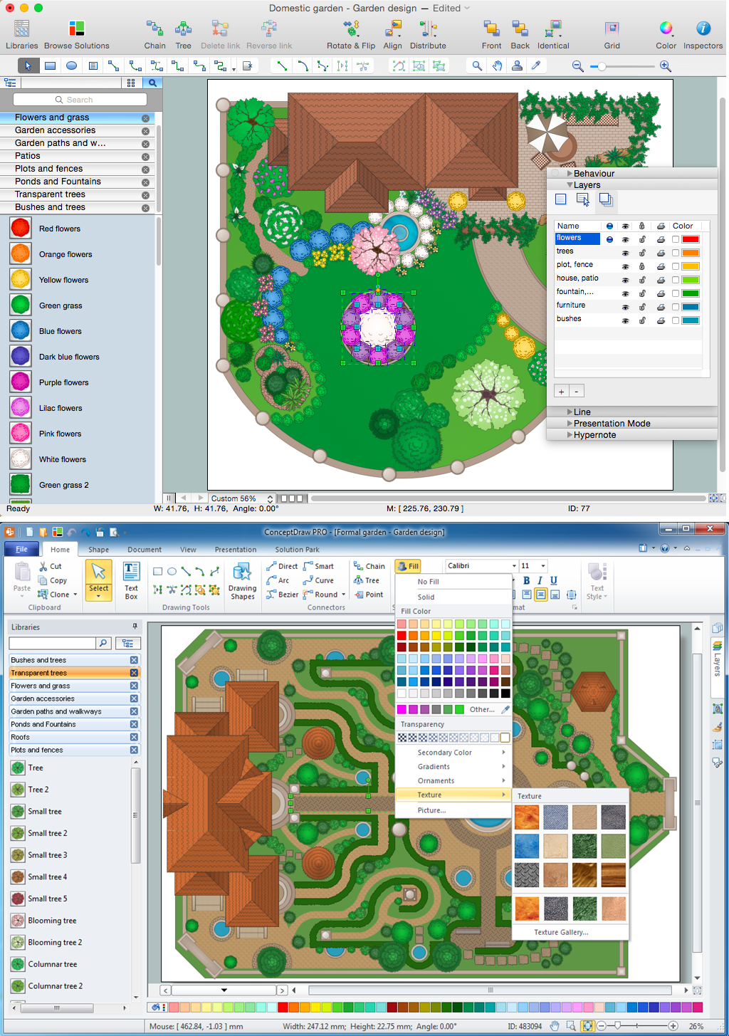
The vector stencils library Senegal contains contours for ConceptDraw DIAGRAM diagramming and vector drawing software. This library is contained in the Continent Maps solution from Maps area of ConceptDraw Solution Park.

Pic. 1. Continent Maps Solution
Use the Senegal library to draw thematic maps, geospatial infographics and vector illustrations for your business documents, presentations and websites.
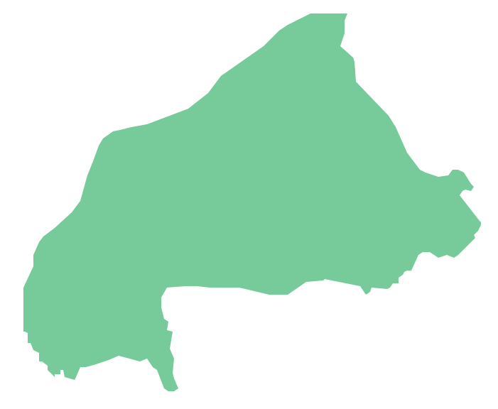
Geo Map - Africa - Republic of Senegal
Senegal has a population of over 13.5 million and an area 196,712 km2(76,000 sq mi).

Pic. 2. Republic of Senegal
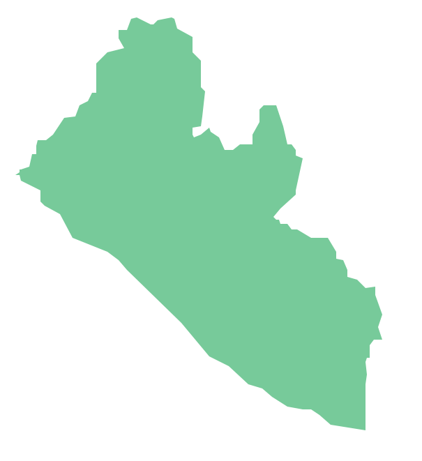
Geo Map - Africa - Senegal Contour
Capital - Dakar

Pic. 3. Senegal Contour
Geo Map - Africa
Africa is the world's second-largest and second-most-populous continent. It contains 54 countries.

Pic. 4. Africa Map
Geo Map - Africa Contour
A contour map is a map illustrated with contour lines.

Pic. 5. Africa Contour
Geo Map - contours of Africa countries
Use the map contours library "Africa" to design thematic maps using the ConceptDraw DIAGRAM diagramming and vector drawing software.
The vector stencils library "Africa" contains 62 map contours: Africa political map, map contours of countries.

Pic. 6. Contours of Africa countries
All ConceptDraw DIAGRAM documents are vector graphic files and are available for reviewing, modifying, and converting to a variety of formats: image, HTML, PDF file, MS PowerPoint Presentation, Adobe Flash, MS Visio (.VDX, .VSDX).
See also Geo Maps of Africa Countries :
- Algeria
- Angola
- Benin
- Botswana
- Burkina Faso
- Burundi
- Cameroon
- Central African Republic
- Chad
- Congo
- Congo DRC
- Cote d'Ivoire
- Djibouti
- Egypt
- Equatorial Guinea
- Eritrea
- Ethiopia
- Gabon
- Gambia
- Ghana
- Guinea
- Guinea Bissau
- Kenya
- Lesotho
- Liberia
- Libya
- Madagascar
- Malawi
- Mali
- Mauritania
- Morocco
- Mozambique
- Namibia
- Niger
- Nigeria
- Rwanda
- Senegal
- Sierra Leone
- Somalia
- South Africa
- South Sudan
- Sudan
- Swaziland
- Tanzania
- Togo
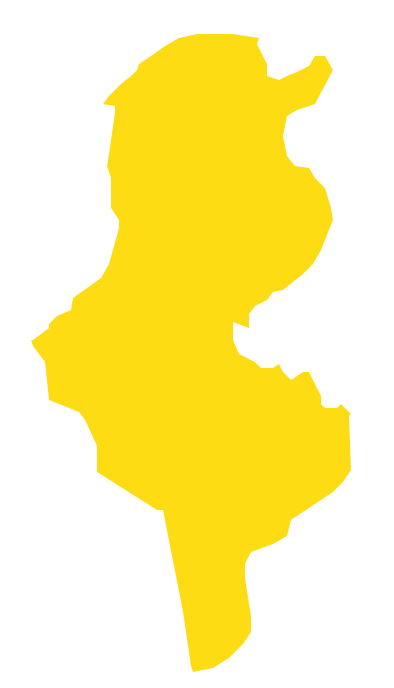
- Tunisia
- Uganda
- Western Sahara
- Zambia
- Zimbabwe