Geo Map — Africa — Sudan
Maps of Africa — Republic of the Sudan
"Sudan, officially the Republic of the Sudan is an Arab state in the Nile Valley of North Africa, bordered by Egypt to the north, the Red Sea, Eritrea and Ethiopia to the east, South Sudan to the south, the Central African Republic to the southwest, Chad to the west and Libya to the northwest. The Nile River divides the country into eastern and western halves. Its predominant religion is Islam. Almost one-fifth of Sudan's population lives below the international poverty line." [Sudan. Wikipedia]
The vector stencils library Sudan contains contours for ConceptDraw DIAGRAM diagramming and vector drawing software. This library is contained in the Continent Maps solution from Maps area of ConceptDraw Solution Park.
Use the Sudan library to draw thematic maps, geospatial infographics and vector illustrations for your business documents, presentations and websites.
Geo Map — Africa — Republic of the Sudan
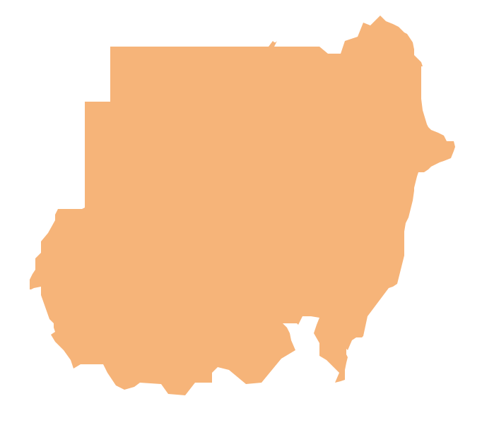
Geo Map — Africa — Sudan Contour

Geo Map — Africa

Geo Map — Africa Contour

Geo Map — Contours of Africa Countries

See also Geo Maps of Africa Countries :
- Algeria
- Angola
- Benin
- Botswana
- Burkina Faso
- Burundi
- Cameroon
- Central African Republic
- Chad
- Congo
- Congo DRC
- Cote d'Ivoire
- Djibouti
- Egypt
- Equatorial Guinea
- Eritrea
- Ethiopia
- Gabon
- Gambia
- Ghana
- Guinea
- Guinea Bissau
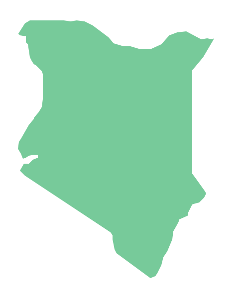
- Kenya
- Lesotho
- Liberia
- Libya
- Madagascar
- Malawi
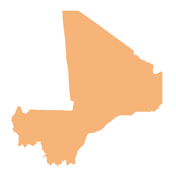
- Mali
- Mauritania
- Morocco
- Mozambique
- Namibia
- Niger
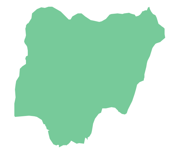
- Nigeria
- Rwanda
- Senegal
- Sierra Leone
- Somalia
- South Africa
- South Sudan
- Sudan
- Swaziland
- Tanzania
- Togo
- Tunisia
- Uganda
- Western Sahara
- Zambia
- Zimbabwe