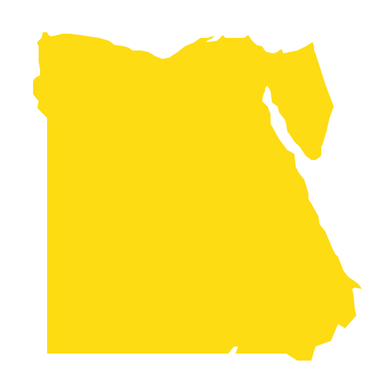
Geo Map - Africa - Egypt
Maps of Africa - Egypt
"Egypt, is a transcontinental country spanning the northeast corner of Africa and southwest corner of Asia, via a land bridge formed by the Sinai Peninsula. Most of its territory of 1,010,000 square kilometers (390,000 sq mi) lies within the Nile Valley of North Africa and is bordered by the Mediterranean Sea to the north, the Gaza Strip and Israel to the northeast, the Gulf of Aqaba to the east, the Red Sea to the east and south, Sudan to the south and Libya to the west."
[Egypt. Wikipedia]
The vector stencils library Egypt contains contours for ConceptDraw DIAGRAM diagramming and vector drawing software. This library is contained in the Continent Maps solution from Maps area of ConceptDraw Solution Park.

Use the Egypt library to draw thematic maps, geospatial infographics and vector illustrations for your business documents, presentations and websites.
Geo Map - Africa - Egypt
Geo Map - Africa - Egypt Contour

Geo Map - Africa

Geo Map - Africa Contour

Geo Map - contours of Africa countries

See also Geo Maps of Africa Countries :
SEVEN RELATED HOW TO's:
Bulgaria, officially the Republic of Bulgaria, is a country located in Southeastern Europe.
Use the Continent Maps solution to create Bulgaria geographical map, cartograms and thematic map, to help visualize the business and thematic information connected with geographic areas, locations or customs.
Picture: Geo Map - Europe - Bulgaria
Related Solution:
Ethiopia, officially known as the Federal Democratic Republic of Ethiopia, is a country located in the Horn of Africa.
The vector stencils library Ethiopia contains contours for ConceptDraw DIAGRAM diagramming and vector drawing software. This library is contained in the Continent Maps solution from Maps area of ConceptDraw Solution Park.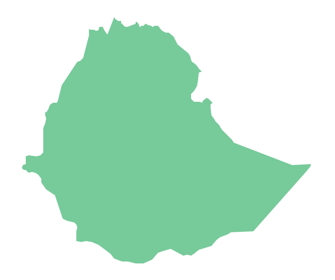
Picture: Geo Map - Africa - Ethiopia
Related Solution:
Chad, officially the Republic of Chad, is a landlocked country in Central Africa.
The vector stencils library Chad contains contours for ConceptDraw DIAGRAM diagramming and vector drawing software. This library is contained in the Continent Maps solution from Maps area of ConceptDraw Solution Park.
Picture: Geo Map - Africa - Chad
Related Solution:
The vector stencils library Luxembourg contains contours for ConceptDraw DIAGRAM diagramming and vector drawing software. This library is contained in the Continent Maps solution from Maps area of ConceptDraw Solution Park.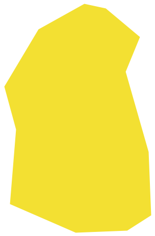
Picture: Geo Map - Europe - Luxembourg
Related Solution:
Tunisia, officially the Tunisian Republic, is a country in the Maghreb region of North Africa.
The vector stencils library Tunisia contains contours for ConceptDraw DIAGRAM diagramming and vector drawing software. This library is contained in the Continent Maps solution from Maps area of ConceptDraw Solution Park.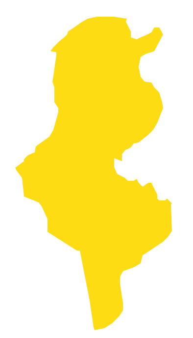
Picture: Geo Map - Africa - Tunisia
Related Solution:
Use the Mali library to draw thematic maps, geospatial infographics and vector illustrations for your business documents, presentations and websites.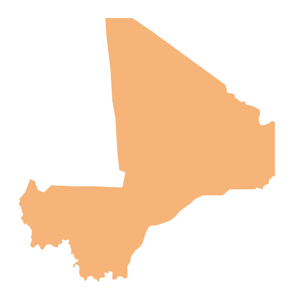
Picture: Geo Map — Africa — Mali
Related Solution:
Angola, officially the Republic of Angola, is a country in Southern Africa bordered by Namibia on the south, the Democratic Republic of the Congo on the north, and Zambia on the east; its west coast is on the Atlantic Ocean and Luanda is its capital city.
The vector stencils library Angola contains contours for ConceptDraw DIAGRAM diagramming and vector drawing software. This library is contained in the Continent Maps solution from Maps area of ConceptDraw Solution Park.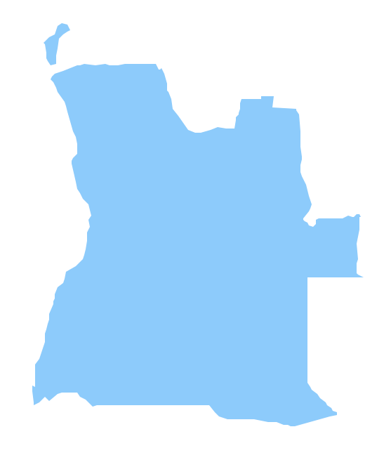
Picture: Geo Map - Africa - Angola
Related Solution:


