Geo Map - Africa - Kenya
Maps of Africa - Republic of Kenya
"Kenya, officially the Republic of Kenya, is a sovereign state in the African Great Lakes region of East Africa. Its capital and largest city is Nairobi. Kenya lies on the equator with the Indian Ocean to the south-east, Tanzania to the south, Uganda to the west, South Sudan to the north-west, Ethiopia to the north and Somalia to the north-east. Kenya covers 581,309 km2 (224,445 sq mi) and has a population of about 44 million in July 2012. The country is named after Mount Kenya, the second highest mountain in Africa."
[Kenya. Wikipedia]
The vector stencils library Kenya contains contours for ConceptDraw DIAGRAM diagramming and vector drawing software. This library is contained in the Continent Maps solution from Maps area of ConceptDraw Solution Park.

Use the Kenya library to draw thematic maps, geospatial infographics and vector illustrations for your business documents, presentations and websites.
Geo Map - Africa - Republic of Kenya
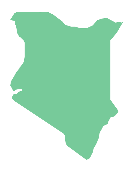
Geo Map - Africa - Kenya Contour

Geo Map - Africa

Geo Map - Africa Contour

Geo Map - contours of Africa countries

See also Geo Maps of Africa Countries :
NINE RELATED HOW TO's:
Djibouti, officially the Republic of Djibouti, is a country located in the Horn of Africa. The vector stencils library Djibouti contains contours for ConceptDraw DIAGRAM diagramming and vector drawing software. This library is contained in the Continent Maps solution from Maps area of ConceptDraw Solution Park.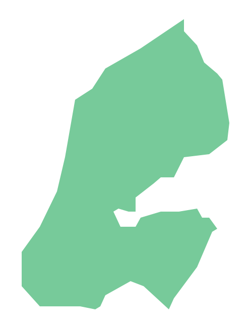
Picture: Geo Map - Africa - Djibouti
Related Solution:
ConceptDraw DIAGRAM diagramming and vector drawing software offers the Australia Map Solution from the Maps Area of ConceptDraw Solution Park - the best tool for fast and easy drawing various types of Australia maps, maps of Australia states and islands, Map Australia with cities, thematic Australia maps and cartograms of any degree of detailing.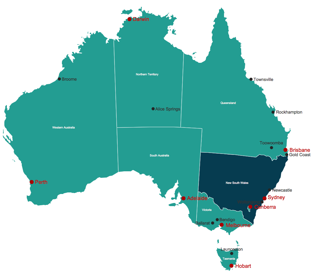
Picture: Map Australia
Related Solution:
The Central African Republic is a landlocked country in Central Africa. It is bordered by Chad in the north, Sudan in the northeast, South Sudan in the east, the Democratic Republic of the Congo and the Republic of the Congo in the south and Cameroon in the west.
The vector stencils library Central African Republic contains contours for ConceptDraw DIAGRAM diagramming and vector drawing software. This library is contained in the Continent Maps solution from Maps area of ConceptDraw Solution Park.
Picture: Geo Map - Africa - Central African Republic
Related Solution:
The Saarland is one of the sixteen federal states (or Bundesländer) of Germany. The capital city is Saarbrücken.
Despite the fact that the maps surround us everywhere in our life, usually the process of their drawing is sufficienly complex and labor-intensive. But now, thanks to the ConceptDraw DIAGRAM diagramming and vector drawing software extended with Germany Map Solution from the Maps Area of ConceptDraw Solution Park, we have the possibility to make easier this process. Design fast and easy your own pictorial maps of Germany, map of Germany with cities, and thematic Germany maps in ConceptDraw DIAGRAM!
Picture: Map of Germany — Saarland State
Related Solution:
Guinea-Bissau, officially the Republic of Guinea-Bissau, is a country in West Africa.
The vector stencils library Guinea Bissau contains contours for ConceptDraw DIAGRAM diagramming and vector drawing software. This library is contained in the Continent Maps solution from Maps area of ConceptDraw Solution Park.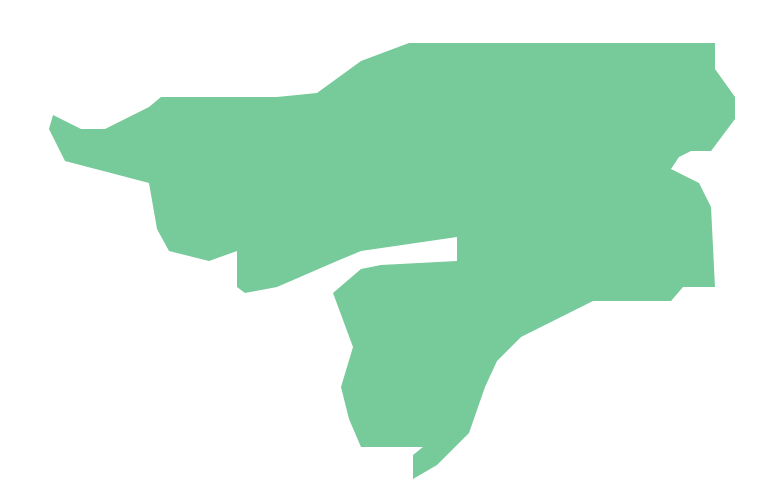
Picture: Geo Map - Africa - Guinea Bissau
Related Solution:
Kenya, officially the Republic of Kenya, is a sovereign state in the African Great Lakes region of East Africa.
The vector stencils library Kenya contains contours for ConceptDraw DIAGRAM diagramming and vector drawing software. This library is contained in the Continent Maps solution from Maps area of ConceptDraw Solution Park.Picture: Geo Map - Africa - Kenya
Related Solution:
Cisco switches and hubs deliver the best performance, and often used as network solutions for small businesses, enterprises, data centers. Cisco switches are the core interconnect devices of each computer network. The numerous Cisco switches specifically designed for various applications. Network switches are separated for two types: fixed configuration and modular switches. The fixed configuration switches deprecate swapping or adding another module, and vice versa for modular switch.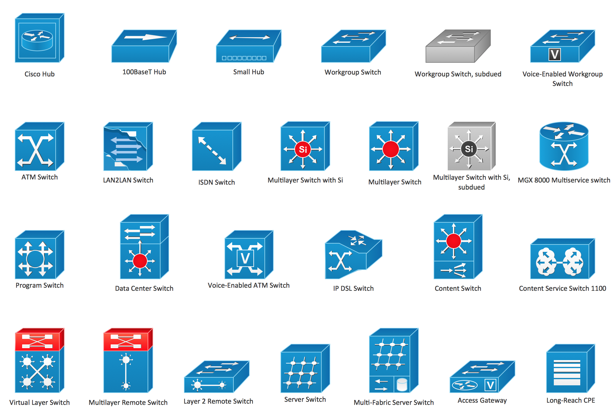
Picture: Cisco Switches and Hubs. Cisco icons, shapes, stencils and symbols
Related Solution:
Laos, officially the Lao People's Democratic Republic, is a landlocked country in Southeast Asia, bordered by Burma and China to the northwest, Vietnam to the east, Cambodia to the south, and Thailand to the west.
The vector stencils library Laos contains contours for ConceptDraw DIAGRAM diagramming and vector drawing software. This library is contained in the Continent Maps solution from Maps area of ConceptDraw Solution Park.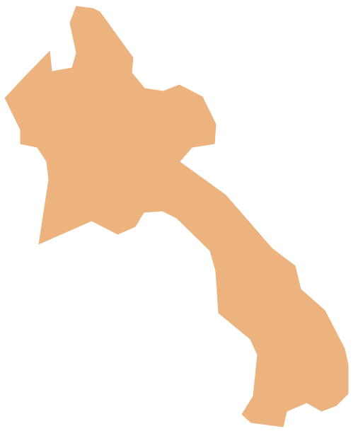
Picture: Geo Map - Asia - Laos
Related Solution:
Senegal, officially the Republic of Senegal, is a country in West Africa.
The vector stencils library Senegal contains contours for ConceptDraw DIAGRAM diagramming and vector drawing software. This library is contained in the Continent Maps solution from Maps area of ConceptDraw Solution Park.
Picture: Geo Map - Africa - Senegal
Related Solution:


