Geo Map - Africa - Congo DRC
Maps of Africa - Democratic Republic of the Congo
"The Democratic Republic of the Congo, sometimes referred to as DR Congo, Congo-Kinshasa, DROC, or RDC, is a country located in the African Great Lakes region of Central Africa. It is the second largest country in Africa by area and the eleventh largest in the world. With a population of over 75 million, the Democratic Republic of the Congo is the nineteenth most populous nation in the world, the fourth most populous nation in Africa, as well as the most populous officially Francophone country."
The vector stencils library Congo DRC contains contours for ConceptDraw DIAGRAM diagramming and vector drawing software. This library is contained in the Continent Maps solution from Maps area of ConceptDraw Solution Park.

Use the Congo DRC library to draw thematic maps, geospatial infographics and vector illustrations for your business documents, presentations and websites.
Geo Map - Africa - Democratic Republic of the Congo
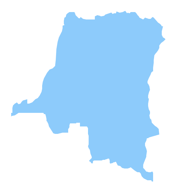
Geo Map - Africa - Congo DRC Contour

Geo Map - Africa

Geo Map - Africa Contour

Geo Map - contours of Africa countries

See also Geo Maps of Africa Countries :
- Algeria
- Angola
- Benin
- Botswana
- Burkina Faso
- Burundi
- Cameroon
- Central African Republic
- Chad
- Congo
- Congo DRC
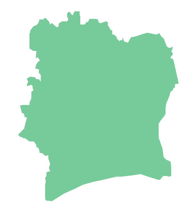
- Cote d'Ivoire
- Djibouti
- Egypt
- Equatorial Guinea
- Eritrea
- Ethiopia
- Gabon
- Gambia
- Ghana
- Guinea
- Guinea Bissau
- Kenya
- Lesotho
- Liberia
- Libya
- Madagascar
- Malawi
- Mali
- Mauritania
- Morocco
- Mozambique
- Namibia
- Niger
- Nigeria
- Rwanda
- Senegal
- Sierra Leone
- Somalia
- South Africa
- South Sudan
- Sudan
- Swaziland
- Tanzania
- Togo
- Tunisia
- Uganda
- Western Sahara
- Zambia
- Zimbabwe