Geo Map - Africa - Eritrea
Maps of Africa - State of Eritrea
"Eritrea, is a country in the Horn of Africa. With its capital at Asmara, it is bordered by Sudan to the west, Ethiopia in the south, and Djibouti in the east. The northeastern and eastern parts of Eritrea have an extensive coastline along the Red Sea, across from Saudi Arabia and Yemen. The nation has a total area of approximately 117,600 km2 (45,406 sq mi), and includes the Dahlak Archipelago and several of the Hanish Islands."
The vector stencils library Eritrea contains contours for ConceptDraw DIAGRAM diagramming and vector drawing software. This library is contained in the Continent Maps solution from Maps area of ConceptDraw Solution Park.
Use the Eritrea library to draw thematic maps, geospatial infographics and vector illustrations for your business documents, presentations and websites.
Geo Map - Africa - State of Eritrea
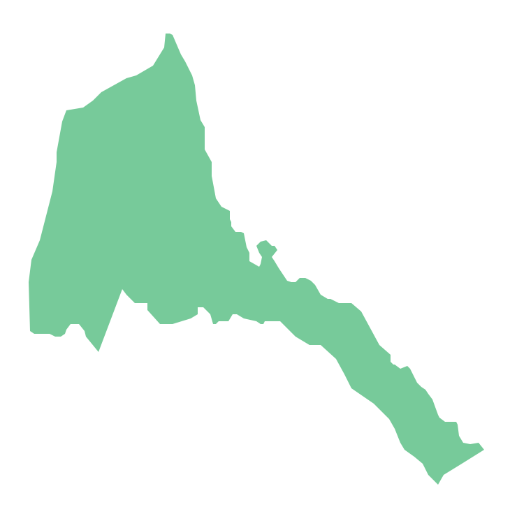
Geo Map - Africa - Eritrea Contour

Geo Map - Africa

Geo Map - Africa Contour

Geo Map - contours of Africa countries

See also Geo Maps of Africa Countries :
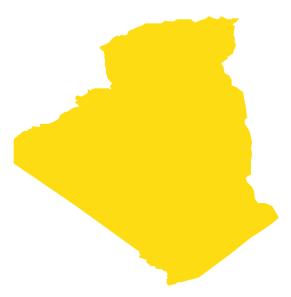
- Algeria
- Angola
- Benin
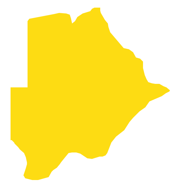
- Botswana
- Burkina Faso
- Burundi
- Cameroon
- Central African Republic
- Chad
- Congo
- Congo DRC
- Cote d'Ivoire
- Djibouti
- Egypt
- Equatorial Guinea
- Eritrea
- Ethiopia
- Gabon
- Gambia
- Ghana
- Guinea
- Guinea Bissau
- Kenya
- Lesotho
- Liberia
- Libya
- Madagascar
- Malawi
- Mali
- Mauritania
- Morocco
- Mozambique
- Namibia
- Niger
- Nigeria
- Rwanda
- Senegal
- Sierra Leone
- Somalia
- South Africa
- South Sudan
- Sudan
- Swaziland
- Tanzania
- Togo
- Tunisia
- Uganda
- Western Sahara
- Zambia
- Zimbabwe