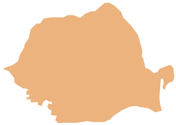
Geo Map - Europe - Romania
Maps of Europe - Romania
"Romania is a country located in Southeastern Europe, bordering the Black Sea. Romania shares a border with Hungary and Serbia to the west, Ukraine and Moldova to the northeast and east, and Bulgaria to the south. At 238,391 square kilometres (92,043 sq mi), Romania is the eighth largest country of the European Union by area, and has the seventh largest population of the European Union with 20,121,641 people (20 October 2011). Its capital and largest city is Bucharest – the sixth largest city in the EU."
The vector stencils library Romania contains contours for ConceptDraw DIAGRAM diagramming and vector drawing software. This library is contained in the Continent Maps solution from Maps area of ConceptDraw Solution Park.

Use the Romania library to draw thematic maps, geospatial infographics and vector illustrations for your business documents, presentations and websites.
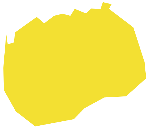
Geo Map - Europe - Romania
Geo Map - Europe - Romania Contour

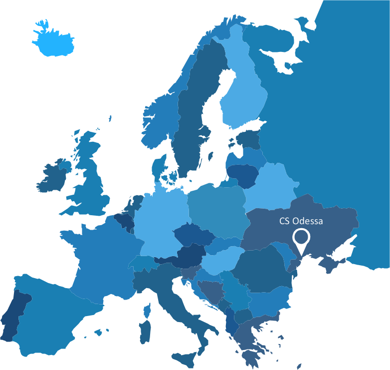
Geo Map - Europe

Geo Map - Europe Contour

Geo Map - contours of Europe countries

See also Geo Maps of Europe Countries :
- Albania
- Austria
- Belarus
- Bulgaria
- Bosnia and Herzegovina
- Belgium
- Czech Republic
- Croatia
- Denmark
- Estonia
- France
- Finland
- Greece
- Germany
- Hungary
- Italy
- Ireland
- Iceland
- United Kingdom
- Latvia
- Luxembourg
- Lithuania
- Montenegro
- Macedonia
- Moldova
- Norway
- Netherlands
- Portugal
- Poland
- Russia
- Romania
- Switzerland
- Sweden
- Spain
- Slovenia
- Slovakia
- Serbia
- Ukraine