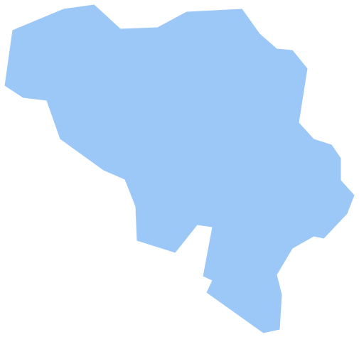
Geo Map - Europe - Bosnia and Herzegovina
Maps of Europe - New South Wales
"Bosnia and Herzegovina, sometimes called Bosnia-Herzegovina or simply Bosnia, is a country in Southeastern Europe. Its capital and largest city is Sarajevo with a population of 369,534 people and 515,012 inhabitants across the entire metropolitan area. Bordered by Croatia to the north, west and south, Serbia to the east, and Montenegro to the southeast, Bosnia and Herzegovina is almost landlocked, except for the 20 kilometres (12 miles) of coastline on the Adriatic Sea surrounding the city of Neum. In the central and southern interior of the country the geography is mountainous, in the northwest it is moderately hilly, and the northeast is predominantly flatland. The inland is a geographically larger region and has a moderate continental climate, bookended by hot summers and cold and snowy winters. The southern tip of the country has a Mediterranean climate and plain topography."
The vector stencils library Bosnia and Herzegovina contains contours for ConceptDraw DIAGRAM diagramming and vector drawing software. This library is contained in the Continent Maps solution from Maps area of ConceptDraw Solution Park.
Use the Bosnia and Herzegovina library to draw thematic maps, geospatial infographics and vector illustrations for your business documents, presentations and websites.
Geo Map - Europe - Bosnia and Herzegovina
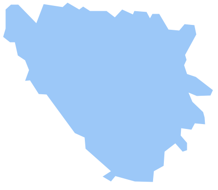
Geo Map - Europe - Bosnia and Herzegovina Contour

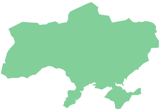
Geo Map - Europe

Geo Map - Europe Contour

Geo Map - contours of Europe countries

See also Geo Maps of Europe Countries :
- Albania
- Austria
- Belarus
- Bulgaria
- Bosnia and Herzegovina
- Belgium
- Czech Republic
- Croatia
- Denmark
- Estonia
- France
- Finland
- Greece
- Germany
- Hungary
- Italy
- Ireland
- Iceland
- United Kingdom
- Latvia
- Luxembourg
- Lithuania
- Montenegro
- Macedonia
- Moldova
- Norway
- Netherlands
- Portugal
- Poland
- Russia
- Romania
- Switzerland
- Sweden
- Spain
- Slovenia
- Slovakia
- Serbia
- Ukraine