Geo Map - Europe - Norway
Maps of Europe - Kingdom of Norway
"Norway, officially the Kingdom of Norway, is a Scandinavian unitary constitutional monarchy whose territory comprises the western portion of the Scandinavian Peninsula, Jan Mayen, the Arctic archipelago of Svalbard, and the sub-Antarctic Bouvet Island. Norway has a total area of 385,252 square kilometres (148,747 sq mi) and a population of a little above 5 million. It is the 2nd least densely populated country in Europe. The country shares a long eastern border with Sweden (1,619 km or 1,006 mi long), which is the longest uninterrupted border within both Scandinavia & Europe at large. Norway is bordered by Finland and Russia to the north-east, and the Skagerrak Strait to the south, with Denmark on the other side. It shares maritime borders with Russia by the Barents Sea; Greenland, the Faroe Islands, and Iceland by the Norwegian Sea; and Sweden, Denmark, and the United Kingdom by the North Sea. Norway's extensive coastline, facing the North Atlantic Ocean and the Barents Sea, is laced with fjords, a renowned part of its landscape. The capital city Oslo is the largest in the nation, with a population of 650 thousand. Norway has extensive reserves of petroleum, natural gas, minerals, lumber, seafood, fresh water, and hydropower." [Norway. Wikipedia]
The vector stencils library Norway contains contours for ConceptDraw DIAGRAM diagramming and vector drawing software. This library is contained in the Continent Maps solution from Maps area of ConceptDraw Solution Park.

Use the Norway library to draw thematic maps, geospatial infographics and vector illustrations for your business documents, presentations and websites.
Geo Map - Europe - Kingdom of Norway

Geo Map - Europe - Norway Contour

Geo Map - Europe

Geo Map - Europe Contour

Geo Map - contours of Europe countries

See also Geo Maps of Europe Countries :
TEN RELATED HOW TO's:
ConceptDraw DIAGRAM extended with Divided Bar Diagrams solution from Graphs and Charts area of ConceptDraw Solution Park is the best software for quick and simple drawing the Divided Bar Diagrams and Bar Diagram Math.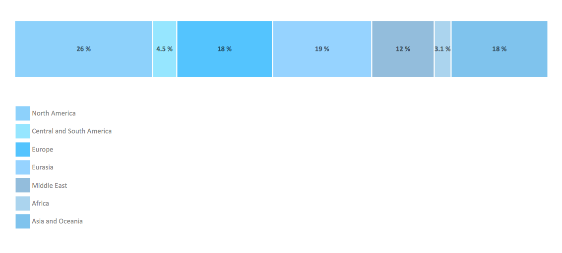
Picture: Bar Diagram Math
Related Solution:
Egypt, is a transcontinental country spanning the northeast corner of Africa and southwest corner of Asia, via a land bridge formed by the Sinai Peninsula.
The vector stencils library Egypt contains contours for ConceptDraw DIAGRAM diagramming and vector drawing software. This library is contained in the Continent Maps solution from Maps area of ConceptDraw Solution Park.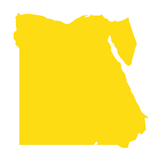
Picture: Geo Map - Africa - Egypt
Related Solution:
Now it’s easy to share your visual documents with other people in a form most convenient for them.
ConceptDraw DIAGRAM can save your drawings and diagrams in a number of highly useful formats, including graphic files. You can save your drawing as a.PNG,.JPG, or other graphic format file.
Picture: Export from ConceptDraw DIAGRAM Document to a Graphic File
Ethiopia, officially known as the Federal Democratic Republic of Ethiopia, is a country located in the Horn of Africa.
The vector stencils library Ethiopia contains contours for ConceptDraw DIAGRAM diagramming and vector drawing software. This library is contained in the Continent Maps solution from Maps area of ConceptDraw Solution Park.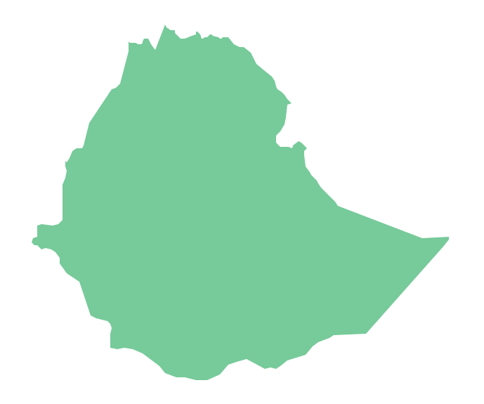
Picture: Geo Map - Africa - Ethiopia
Related Solution:
Iowa is a U.S. state in the Midwestern United States, a region sometimes called the American Heartland.
The vector stencils library Iowa contains contours for ConceptDraw DIAGRAM diagramming and vector drawing software. This library is contained in the Continent Maps solution from Maps area of ConceptDraw Solution Park.
Picture: Geo Map — USA — Iowa
Related Solution:
The vector stencils library Finland contains contours for ConceptDraw DIAGRAM diagramming and vector drawing software. This library is contained in the Continent Maps solution from Maps area of ConceptDraw Solution Park.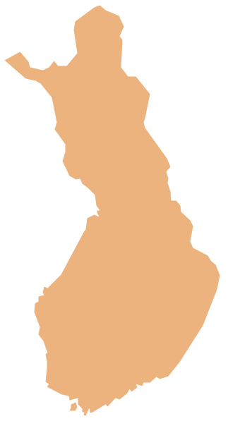
Picture: Geo Map — Europe — Finland
Related Solution:
West Virginia is a U.S. state located in the Appalachian region of the Southern United States.
The vector stencils library West Virginia contains contours for ConceptDraw DIAGRAM diagramming and vector drawing software. This library is contained in the Continent Maps solution from Maps area of ConceptDraw Solution Park.
Picture: Geo Map — USA — West Virginia
Related Solution:
The vector stencils library Russia contains contours for ConceptDraw DIAGRAM diagramming and vector drawing software. This library is contained in the Continent Maps solution from Maps area of ConceptDraw Solution Park.
Picture: Geo Map - Europe - Russia
Related Solution:
South Korea, officially the Republic of Korea, is a country in East Asia, constituting the southern part of the Korean Peninsula.
The vector stencils library South Korea contains contours for ConceptDraw DIAGRAM diagramming and vector drawing software. This library is contained in the Continent Maps solution from Maps area of ConceptDraw Solution Park.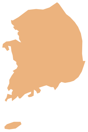
Picture: Geo Map - Asia - South Korea
Related Solution:
The vector stencils library France contains contours for ConceptDraw DIAGRAM diagramming and vector drawing software. This library is contained in the Continent Maps solution from Maps area of ConceptDraw Solution Park.
Picture: Geo Map — Europe — France
Related Solution:


