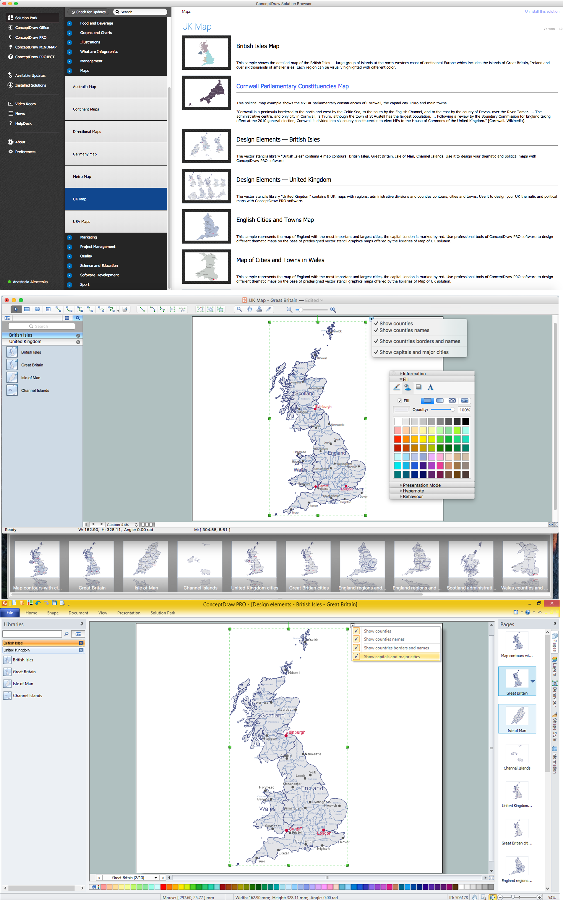
Geo Map - Europe - United Kingdom
Europe map contours - United Kingdom of Great Britain
"The United Kingdom of Great Britain and Northern Ireland, commonly known as the United Kingdom (UK) or Britain, is a sovereign state located off the north-western coast of continental Europe. The country includes the island of Great Britain (a term sometimes loosely applied to the whole state), the north-eastern part of the island of Ireland, and many smaller islands. Northern Ireland is the only part of the UK that shares a land border with another state: the Republic of Ireland. Apart from this land border, the UK is surrounded by the Atlantic Ocean, with the North Sea in the east, the English Channel in the south and the Irish Sea in the west."
The vector stencils library United Kingdom contains contours for ConceptDraw DIAGRAM diagramming and vector drawing software. This library is contained in the Continent Maps solution from Maps area of ConceptDraw Solution Park.

Pic. 1. Continent Maps Solution
Use the United Kingdom library to draw thematic maps, geospatial infographics and vector illustrations for your business documents, presentations and websites.
Geo Map - Europe - United Kingdom
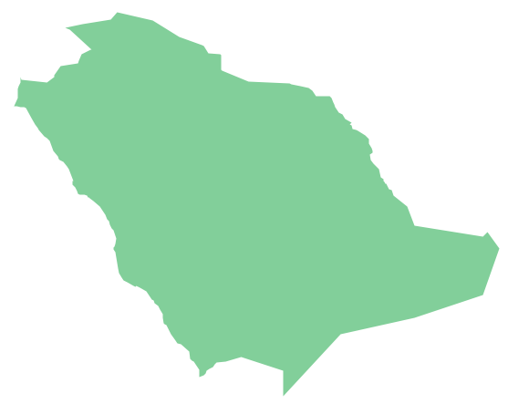
United Kingdom has a population of over 64.7 million and an area 242,495 km2(93,628 sq mi).

Pic. 2. United Kingdom
Geo Map - Europe - United Kingdom Contour
Capital - London

Pic. 3. United Kingdom Contour
Geo Map - Europe
Europe is a continent that comprises the westernmost part of Eurasia.

Pic. 4. Europe Map
Geo Map - Europe Contour
A contour map is a map illustrated with contour lines.

Pic. 5. Europe Contour
Geo Map - contours of Europe countries
Use the map contours library "Europe" to design thematic maps using the ConceptDraw DIAGRAM diagramming and vector drawing software.
The vector stencils library "Europe" contains 44 map contours: Europe political map, map contours of countries.

Pic. 6. Contours of Europe countries
All ConceptDraw DIAGRAM documents are vector graphic files and are available for reviewing, modifying, and converting to a variety of formats: image, HTML, PDF file, MS PowerPoint Presentation, Adobe Flash, MS Visio (.VDX, .VSDX).
See also Geo Maps of Europe Countries :
- Albania
- Austria
- Belarus
- Bulgaria
- Bosnia and Herzegovina
- Belgium
- Czech Republic
- Croatia
- Denmark
- Estonia
- France
- Finland
- Greece
- Germany
- Hungary
- Italy
- Ireland
- Iceland
- United Kingdom
- Latvia
- Luxembourg
- Lithuania
- Montenegro
- Macedonia
- Moldova
- Norway
- Netherlands
- Portugal
- Poland
- Russia
- Romania
- Switzerland
- Sweden
- Spain
- Slovenia
- Slovakia
- Serbia
- Ukraine


This sample shows the Workflow Diagram that clearly illustrates stages a BPM consists of and relations between all parts of business. The Workflow Diagrams are used to represent the transferring of data during the work process, to study and analysis the working processes, and to optimize a workflow.