Geo Map - Europe - Lithuania
Maps of Europe - Republic of Lithuania
"Lithuania, officially the Republic of Lithuania is a country in Northern Europe, the largest of the three Baltic states. It is situated along the southeastern shore of the Baltic Sea, to the east of Sweden and Denmark. It borders Latvia to the north, Belarus to the east and south, Poland to the south, and Kaliningrad Oblast (a Russian exclave) to the southwest. Lithuania has an estimated population of 3 million as of 2013, and its capital and largest city is Vilnius. The Lithuanians are a Baltic people, and the official language, Lithuanian, is one of only two living languages (together with Latvian) in the Baltic branch of the Indo-European language family."
The vector stencils library Lithuania contains contours for ConceptDraw DIAGRAM diagramming and vector drawing software. This library is contained in the Continent Maps solution from Maps area of ConceptDraw Solution Park.
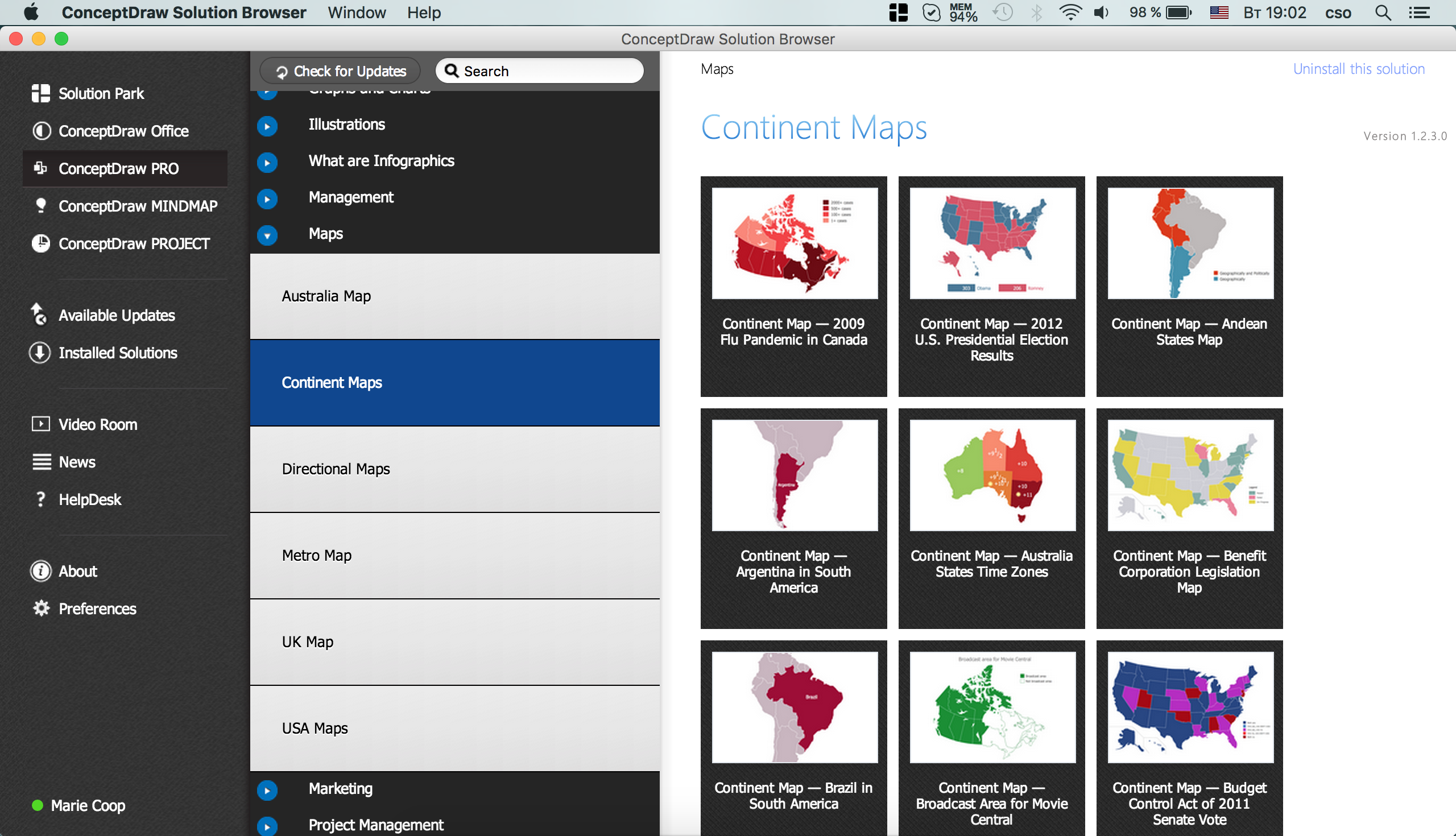
Use the Lithuania library to draw thematic maps, geospatial infographics and vector illustrations for your business documents, presentations and websites.
Geo Map - Europe - Republic of Lithuania
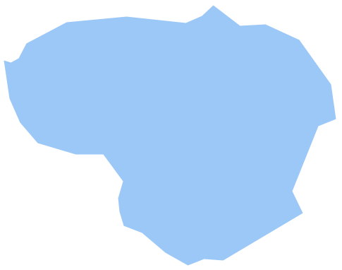
Geo Map - Europe - Lithuania Contour
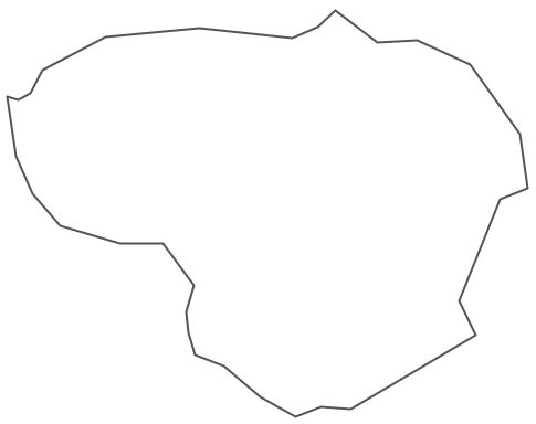
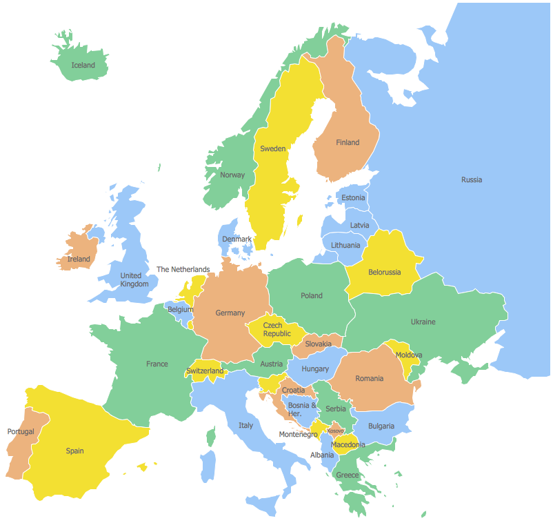
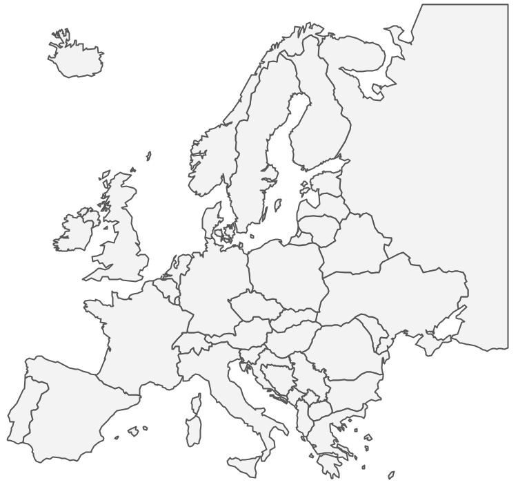
Geo Map - Europe
Geo Map - Europe Contour
Geo Map - contours of Europe countries
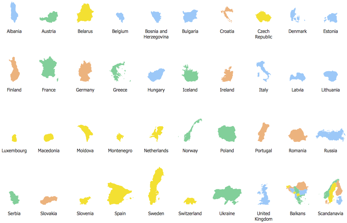
See also Geo Maps of Europe Countries :
- Albania
- Austria
- Belarus
- Bulgaria
- Bosnia and Herzegovina
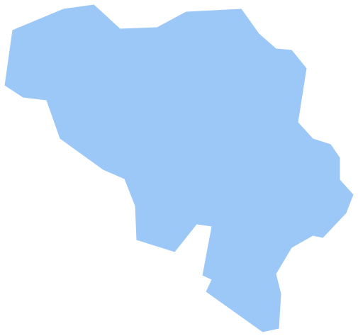
- Belgium
- Czech Republic
- Croatia
- Denmark
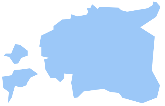
- Estonia
- France
- Finland
- Greece
- Germany
- Hungary
- Italy
- Ireland
- Iceland
- United Kingdom
- Latvia
- Luxembourg
- Lithuania
- Montenegro
- Macedonia
- Moldova
- Norway
- Netherlands
- Portugal
- Poland
- Russia
- Romania
- Switzerland
- Sweden
- Spain
- Slovenia
- Slovakia
- Serbia
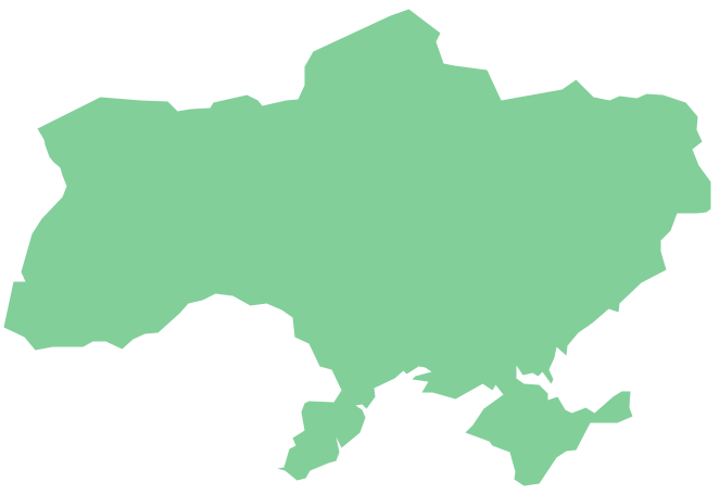
- Ukraine