Geo Map - Europe - Latvia
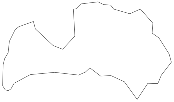
Maps of Europe - Republic of Latvia
"Latvia, officially the Republic of Latvia, is a country in the Baltic region of Northern Europe. It is bordered by Estonia, Lithuania, Russia, Belarus and by a maritime border to the west with Sweden. Latvia has 2,008,700 inhabitants and a territory of 64,589 km2 (24,938 sq mi). The country has a temperate seasonal climate."
The vector stencils library Latvia contains contours for ConceptDraw DIAGRAM diagramming and vector drawing software. This library is contained in the Continent Maps solution from Maps area of ConceptDraw Solution Park.
Use the Latvia library to draw thematic maps, geospatial infographics and vector illustrations for your business documents, presentations and websites.
Geo Map - Europe - Republic of Latvia
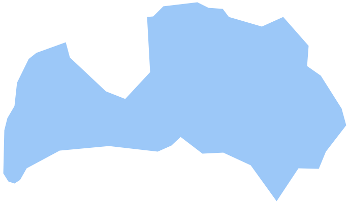
Geo Map - Europe - Latvia Contour
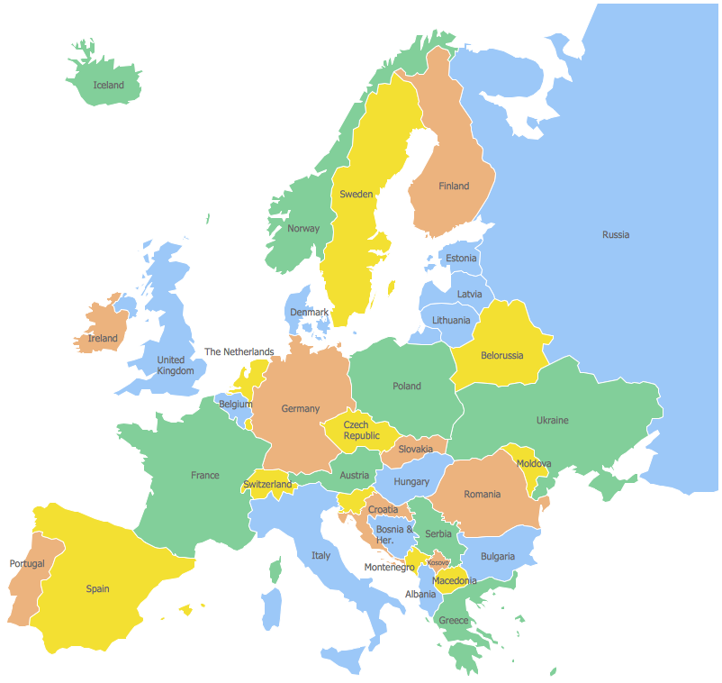
Geo Map - Europe
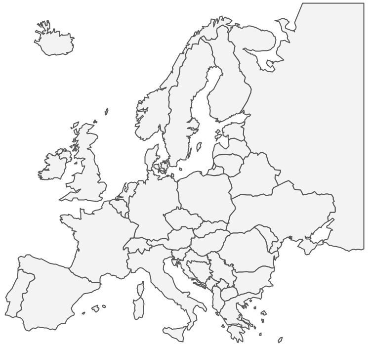
Geo Map - Europe Contour
Geo Map - contours of Europe countries
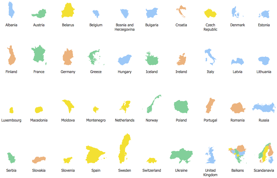
See also Geo Maps of Europe Countries :
- Albania
- Austria
- Belarus
- Bulgaria
- Bosnia and Herzegovina
- Belgium
- Czech Republic
- Croatia
- Denmark
- Estonia
- France
- Finland
- Greece
- Germany
- Hungary
- Italy
- Ireland
- Iceland
- United Kingdom
- Latvia
- Luxembourg
- Lithuania
- Montenegro
- Macedonia
- Moldova
- Norway
- Netherlands
- Portugal
- Poland
- Russia
- Romania
- Switzerland
- Sweden
- Spain
- Slovenia
- Slovakia
- Serbia
- Ukraine