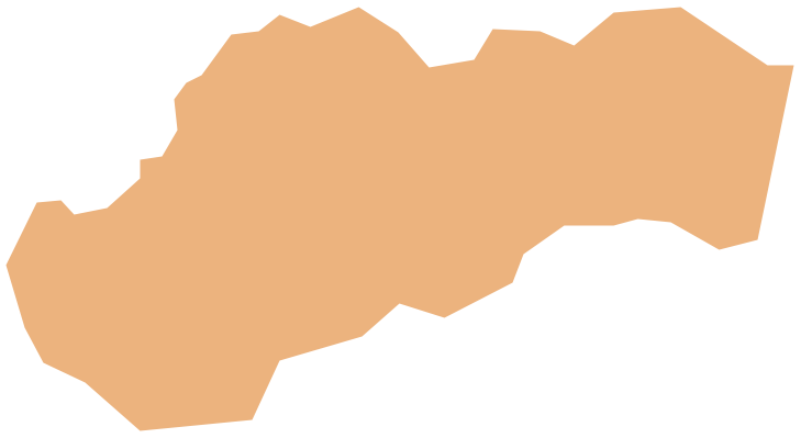
Geo Map - Europe - Slovakia
Europe map contours - Slovak Republic
"The Slovak Republic, is a landlocked state in Central Europe. It has a population of over five million and an area of about 49,000 square kilometres (19,000 sq mi). Slovakia is bordered by the Czech Republic and Austria to the west, Poland to the north, Ukraine to the east and Hungary to the south. The largest city is the capital, Bratislava, and the second largest is Košice. Slovakia is a member state of the European Union, NATO, United Nations, OECD and WTO among others. The official language is Slovak, a member of the Slavic language family."
The vector stencils library Slovakia contains contours for ConceptDraw DIAGRAM diagramming and vector drawing software. This library is contained in the Continent Maps solution from Maps area of ConceptDraw Solution Park.

Pic. 1. Continent Maps Solution
Use the Slovakia library to draw thematic maps, geospatial infographics and vector illustrations for your business documents, presentations and websites.
Geo Map - Europe - Slovak Republic
Slovakia has a population of over 5,4 million and an area 49,035 sq km(18,932 sq mi).
Pic. 2. Slovakia
Geo Map - Europe - Slovakia Contour
Capital - Bratislava

Pic. 3. Slovakia Contour
Geo Map - Europe
Europe is a continent that comprises the westernmost part of Eurasia.

Pic. 4. Europe Map
Geo Map - Europe Contour
A contour map is a map illustrated with contour lines.

Pic. 5. Europe Contour
Geo Map - contours of Europe countries
Use the map contours library "Europe" to design thematic maps using the ConceptDraw DIAGRAM diagramming and vector drawing software.
The vector stencils library "Europe" contains 44 map contours: Europe political map, map contours of countries.

Pic. 6. Сontours of Europe countries
All ConceptDraw DIAGRAM documents are vector graphic files and are available for reviewing, modifying, and converting to a variety of formats: image, HTML, PDF file, MS PowerPoint Presentation, Adobe Flash, MS Visio (.VDX, .VSDX).
See also Geo Maps of Europe Countries :
- Albania
- Austria
- Belarus
- Bulgaria
- Bosnia and Herzegovina
- Belgium
- Czech Republic
- Croatia
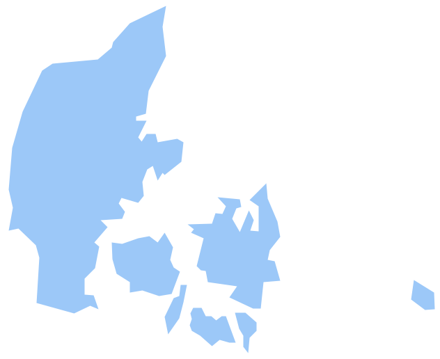
- Denmark
- Estonia
- France
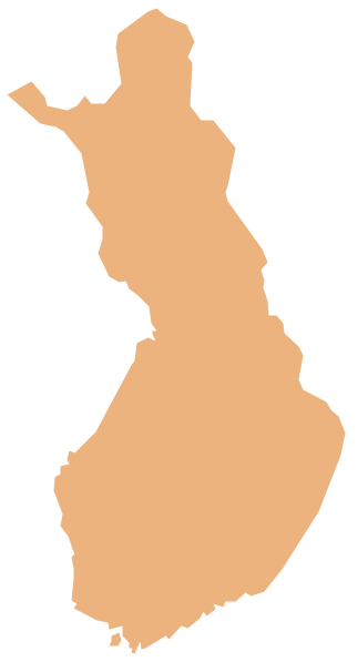
- Finland
- Greece
- Germany
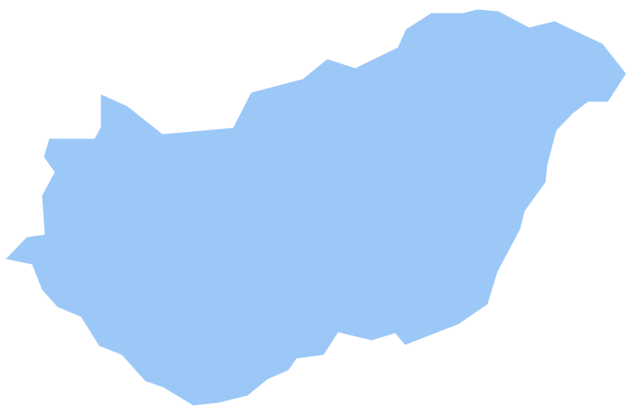
- Hungary
- Italy
- Ireland
- Iceland
- United Kingdom
- Latvia
- Luxembourg
- Lithuania
- Montenegro
- Macedonia
- Moldova
- Norway
- Netherlands
- Portugal
- Poland
- Russia
- Romania
- Switzerland
- Sweden
- Spain
- Slovenia
- Slovakia
- Serbia
- Ukraine