Geo Map - Canada - Saskatchewan
Maps of Canada - Saskatchewan
"Saskatchewan is a prairie province in Canada, which has a total area of 651,900 square kilometres (251,700 sq mi) and a land area of 592,534 square kilometres (228,800 sq mi), the remainder being water area (covered by lakes/ponds, reservoirs and rivers). Saskatchewan is bordered on the west by the Province of Alberta, on the north by the Northwest Territories, on the east by Manitoba, and on the south by the U.S. states of Montana and North Dakota. As of December 2013, the population of Saskatchewan was estimated at 1,114,170. Residents primarily live in the southern half of the province. Of the total population, 257,300 live in the province's largest city, Saskatoon, while 210,000 live in the provincial capital, Regina. Other major cities include Prince Albert, Moose Jaw, Yorkton, Swift Current and North Battleford." [Saskatchewan. Wikipedia]
The vector stencils library Saskatchewan contains contours for ConceptDraw DIAGRAM diagramming and vector drawing software. This library is contained in the Continent Maps solution from Maps area of ConceptDraw Solution Park.

Use the Saskatchewan library to draw thematic maps, geospatial infographics and vector illustrations for your business documents, presentations and websites.
Geo Map - Canada - Saskatchewan

Geo Map - Canada - Saskatchewan Contour

Geo Map - Canada

Geo Map - Canada Contour

Geo Map - provinces and territories

See also Geo Maps of Canada
provinces and territories:
FIVE RELATED HOW TO's:
Yukon is the westernmost and smallest of Canada's three federal territories. Whitehorse is the territorial capital.
The vector stencils library Yukon contains contours for ConceptDraw DIAGRAM diagramming and vector drawing software. This library is contained in the Continent Maps solution from Maps area of ConceptDraw Solution Park.
Picture: Geo Map - Canada - Yukon
Related Solution:
Washington is a state in the Pacific Northwest region of the United States located north of Oregon, west of Idaho, and south of the Canadian province of British Columbia on the coast of the Pacific Ocean.
The vector stencils library Washington contains contours for ConceptDraw DIAGRAM diagramming and vector drawing software. This library is contained in the Continent Maps solution from Maps area of ConceptDraw Solution Park.
Picture: Geo Map — USA — Washington
Related Solution:
Nevada is a state in the western, mountain west, and southwestern regions of the United States.
The vector stencils library Nevada contains contours for ConceptDraw DIAGRAM diagramming and vector drawing software. This library is contained in the Continent Maps solution from Maps area of ConceptDraw Solution Park.
Picture: Geo Map — USA — Nevada
Related Solution:
Cameroon, officially the Republic of Cameroon, is a country in the west Central Africa region.
The vector stencils library Cameroon contains contours for ConceptDraw DIAGRAM diagramming and vector drawing software. This library is contained in the Continent Maps solution from Maps area of ConceptDraw Solution Park.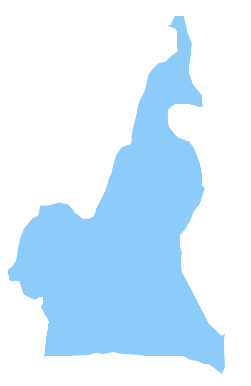
Picture: Geo Map - Africa - Cameroon
Related Solution:
Ontario is one of the ten provinces of Canada, located in east-central Canada.
The vector stencils library Ontario contains contours for ConceptDraw DIAGRAM diagramming and vector drawing software. This library is contained in the Continent Maps solution from Maps area of ConceptDraw Solution Park.
Picture: Geo Map - Canada - Ontario
Related Solution:


