Geo Map — USA — Mississippi
Maps of USA — State of Mississippi
Mississippi is known to be one of the United States of America, located the southern part of the country. Its southern border formed by the Gulf of Mexico and its western border is formed by the Mississippi River. There are about 3 million people living in Mississippi, which makes this state to take the 32nd place for being one of the most extensive as well as populous one among all of the other states of America. This state’s capital is located in the very centre of Mississippi and it is, nowadays, a city named Jackson. Apart from it being a capital, it is also the largest city of this state, having about 175000 people inhabiting it.
The state is very well forested, located in the area between the Yazoo and the Mississippi rivers. Most of the land, though, is now held by agribusinesses, being dominated by the industrial farms. Mississippi is ranked very low among the states due to its health medical care, educational attainment and the median household income. The state's so-called “catfish aquaculture farms” produce most of the farm-raised catfish, being consumed all over the United States of America.
Since the 1930s, this state has been inhabited by, mainly, the white people, although the percentage of the black residents was still the highest in the USA. Up to the 1930s, its residents were mostly black, being basically those of the African slaves. In the 20th century, about 400000 rural blacks left the state for the new opportunities in both the northern and mid-western cities. By 2010, already 37% of Mississippians were African Americans, which was the highest percentage of African Americans among all of the U.S. states. Since 2011, Mississippi has also been ranked as the most religious state in the United States of America.
This state is bordered on the east by Alabama, on the north by Tennessee, on the west by Arkansas and Louisiana and on the south by Louisiana. The main rivers of Mississippi are the Pearl River, the Big Black River, the Pascagoula, the Tombigbee and the Yazoo one. The lakes are Arkabutla one, the Ross Barnett Reservoir and the Grenada, and the largest of all is Sardis Lake. This state is composed of so-called “lowlands”, having the highest point — the Woodall Mountain, which top is 246 metres above the sea level. The lowest point is a sea level at the Gulf coast and the state's mean elevation is only 91 metres above sea level.
Most of the state is a part of the “East Gulf Coastal Plain”, composed of low hills, for example the North Central and the Pine Hills in the south. The north-eastern region is rich in the fertile black earth, which extends into the “Alabama Black Belt”. The coastline of Mississippi includes the large bays at Pascagoula, Bay St. Louis and Biloxi. Separated from the Gulf of Mexico by the shallow, there is a Mississippi Sound, being partially sheltered by Horn Island, Petit Bois one, East and West Ship Islands, Round one, Cat one as well as the Deer islands.
There are numerous areas under the management of the National Park Service, which include the Natchez Trace National Scenic Trail in Tupelo, the Natchez National Historical Park in Natchez, the Gulf Islands National Seashore, the Brices Cross National Battlefield Site, as well as the Natchez Trace Parkway, the Natchez Tupelo National Battlefield in Tupelo, the cemetery in Vicksburg and the Vicksburg National Military Park.
The major cities and towns of Mississippi state include Jackson, which is the capital, as it was mentioned before, Gulfport, Southaven where about 49000 people living, Hattiesburg (about 46000), Biloxi, Vicksburg, Meridian, Tupelo, Greenville, Olive Branch, Horn Lake, Clinton, Pearl, Madison, Ridgeland, Starkville, Columbus, Pascagoula, Brandon and other, including Oxford, Gautier, Laurel, Clarksdale, Ocean Springs, Natchez, Greenwood, Long Beach, Corinth, Hernando, Moss Point, Canton, Grenada, McComb, Brookhaven, Cleveland, Byram, Yazoo City, West Point, Picayune, Indianola and Petal.
The centre of population of the state is located in Leake County, which is the town of Lena. There are about 2992333 people living in Mississippi, being economically characterized as the state with losing its population, but the existing one is young. There was a binary racial system in place since the slavery times in this state, as well as the days of racial segregation. Today, African Americans comprise approximately 37% of the state is Mississippi population. About 400000 African Americans left the state during the so-called “Great Migration”, taking the new opportunities in the North, Midwest and West of the country during the first half of the 20th century. Thus, they became a minority in the state of Mississippi for the first time since its early development.
Nowadays, there are about 59% White Americans in this state, most of them are non-Hispanic white and the rest — White Hispanic. 37% of the total population is African Americans or Black, half a present are American Indian as well as Alaska Native people. A little bit less than 1% of Asian Americans and a little bit more than 1% of Multiracial ones. There is only 1,4% of the representatives of the other nations living in Mississippi.
Americans of Scottish, English and Scots-Irish ancestry live all over the state, being the most under-reported ancestry groups in both the East South Central States as well as the South Atlantic States. The are believed to be a minimum 20% of English Ancestry in Mississippi. Many of the native Mississippians identify themselves simply as American on questionnaires, for a reason of their families having been in North America for centuries. In 1980 656371 out of 1946775 of Mississippians identified themselves as being of English ancestry, making 38% inhabitants of the state at that time.
Mentioning all of the people of the different nations on your own map of this state, you can add any other information, as well to colour the map while editing the existing templates, which all can be found in the appropriate solution from ConceptDraw STORE. The solution named as the “Continent Maps” one can be found in the “Maps area” of the “ConceptDraw Solution Park” on this site as well as in ConceptDraw STORE software, which is available for any of the ConceptDraw DIAGRAM users. The vector stencils library “Mississippi” is contained in this solution, including the contours of the state, which all can be used while working in the ConceptDraw DIAGRAM diagramming and vector drawing software creating your great looking maps.
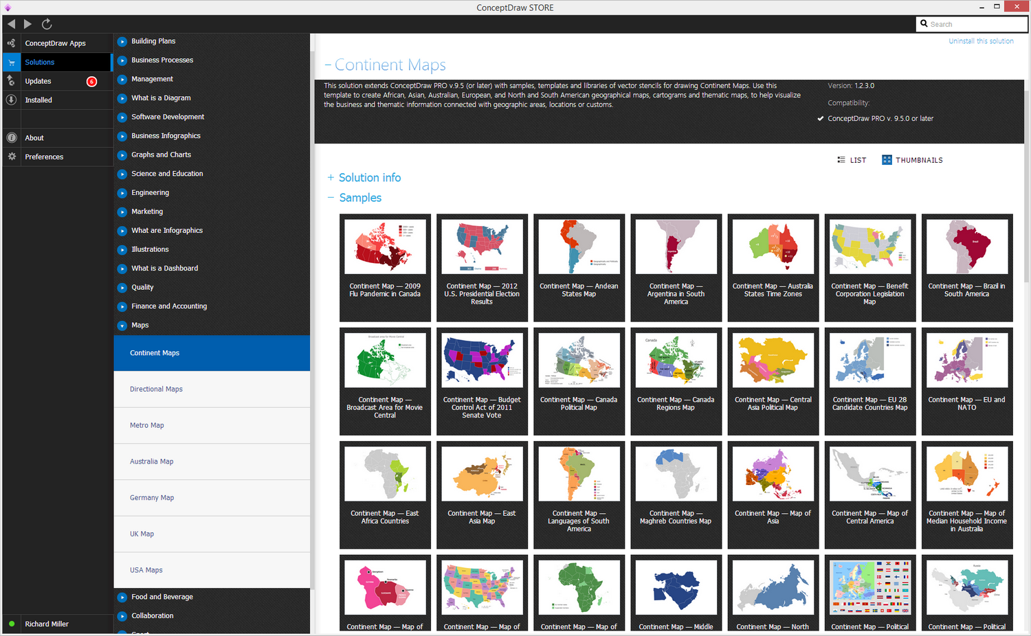
Pic. 1. Geo Map solution
Use the Mississippi library to draw thematic maps, geospatial infographics and vector illustrations for your business documents, presentations and websites.
Geo Map — USA — State of Mississippi
Area 48,430 sq mi (125,443 km2); Width 170 miles (275 km); Length 340 miles (545 km).
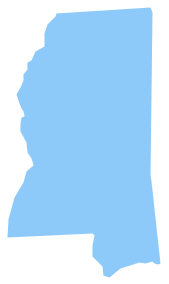
Pic. 2. USA — State of Mississippi
Geo Map — USA — Mississippi Contour
Capital — Jackson.
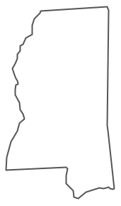
Pic. 3. USA — Mississippi Contour
Geo Map — USA
The United States of America, is a federal republic composed of 50 states, a federal district, five major territories.
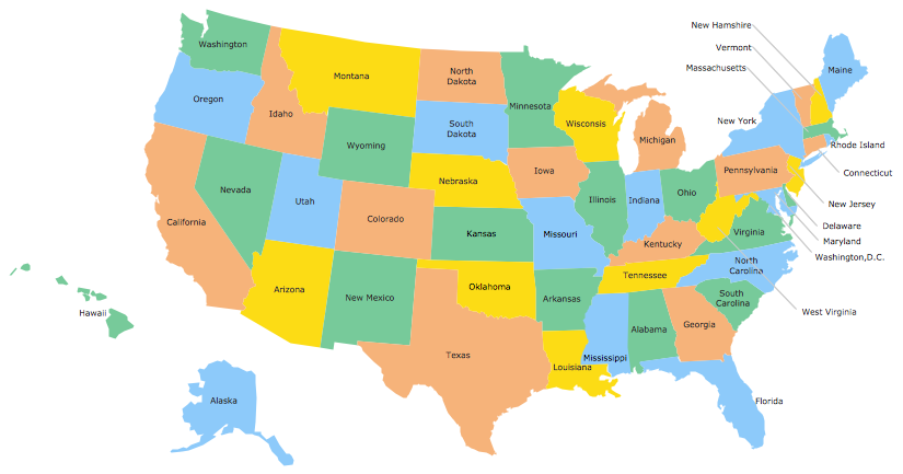
Pic. 4. USA Map
Geo Map — USA Contour
A contour map is a map illustrated with contour lines.
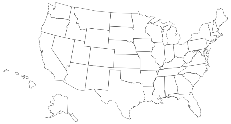
Pic. 5. USA Contour
Geo Map — Contours of Territories of the United States
Use the map contours library "United States of America" to design thematic maps using the ConceptDraw DIAGRAM diagramming and vector drawing software.
The vector stencils library "United States of America" contains 53 map contours: US political map, map contours of states.
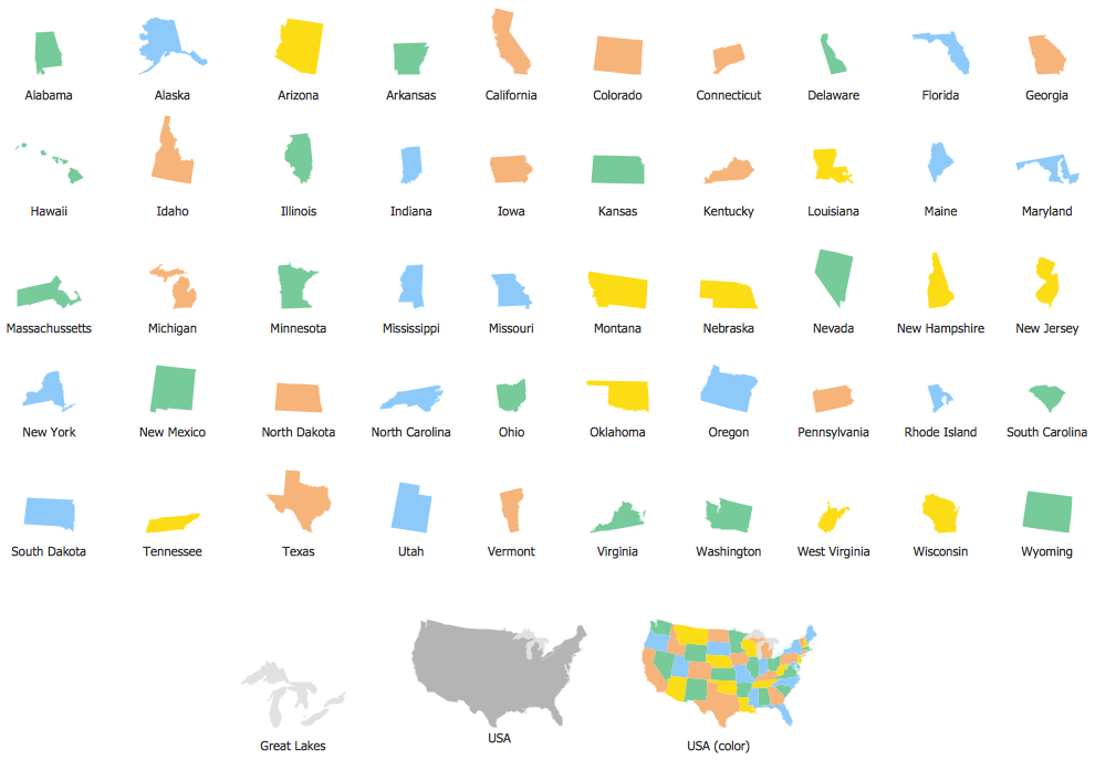
Pic. 6. Contours of Territories of the United States
Geo Map — Ranks US States by Peacefulness
This example is created using ConceptDraw DIAGRAM diagramming software enhanced with Continent Maps solution from ConceptDraw Solution Park.
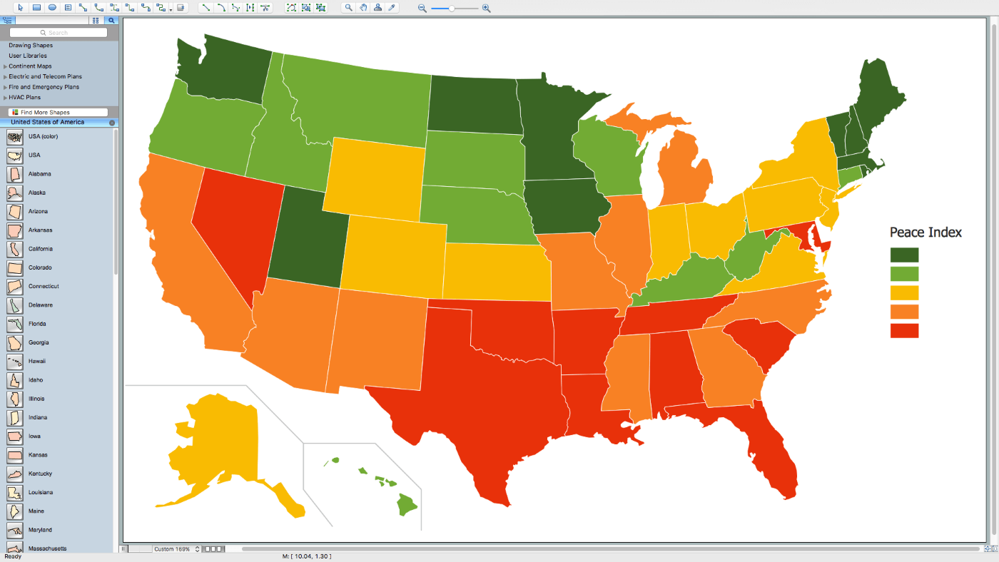
Pic. 7. Ranks US States by Peacefulness
All ConceptDraw DIAGRAM documents are vector graphic files and are available for reviewing, modifying, and converting to a variety of formats: image, HTML, PDF file, MS PowerPoint Presentation, Adobe Flash, MS Visio (.VDX, .VSDX).
See Also Territories of the United States Geo Maps :
- Alabama
- Alaska
- Arizona
- Arkansas
- California
- Colorado
- Connecticut
- Delaware
- Florida
- Georgia
- Hawaii
- Idaho
- Illinois
- Indiana
- Iowa
- Kansas
- Kentucky
- Louisiana
- Maine
- Maryland
- Massachusetts
- Mexico
- Michigan
- Minnesota
- Mississippi
- Missouri
- Montana
- Nebraska
- Nevada
- New Hampshire
- New Jersey
- New Mexico
- New York
- North Carolina
- North Dakota
- Ohio
- Oklahoma
- Oregon
- Pennsylvania
- Tennesse
- Utah
- Vermont
- Virginia
- Washington
- West Virginia
- Wisconsin
- Wyoming
- United States