Geo Map - South America - Mexico
Maps of South America — United Mexican States
South America is a continent, which is located mostly in the southern hemisphere and it is also known as a subcontinent of the Americas. This continent is bordered on the north and east by the Atlantic Ocean and on the west by the Pacific Ocean, and the Caribbean Sea and North America lie to the northwest from it. South America includes twelve sovereign states, which are Argentine, Bolivia, Brazil, Chile, Colombia, Ecuador, Guyana, Paraguay, Peru, Suriname, Venezuela and Uruguay. A part of France, which is a French Guiana is also in South America as well as a non-sovereign area, including a British Overseas territory and the Falkland Islands. A part of South America are also the ABC islands, Trinidad and Tobago as well as Panama. South America extends on the area of 17840000 square kilometres or 6 890 000 square miles.
The South America population is more than 371090000 people. South America is on the forth place in the world after Asia, Africa and North America due to the size of its area and it is on the fifth place due to its population, after Asia, Africa, Europe and North America. Nowadays Brazil is the most populous South American country. There are more than half of the continent's people live there, followed by Colombia, Venezuela, Argentina and Peru. Most of the population of the South America continent live near its western or eastern coasts. Although the interior and the far south are sparsely populated. The Andes Mountains prevail in the geography of western South America. The eastern part contains both highland regions and large lowlands, where the rivers (e.g., Amazon, Parana flow and Orinoco) are.
As it was mentioned above, South America also includes some of the nearby islands, such as Aruba, Bonaire, Curacao, Trinidad, Tobago and the federal dependencies of Venezuela. Generally and geo-politically the overseas territories of the Caribbean and the island states are grouped as a part or subregion of North America. Other islands which are the part of South America are the Galapagos Islands, and they belong to Ecuador and Easter Island Robinson Crusoe Island, Chiloe and Tierra del Fuego. In the Atlantic region, Brazil owns Fernando de Noronha, Trindade and Martin Vaz as well as the Saint Peter and Saint Paul Archipelago. The Falkland Islands, though, are governed by the United Kingdom of Great Britain. The South Sandwich Islands and South Georgia are also known as part of South America or, sometimes, they are mentioned as the part of Antarctica.
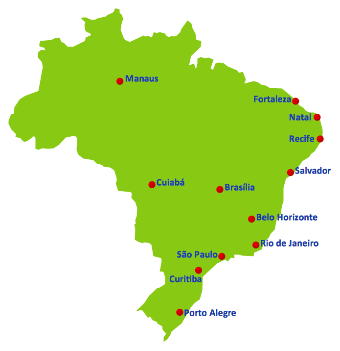
One of the federal republics in North America is Mexico, or officially known as the United Mexican States. Mexico is bordered on the southeast by Belize, Guatemala and the Caribbean Sea, on the north by the United States, on the south and west by the Pacific Ocean and on the east by the Gulf of Mexico. Mexico covers almost two million square kilometres (which is over 760000 square miles), and it is the fifth largest country in the Americas taking into consideration its total area. It is also on the 13th place among the largest independent nations in the world. With an estimated population of over 113 million, Mexico is the eleventh most populous country in the world. It is the second most populous country in Latin America and the most populous of all Spanish-speaking countries. Mexico has its the capital city named the same as the country – “Mexico”.
In case you want to create a geo map of South America, or its particular region, for including the particular country, such as Mexico with description of its landscape, such as its mountains, rivers, waterfalls, etc., then you can always make such map yourself, using only the appropriate software for making your drawings with the help of it. Having ConceptDraw DIAGRAM application means having a chance to create a great looking and exact and accurate map of any continent you need, including the South America and Mexico in particular.
If you download ConceptDraw DIAGRAM and ConceptDraw STORE, which is another application, which can be used for working in ConceptDraw DIAGRAM then you will have a chance to download any solution needed, including the Continent Maps solution, with its aid you can make any map of any part of South America as well as the whole continent itself. You can also find this solution on this site in the Maps area of ConceptDraw Solution Park.
The Continent Maps solution includes the vector design elements library “South America”, which contains the pre-made South America countries map contours for using in ConceptDraw DIAGRAM diagramming and vector drawing software while creating your geo maps of the South America countries. There is also a vector stencils library called “Mexico”, which contains the contours for using while working in ConceptDraw DIAGRAM diagramming and vector drawing software creating your own great looking and professional maps.
There are all together 29 map contours available in the Continent Maps solution: South America political map, Central America political map, state map contours of South American countries, etc., and it’s always better to have already previously created samples and templates, including the contours of the different countries, developed by the IT professionals, including web designers of CS Odessa, rather than to try to make your own maps from a scratch. In the Continent Maps solution you can also find the flags of the South America countries and you can always change their size and edit them the way you want. Illustrating the regions where some particular language is more popular than in the other can be also done in a way of a map and CS Odessa team provides the ConceptDraw DIAGRAM users with this opportunity to use the pre-designed maps of languages of South America continent.
Download ConceptDraw DIAGRAM drawing software today to create the good and professionally looking maps, charts, flowcharts, diagrams, schemes, maps and other schematics. And once you need to draw the contours of the Northern-American country, which is Mexico, then you can always download a Continent Maps solution and use its “Mexico” library for drawing your own thematic maps, geospatial infographics and vector illustrations in order to use all of them for developing your business by including these maps in your documents, presentations as well as placing them on your websites.

Pic. 1. Continent Maps Solution
Use the Mexico library to draw thematic maps, geospatial infographics and vector illustrations for your business documents, presentations and websites.
Geo Map — South America — United Mexican States
United Mexican States has a population of over 119,5 million and an area 1,972,550 sq km(761,606 sq mi).

Pic. 2. Mexico
Geo Map — South America — Mexico Contour
Capital — Mexico City.

Pic. 3. Mexico Contour
Geo Map — South America
South America includes 27 states.

Pic. 4. South America Map
Geo Map — South America Contour
A contour map is a map illustrated with contour lines.

Pic. 5. South America Contour
Geo Map — contours of South America countries
Use the map contours library "South America" to design thematic maps of South American countries using the ConceptDraw DIAGRAM diagramming and vector drawing software.
The vector stencils library "South America" contains 29 map contours: South America political map, Central America political map, state map contours of South American countries.

Pic. 6. Contours of South America countries
All ConceptDraw DIAGRAM documents are vector graphic files and are available for reviewing, modifying, and converting to a variety of formats: image, HTML, PDF file, MS PowerPoint Presentation, Adobe Flash, MS Visio (.VDX, .VSDX).
See also Geo Maps of South America Countries :