
Pic. 2. Paraguay
Geo Map — South America — Paraguay Contour
Capital - Asuncion.

Pic. 3. Paraguay Contour
Geo Map — South America
South America is a continent located in the Western Hemisphere, mostly in the Southern Hemisphere, with a relatively small portion in the Northern Hemisphere. It is also considered as a subcontinent of the Americas, which is the model used in Spanish-speaking nations and most of South America.
List of South American countries:
- Argentina
- Belize
- Bolivia
- Brazil
- Chile
- Colombia
- Costa Rica
- Cuba
- Dominican Republic
- Ecuador
- El Salvador
- French Guiana
- Guatemala
- Guyana
- Haiti
- Honduras
- Jamaica
- Mexico
- Nicaragua
- Panama
- Paraguay
- Peru
- Puerto Rico
- Suriname
- Trinidad and Tobago
- Uruguay
- Venezuela

Pic. 4. South America Map
Geo Map — South America Contour
A contour map is a map illustrated with contour lines.

Pic. 5. South America Contour
Geo Map — Contours of South America Countries
Use the map contours library "South America" to design thematic maps of South American countries using the ConceptDraw DIAGRAM diagramming and vector drawing software.
The vector stencils library "South America" contains 29 map contours: South America political map, Central America political map, state map contours of South American countries.

Pic. 6. Contours of South America countries
All ConceptDraw DIAGRAM documents are vector graphic files and are available for reviewing, modifying, and converting to a variety of formats: image, HTML, PDF file, MS PowerPoint Presentation, Adobe Flash, MS Visio (.VDX, .VSDX).
See also Geo Maps of South America Countries :
NINE RELATED HOW TO's:
French Guiana, officially just Guiana, is an overseas department and region of France on the north Atlantic coast of South America.
The vector stencils library French Guiana contains contours for ConceptDraw DIAGRAM diagramming and vector drawing software. This library is contained in the Continent Maps solution from Maps area of ConceptDraw Solution Park.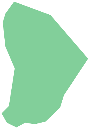
Picture: Geo Map - South America - French Guiana
Related Solution:
El Salvador, literally Republic of The Savior, is the smallest and the most densely populated country in Central America.
The vector stencils library El Salvador contains contours for ConceptDraw DIAGRAM diagramming and vector drawing software. This library is contained in the Continent Maps solution from Maps area of ConceptDraw Solution Park.
Picture: Geo Map - South America - El Salvador
Related Solution:
Venezuela, officially called the Bolivarian Republic of Venezuela, is a country on the northern coast of South America.
The vector stencils library Venezuela contains contours for ConceptDraw DIAGRAM diagramming and vector drawing software. This library is contained in the Continent Maps solution from Maps area of ConceptDraw Solution Park.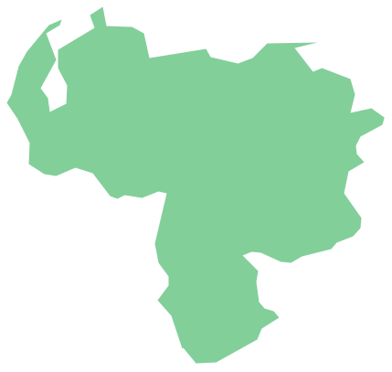
Picture: Geo Map - South America - Venezuela
Related Solution:
Florida is a state in the southeastern region of the United States, bordered to the west by the Gulf of Mexico, to the north by Alabama and Georgia, to the east by the Atlantic Ocean, and to the south by the Straits of Florida.
The vector stencils library Florida contains contours for ConceptDraw DIAGRAM diagramming and vector drawing software. This library is contained in the Continent Maps solution from Maps area of ConceptDraw Solution Park.
Picture: Geo Map — USA — Florida
Related Solution:
Mississippi is a U.S. state located in the Southern United States.
The vector stencils library Mississippi contains contours for ConceptDraw DIAGRAM diagramming and vector drawing software. This library is contained in the Continent Maps solution from Maps area of ConceptDraw Solution Park.
Picture: Geo Map — USA — Mississippi
Related Solution:
Puerto Rico, officially the Commonwealth of Puerto Rico, is an unincorporated territory of the United States, located in the northeastern Caribbean east of the Dominican Republic and west of both the United States Virgin Islands and the British Virgin Islands.
The vector stencils library Puerto Rico contains contours for ConceptDraw DIAGRAM diagramming and vector drawing software. This library is contained in the Continent Maps solution from Maps area of ConceptDraw Solution Park.
Picture: Geo Map - South America - Puerto Rico
Related Solution:
Cuba, officially the Republic of Cuba, is an island country in the Caribbean.
The vector stencils library Cuba contains contours for ConceptDraw DIAGRAM diagramming and vector drawing software. This library is contained in the Continent Maps solution from Maps area of ConceptDraw Solution Park.
Picture: Geo Map - South America - Cuba
Related Solution:
Washington is a state in the Pacific Northwest region of the United States located north of Oregon, west of Idaho, and south of the Canadian province of British Columbia on the coast of the Pacific Ocean.
The vector stencils library Washington contains contours for ConceptDraw DIAGRAM diagramming and vector drawing software. This library is contained in the Continent Maps solution from Maps area of ConceptDraw Solution Park.
Picture: Geo Map — USA — Washington
Related Solution:
California is a state located on the West Coast of the United States.
The vector stencils library California contains contours for ConceptDraw DIAGRAM diagramming and vector drawing software. This library is contained in the Continent Maps solution from Maps area of ConceptDraw Solution Park.
Picture: Geo Map — USA — California
Related Solution:


