Geo Map — South America — Argentina
Maps of South America — Argentine Republic
"Argentina, officially the Argentine Republic, is a federal republic located in southeastern South America. Covering most of the Southern Cone, it is bordered by Bolivia and Paraguay to the north, Brazil to the northeast, Uruguay and the Atlantic Ocean to the east, Chile to the west and the Drake Passage to the south." [Argentina. Wikipedia]
The vector stencils library Argentina contains contours for ConceptDraw DIAGRAM diagramming and vector drawing software. This library is contained in the Continent Maps solution from Maps area of ConceptDraw Solution Park.

Use the Argentina library to draw thematic maps, geospatial infographics and vector illustrations for your business documents, presentations and websites.
Geo Map — South America — Argentine Republic
This geographic map highlights Argentina within South America, showing its position, borders, and regional context.
Geo Map — South America — Argentina Contour
The contour map of Argentina provides a simplified geographic outline, useful for presentations, diagrams, and visual materials.

Geo Map — South America
In addition to geographic maps, ConceptDraw solutions support process visualization, including flowcharts, workflow diagrams, and business process modeling.

Geo Map — South America Contour

Geo Map — contours of South America countries
Explore the contours of South America countries below, or switch to flowcharts to visualize workflows, decision paths, and process structures.

Need to visualize a workflow instead of a geographic region? Explore flowchart symbols or use ConceptDraw flowchart software to create process diagrams.
See also Geo Maps of South America Countries :
FIVE RELATED HOW TO's:
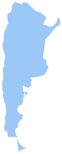
Nunavut is the largest, northernmost and newest territory of Canada.
The vector stencils library Nunavut contains contours for ConceptDraw DIAGRAM diagramming and vector drawing software. This library is contained in the Continent Maps solution from Maps area of ConceptDraw Solution Park.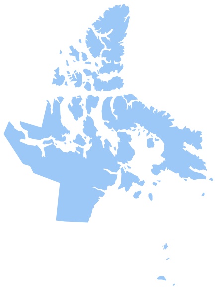
Picture: Geo Map - Canada - Nunavut
Related Solution:
Costa Rica, officially the Republic of Costa Rica, is a country in Central America, bordered by Nicaragua to the north, Panama to the southeast, the Pacific Ocean to the west, and the Caribbean Sea to the east.
The vector stencils library Costa Rica contains contours for ConceptDraw DIAGRAM diagramming and vector drawing software. This library is contained in the Continent Maps solution from Maps area of ConceptDraw Solution Park.
Picture: Geo Map - South America - Costa Rica
Related Solution:
Design versatile maps based on the South America continent map effortlessly. 🔸 Create stunning and detailed South America maps and use them in ✔️ presentations, ✔️ educational materials, ✔️ websites, ✔️ business documents
Picture: Geo Map — South America Continent
Related Solution:
Brazi, officially the Federative Republic of Brazil, is the largest country in both South America and the Latin American region.
The vector stencils library Brazil contains contours for ConceptDraw DIAGRAM diagramming and vector drawing software. This library is contained in the Continent Maps solution from Maps area of ConceptDraw Solution Park.
Picture: Geo Map - South America - Brazil
Related Solution:
Design illustrative maps and explore the geographic diversity of American continents. Create detailed maps of North America, South America, Central America, USA, and thematic maps based on them for presentations, websites, social media, reports, marketing materials, educational materials, business documents
Picture: Geo Map of Americas
Related Solution:


