Geo Map - South America - Trinidad and Tobago
Maps of South America - Republic of Trinidad and Tobago
"Trinidad and Tobago, officially the Republic of Trinidad and Tobago, is an island country off the northern edge of South America, lying just off the coast of northeastern Venezuela and south of Grenada in the Lesser Antilles. Usually considered part of the Caribbean, it shares maritime boundaries with other nations including Barbados to the northeast, Grenada to the northwest, Guyana to the southeast, and Venezuela to the south and west." [Trinidad and Tobago. Wikipedia]
The vector stencils library Trinidad and Tobago contains contours for ConceptDraw DIAGRAM diagramming and vector drawing software. This library is contained in the Continent Maps solution from Maps area of ConceptDraw Solution Park.
Use the Trinidad and Tobago library to draw thematic maps, geospatial infographics and vector illustrations for your business documents, presentations and websites.
Geo Map - South America - Republic of Trinidad and Tobago

Geo Map - South America - Trinidad and Tobago Contour

Geo Map - South America

Geo Map - South America Contour

Geo Map - contours of South America countries

See also Geo Maps of South America Countries :
THREE RELATED HOW TO's:
Jamaica is an island country situated in the Caribbean Sea, comprising the third-largest island of the Greater Antilles.
The vector stencils library Jamaica contains contours for ConceptDraw DIAGRAM diagramming and vector drawing software. This library is contained in the Continent Maps solution from Maps area of ConceptDraw Solution Park.
Picture: Geo Map - South America - Jamaica
Related Solution:
Ecuador, officially the Republic of Ecuador, which literally translates as Republic of the Equator is a representative democratic republic in South America, bordered by Colombia on the north, Peru on the east and south, and the Pacific Ocean to the west.
The vector stencils library Ecuador contains contours for ConceptDraw DIAGRAM diagramming and vector drawing software. This library is contained in the Continent Maps solution from Maps area of ConceptDraw Solution Park.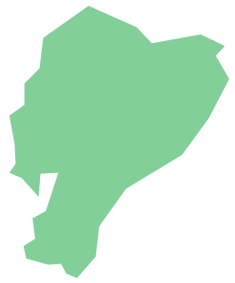
Picture: Geo Map - South America - Ecuador
Related Solution:
French Guiana, officially just Guiana, is an overseas department and region of France on the north Atlantic coast of South America.
The vector stencils library French Guiana contains contours for ConceptDraw DIAGRAM diagramming and vector drawing software. This library is contained in the Continent Maps solution from Maps area of ConceptDraw Solution Park.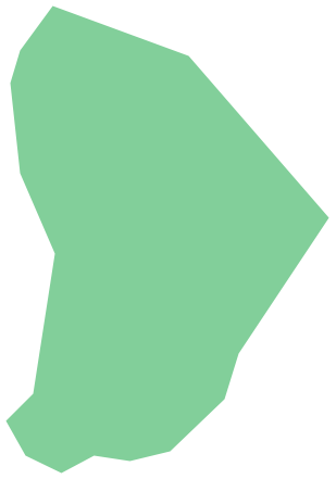
Picture: Geo Map - South America - French Guiana
Related Solution:


