Made with
ConceptDraw
DIAGRAM 16

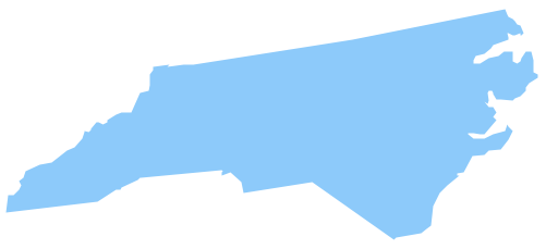
Geo Map - USA - North Carolina

Maps of USA - State of North Carolina

"North Carolina is a state in Southeastern United States. The state borders South Carolina and Georgia to the south, Tennessee to the west, Virginia to the north, and the Atlantic Ocean to the east. North Carolina is the 28th most extensive and the 10th most populous of the 50 United States. North Carolina is known as the Tar Heel State and the Old North State." [North Carolina. Wikipedia]

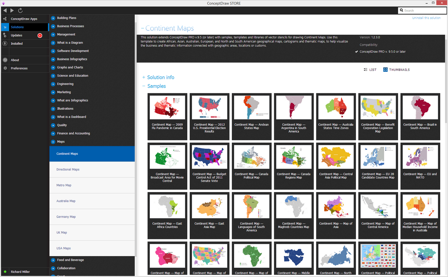
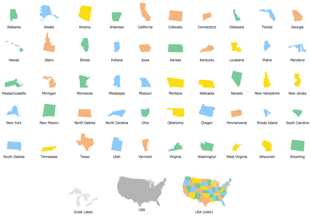
The vector stencils library North Carolina contains contours for ConceptDraw DIAGRAM diagramming and vector drawing software. This library is contained in the Continent Maps solution from Maps area of ConceptDraw Solution Park.

Geo Map Solution

Use the North Carolina library to draw thematic maps, geospatial infographics and vector illustrations for your business documents, presentations and websites.


Geo Map - USA - State of North Carolina

Geo Map - USA - North Carolina *

Geo Map - USA - North Carolina Contour

Geo Map - USA - North Carolina Contour


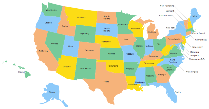
Geo Map - USA

Geo Map - USA


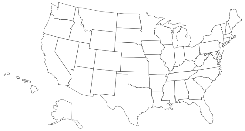
Geo Map - USA Contour

Geo Map - USA Contour


Geo Map - contours of Territories of the United States

Geo Map - contours of Territories of the United States


See Also Territories of the United States Geo Maps :


FIVE RELATED HOW TO's:

Geo Map - Asia - Turkey →

Turkey, officially the Republic of Turkey, is a contiguous transcontinental country, located mostly on Anatolia in Western Asia, and on East Thrace in Southeastern Europe. The vector stencils library Turkey contains contours for ConceptDraw DIAGRAM diagramming and vector drawing software. This library is contained in the Continent Maps solution from Maps area of ConceptDraw Solution Park.Geo Map - Asia - Turkey *
Picture: Geo Map - Asia - Turkey
Related Solution:

Geo Map - USA - Tennesse →

Tennessee is a U.S. state located in the Southeastern United States. The vector stencils library Tennesse contains contours for ConceptDraw DIAGRAM diagramming and vector drawing software. This library is contained in the Continent Maps solution from Maps area of ConceptDraw Solution Park.Geo Map - USA - Tennesse *
Picture: Geo Map - USA - Tennesse
Related Solution:

Geo Map — USA — Colorado →

Colorado is a U.S. state encompassing most of the Southern Rocky Mountains as well as the northeastern portion of the Colorado Plateau and the western edge of the Great Plains. The vector stencils library Colorado contains contours for ConceptDraw DIAGRAM diagramming and vector drawing software. This library is contained in the Continent Maps solution from Maps area of ConceptDraw Solution Park.Geo Map — USA — Colorado *
Picture: Geo Map — USA — Colorado
Related Solution:

Geo Map - USA - Minnesota →

Minnesota is a U.S. state in the Midwestern United States. The vector stencils library Minnesota contains contours for ConceptDraw DIAGRAM diagramming and vector drawing software. This library is contained in the Continent Maps solution from Maps area of ConceptDraw Solution Park.Geo Map - USA - Minnesota *
Picture: Geo Map - USA - Minnesota
Related Solution:

Geo Map - USA - Alabama →

Alabama is a state located in the southeastern region of the United States. The vector stencils library Alabama contains contours for ConceptDraw DIAGRAM diagramming and vector drawing software. This library is contained in the Continent Maps solution from Maps area of ConceptDraw Solution Park.Geo Map - USA - Alabama *
Picture: Geo Map - USA - Alabama
Related Solution:
ConceptDraw
DIAGRAM 16