Geo Map — USA — Indiana
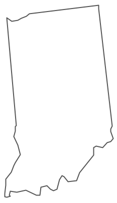
Maps of USA — State of Indiana
"Indiana is a U.S. state located in the midwestern and Great Lakes regions of North America. Indiana is the 38th largest by area and the 16th most populous of the 50 United States. Indiana is the least extensive state in the contiguous United States west of the Appalachian Mountains. Its capital and largest city is Indianapolis. Indiana was admitted to the United States as the 19th U.S. state on December 11, 1816." [Indiana. Wikipedia]
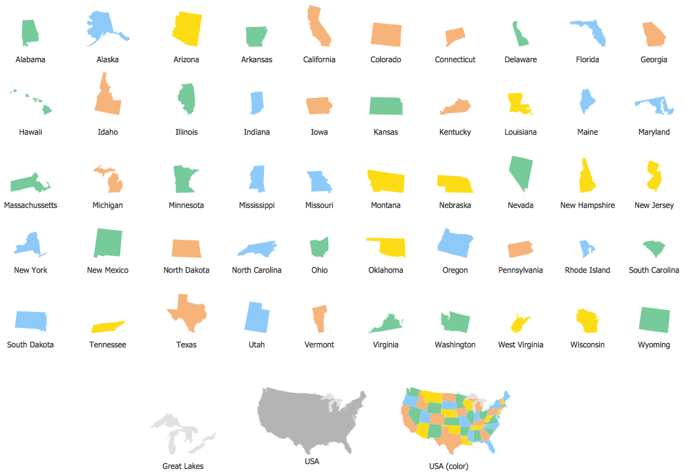
The vector stencils library Indiana contains contours for ConceptDraw DIAGRAM diagramming and vector drawing software. This library is contained in the Continent Maps solution from Maps area of ConceptDraw Solution Park.
Use the Indiana library to draw thematic maps, geospatial infographics and vector illustrations for your business documents, presentations and websites.
Geo Map — USA — State of Indiana

Geo Map — USA — Indiana Contour
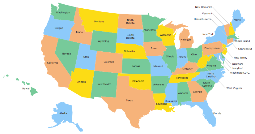
Geo Map — USA
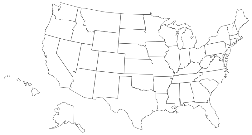
Geo Map — USA Contour
Geo Map — Contours of Territories of the United States
See Also Territories of the United States Geo Maps :
SIX RELATED HOW TO's:
Massachusetts, officially the Commonwealth of Massachusetts, is a state in the New England region of the northeastern United States.
The vector stencils library Massachusetts contains contours for ConceptDraw DIAGRAM diagramming and vector drawing software. This library is contained in the Continent Maps solution from Maps area of ConceptDraw Solution Park.
Picture: Geo Map — USA — Massachusetts
Related Solution:
Yukon is the westernmost and smallest of Canada's three federal territories. Whitehorse is the territorial capital.
The vector stencils library Yukon contains contours for ConceptDraw DIAGRAM diagramming and vector drawing software. This library is contained in the Continent Maps solution from Maps area of ConceptDraw Solution Park.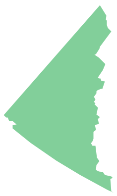
Picture: Geo Map - Canada - Yukon
Related Solution:
An Example world map, showing a simple outline of world map. The world map is vector and can be edited or export to svg format.
Picture: Geo Mapping Software Examples - World Map Outline
Related Solution:
Kansas is a U.S. state located in the Midwestern United States.
The vector stencils library Kansas contains contours for ConceptDraw DIAGRAM diagramming and vector drawing software. This library is contained in the Continent Maps solution from Maps area of ConceptDraw Solution Park.
Picture: Geo Map — USA — Kansas
Related Solution:
Oklahom is a state located in the South Central United States.
The vector stencils library Oklahoma contains contours for ConceptDraw DIAGRAM diagramming and vector drawing software. This library is contained in the Continent Maps solution from Maps area of ConceptDraw Solution Park.
Picture: Geo Map — USA — Oklahoma
Related Solution:
Missouri (see pronunciations) is a U.S. state located in the Midwestern United States.
The vector stencils library Missouri contains contours for ConceptDraw DIAGRAM diagramming and vector drawing software. This library is contained in the Continent Maps solution from Maps area of ConceptDraw Solution Park.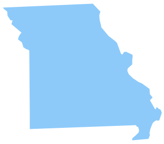
Picture: Geo Map — USA — Missouri
Related Solution:


