Geo Map - Asia - Yemen
Maps of Asia - Republic of Yemen
"Yemen, officially known as the Yemeni Republic, is an Arab country located in Western Asia, occupying the southwestern to southern end of the Arabian Peninsula. Yemen is the second largest country in the peninsula, occupying 527,970 km2 (203,850 sq mi). The coastline stretches for about 2,000 km (1,200 mi). It is bordered by Saudi Arabia to the north, the Red Sea to the west, the Gulf of Aden and Arabian Sea to the south, and Oman to the east. Its capital and largest city is Sana'a.Yemen's territory includes more than 200 islands, the largest of which is Socotra, about 354 km (220 mi) to the south of mainland Yemen. Yemen is a member of the United Nations, the Arab League, and the Organisation of Islamic Cooperation." [Yemen. Wikipedia]
The vector stencils library Yemen contains contours for ConceptDraw DIAGRAM diagramming and vector drawing software. This library is contained in the Continent Maps solution from Maps area of ConceptDraw Solution Park.
Use the Yemen library to draw thematic maps, geospatial infographics and vector illustrations for your business documents, presentations and websites.
Geo Map - Asia - Republic of Yemen
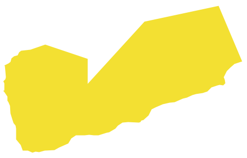
Geo Map - Asia - Yemen Contour

Geo Map - Asia

Geo Map - Asia Contour

Geo Map - contours of Asia countries

See also Geo Maps of Asia Countries :
EIGHT RELATED HOW TO's:
Iran, also known as Persia, officially the Islamic Republic of Iran since 1980, is a country in Western Asia.
The vector stencils library Iran contains contours for ConceptDraw DIAGRAM diagramming and vector drawing software. This library is contained in the Continent Maps solution from Maps area of ConceptDraw Solution Park.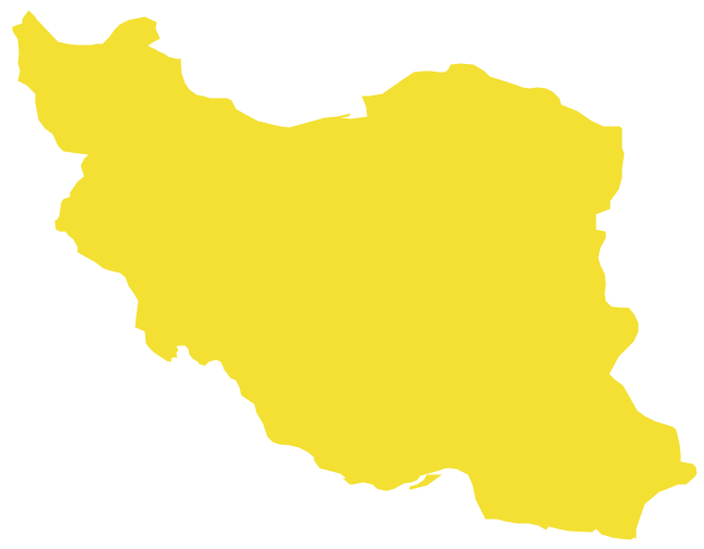
Picture: Geo Map - Asia - Iran
Related Solution:
Jordan, officially the Hashemite Kingdom of Jordan, is an Arab kingdom in West Asia, on the East Bank of the Jordan River, and extending into the historic region of Palestine.
The vector stencils library Jordan contains contours for ConceptDraw DIAGRAM diagramming and vector drawing software. This library is contained in the Continent Maps solution from Maps area of ConceptDraw Solution Park.
Picture: Geo Map - Asia - Jordan
Related Solution:
The vector stencils library Sweden contains contours for ConceptDraw DIAGRAM diagramming and vector drawing software. This library is contained in the Continent Maps solution from Maps area of ConceptDraw Solution Park.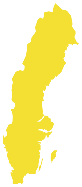
Picture: Geo Map — Europe — Sweden
Related Solution:
Bahrain, officially the Kingdom of Bahrain is a small island country situated near the western shores of the Persian Gulf.
The vector stencils library Bahrain contains contours for ConceptDraw DIAGRAM diagramming and vector drawing software. This library is contained in the Continent Maps solution from Maps area of ConceptDraw Solution Park.
Picture: Geo Map - Asia - Bahrain
Related Solution:
Namibia, officially the Republic of Namibia, is a country in southern Africa whose western border is the Atlantic Ocean.
The vector stencils library Namibia contains contours for ConceptDraw DIAGRAM diagramming and vector drawing software. This library is contained in the Continent Maps solution from Maps area of ConceptDraw Solution Park.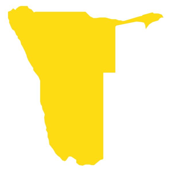
Picture: Geo Map - Africa - Namibia
Related Solution:
An Example world map, showing a simple outline of world map. The world map is vector and can be edited or export to svg format.
Picture: Geo Mapping Software Examples - World Map Outline
Related Solution:
Mongolia is a landlocked country in Central Asia.
The vector stencils library Mongolia contains contours for ConceptDraw DIAGRAM diagramming and vector drawing software. This library is contained in the Continent Maps solution from Maps area of ConceptDraw Solution Park.
Picture: Geo Map - Asia - Mongolia
Related Solution:
Kuwait, officially the State of Kuwait, is an Arab country in Western Asia.
The vector stencils library Kuwait contains contours for ConceptDraw DIAGRAM diagramming and vector drawing software. This library is contained in the Continent Maps solution from Maps area of ConceptDraw Solution Park.
Picture: Geo Map - Asia - Kuwait
Related Solution:


