
Example 1. Continents Map — Canada Regions Map
Continent Maps Solution includes the extensive drawing tools and 13 libraries with 677 ready-to-use vector objects:
- Africa
- Africa Flags
- Asia
- Asia Flags
- Australia
- Canada
- Europe
- Europe Flags
- Flags
- North and Central America Flags
- South America
- South America Flags
- United States of America
Maps and diagrams serve different purposes. While continent maps visualize geographic regions, flowchart symbols are used to represent processes, decisions, and workflows in business and technical systems.
The objects from these libraries, and also predesigned templates and samples offered in ConceptDraw STORE will allow you instantly draw any Continents Map you desire.
Look at these 12 templates included in Continent Maps Solution. These are templates for all six inhabited continents of the Earth. You can choose any which meets your requirements and make your own map on its base.
In addition to geographic visualization, ConceptDraw solutions support process modeling, enabling you to create flowcharts, system diagrams, and workflow visualizations for business and technical documentation.

Example 2. Continents Map - South Asia
The Continents Map samples you see on this page were created in ConceptDraw DIAGRAM software using the tools of the Continent Maps solution. An experienced user spent 10 minutes creating each of these samples.
Use the Continent Maps solution for ConceptDraw DIAGRAM software to create your own Continents Map quick, easy and effective, and then successfully use it in your work.
All source documents are vector graphic documents. They are available for reviewing, modifying, or converting to a variety of formats (PDF file, MS PowerPoint, MS Visio, and many other graphic formats) from the ConceptDraw STORE. The Continent Maps Solution is available for all ConceptDraw DIAGRAM or later users.
TEN RELATED HOW TO's:
Georgia is a country in the Caucasus region of Eurasia.
The vector stencils library Georgia contains contours for ConceptDraw DIAGRAM diagramming and vector drawing software. This library is contained in the Continent Maps solution from Maps area of ConceptDraw Solution Park.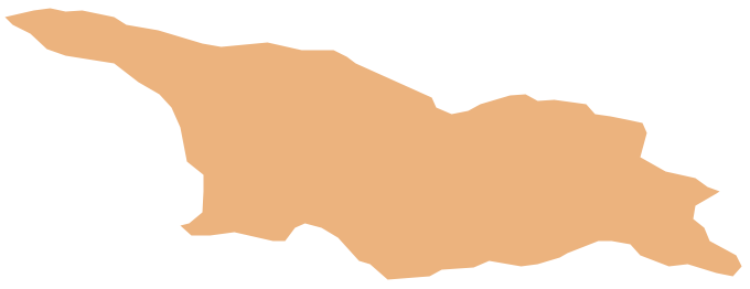
Picture: Geo Map - Asia - Georgia
Related Solution:
Communication is the main challenge and the key success factor for remote project management. Communicating visually via Skype you bring all team and customers onto the one page.
Remote Presentation for Skype solution for ConceptDraw MINDMAP helps communicate with remote team and customers in visual manner on wide range of issues. Using this solution for regular status meetings allows you to push your team on tasks and keep task statuses up to date.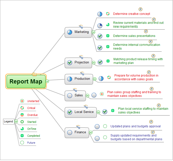
Picture: Communication Tool for Remote Project Management
Related Solution:
Niger, officially the Republic of Niger, is a landlocked country in Western Africa, named after the Niger River.
The vector stencils library Niger contains contours for ConceptDraw DIAGRAM diagramming and vector drawing software. This library is contained in the Continent Maps solution from Maps area of ConceptDraw Solution Park.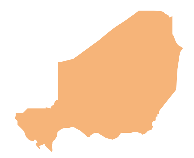
Picture: Geo Map - Africa - Niger
Related Solution:
Singapore, officially the Republic of Singapore, is a sovereign city-state and island country in Southeast Asia.
The vector stencils library Singapore contains contours for ConceptDraw DIAGRAM diagramming and vector drawing software. This library is contained in the Continent Maps solution from Maps area of ConceptDraw Solution Park.
Picture: Geo Map - Asia - Singapore
Related Solution:
Wisconsin is a U.S. state located in the north-central United States, in the Midwest and Great Lakes regions.
The vector stencils library Wisconsin contains contours for ConceptDraw DIAGRAM diagramming and vector drawing software. This library is contained in the Continent Maps solution from Maps area of ConceptDraw Solution Park.
Picture: Geo Map — USA — Wisconsin
Related Solution:
What are the favorite educational technology tools and techniques for teachers? Of course these are pictures, images and education infographics! ConceptDraw DIAGRAM software supplied with Education Infographics Solution from the Business Infographics Area provides powerful drawing tools to help design the education infographics of any complexity.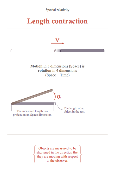
Picture: Educational Technology Tools
Related Solution:
Newfoundland and Labrador is the easternmost province of Canada.
The vector stencils library Newfoundland and Labrador contains contours for ConceptDraw DIAGRAM diagramming and vector drawing software. This library is contained in the Continent Maps solution from Maps area of ConceptDraw Solution Park.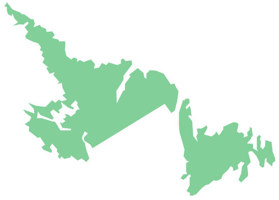
Picture: Geo Map - Canada - Newfoundland and Labrador
Related Solution:
Louisiana is a state located in the southern region of the United States.
The vector stencils library Louisiana contains contours for ConceptDraw DIAGRAM diagramming and vector drawing software. This library is contained in the Continent Maps solution from Maps area of ConceptDraw Solution Park.
Picture: Geo Map — USA — Louisiana
Related Solution:
The vector stencils library Australia contains contours of the Australian states and mainland territories for ConceptDraw DIAGRAM diagramming and vector drawing software.
Picture: Geo Map - Australia - New South Wales
Related Solution:
Cameroon, officially the Republic of Cameroon, is a country in the west Central Africa region.
The vector stencils library Cameroon contains contours for ConceptDraw DIAGRAM diagramming and vector drawing software. This library is contained in the Continent Maps solution from Maps area of ConceptDraw Solution Park.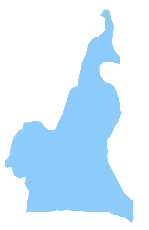
Picture: Geo Map - Africa - Cameroon
Related Solution:


