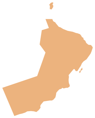
Geo Map - Asia - Oman
Maps of Asia - Sultanate of Oman
"Oman, officially called the Sultanate of Oman, is an Arab state in southwest Asia on the southeast coast of the Arabian Peninsula. It has a strategically important position at the mouth of the Persian Gulf. It is bordered by the United Arab Emirates to the northwest, Saudi Arabia to the west, and Yemen to the southwest and also shares a marine border with Iran. The coast is formed by the Arabian Sea on the southeast and the Gulf of Oman on the northeast. The Madha and Musandam exclaves are surrounded by the UAE on their land borders, with the Strait of Hormuz and Gulf of Oman forming Musandam's coastal boundaries." [Oman. Wikipedia]
The vector stencils library Oman contains contours for ConceptDraw DIAGRAM diagramming and vector drawing software. This library is contained in the Continent Maps solution from Maps area of ConceptDraw Solution Park.

Use the Oman library to draw thematic maps, geospatial infographics and vector illustrations for your business documents, presentations and websites.
Geo Map - Asia - Sultanate of Oman
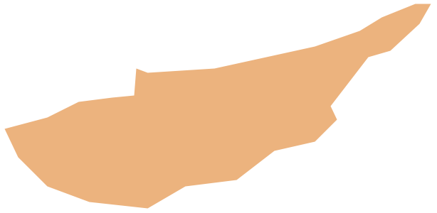
Geo Map - Asia - Oman Contour

Geo Map - Asia

Geo Map - Asia Contour

Geo Map - contours of Asia countries

See also Geo Maps of Asia Countries :
- Afghanistan
- Armenia
- Azerbaijan
- Bahrain
- Bangladesh
- Bhutan
- Brunei
- Cambodia
- China
- Cyprus
- Georgia
- India
- Indonesia
- Iran
- Iraq
- Israel
- Japan
- Jordan
- Kazakhstan
- Kuwait
- Kyrgyzstan
- Laos
- Lebanon
- Malaysia
- Mongolia
- Myanmar
- Nepal
- North Korea
- Oman
- Pakistan
- Papua New Guinea
- Philippines
- Qatar
- Saudi Arabia
- Singapore
- South Korea
- Sri Lanka
- Syria
- Tajikistan
- Thailand
- Turkey
- Turkmenistan
- United Arab Emirates
- Uzbekistan
- Vietnam
- Yemen