The vector stencils library "Road transport" contains 43 clip art images for creating vehicles and transportation illustrations, presentation slides, infographics and webpages using the ConceptDraw PRO diagramming and vector drawing software.
"Road transport (British English) or road transportation (American English) is the transport of passengers or goods on roads. ...
Transportation.
Transport on roads can be roughly grouped into the transportation of goods and transportation of people. In many countries licencing requirements and safety regulations ensure a separation of the two industries.
The nature of road transportation of goods depends, apart from the degree of development of the local infrastructure, on the distance the goods are transported by road, the weight and volume of the individual shipment, and the type of goods transported. For short distances and light, small shipments a van or pickup truck may be used. For large shipments even if less than a full truckload a truck is more appropriate. In some countries cargo is transported by road in horse-drawn carriages, donkey carts or other non-motorized mode. Delivery services are sometimes considered a separate category from cargo transport. In many places fast food is transported on roads by various types of vehicles. For inner city delivery of small packages and documents bike couriers are quite common.
People are transported on roads either in individual cars or automobiles, or in mass transit by bus or coach. Special modes of individual transport by road like rickshaws or velotaxis may also be locally available." [Road transport. Wikipedia]
The vector stencils library "Road transport" is included in the Aerospace and Transport solution from the Illustrations area of ConceptDraw Solution Park.
www.conceptdraw.com/ solution-park/ illustrations-aerospace-transport
Bicycle

Motorcycle

Race car

Car

Taxi

Sedan

Hatchback

Estate car

4x4

Limousine

Police car

Ambulance

Fire apparatus

Wrecker

Semi truck

Truck

Trailer

Refrigeration Truck

Petrol Tanker

Truck

Minibus

City Bus

Bus

Sightseeing Bus

Double-decker Bus

Trolleybus

Military Ambulance

Armored police vehicle

First Aid Tent

Catering Vehicle

Semi-trailer

Fuel Tank

Fire Station

Signal Light

Walkie-Talkie

Lorry

B-Train

Taxi

Armored cash transport car

Car isometric

Car isometric

Box truck isometric

Bus isometric

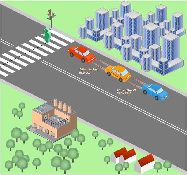
This vehicular network diagram sample was drawn on the base of picture illustrating the post "LED Traffic Signals and Vehicle Lights for Optical Broadband Communications" from the blog "Terranautix".
"Visible Light Communication (VLC) is a rapidly emerging field that focuses on the use of light sources (between 400 THz and 800 THz) for the primary purpose of broadband communications. In order to transmit data over light, the light source (transceiver) is pulsed on and off rapidly to create a data stream, similar to fiber optic communications, but in the wireless form, or “Free-Space Optical Transmission“. By pulsing lights many thousands (and millions) of times per second, data transmission occurs at a rate undetectable by the human eye. Optical receivers convert the light pulses to an electronic signal on the receiver end. The Light Emitting Diode (LED) is the primary form factor currently undergoing extensive research."
[terranautix.com/ tag/ communications]
The vehicular network diagram example "Visible light communication" was created using the ConceptDraw PRO diagramming and vector drawing software extended with the Vehicular Networking solution from the Computer and Networks area of ConceptDraw Solution Park.
Vehicular network diagram
Used Solutions
The vector stencils library "Road signs" contains 58 symbols of road signs for labeling the road and route maps, directional and transit maps, street and locator maps.
"Traffic signs or road signs are signs erected at the side of or above roads to give instructions or provide information to road users.
... many countries have adopted pictorial signs or otherwise simplified and standardized their signs to overcome language barriers, and enhance traffic safety. Such pictorial signs use symbols (often silhouettes) in place of words and are usually based on international protocols. Such signs were first developed in Europe, and have been adopted by most countries to varying degrees." [Traffic sign. Wikipedia]
The pictograms example "Road signs - Vector stencils library" was created using the ConceptDraw PRO diagramming and vector drawing software extended with the Directional Maps solution from the Maps area of ConceptDraw Solution Park.
www.conceptdraw.com/ solution-park/ maps-directional
Danger place

Intersection

Intersection 2

Bend

Double bend

Two-way traffic

Mobile bridge

Light signal

Pedestrian crossing

Road work

Back-up

Give way

Crossing

Stop

Roundabout

Pass this side

Direction to be followed

One-way street

Cycle track

No entry

No entry both directions

No power vehicles

No U-turns

No passing without stopping

No standing and parking

No parking

Speed limit

Height limit

Width limit

Weight limit

Priority over oncoming traffic

Streetcar or regular buses

Taxi status

Beginning that speed 30-Zone

End that speed 30-Zone

Pedestrian crossing 2

Police

Hotel

Breakdown service

Restaurant

P + R

Restroom

Fuel

Telephone

Recommended speed

Nodal point of a motorwa

Parking

Dead end

Motorway

End motorway

Populated zone

End populated zone

Parking with clock

Number sign (motorway)
-road-signs---vector-stencils-library.png--diagram-flowchart-example.png)
Exit

Direction to place

Board of announcement of exit

Number sign (federal highway)
-road-signs---vector-stencils-library.png--diagram-flowchart-example.png)
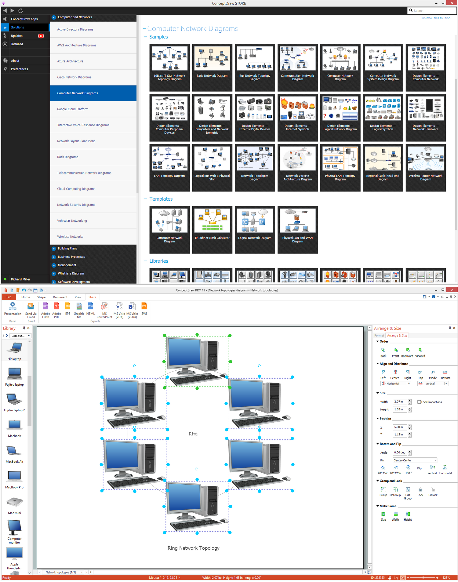
Ring Network Topology
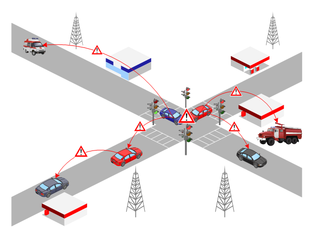
This VANET diagram example was drawn on the base of picture from the webpage "Security and Privacy in Location-based MANETs/ VANETs" from the Donald Bren School of Information and Computer Sciences, the University of California, Irvine. [ics.uci.edu/ ~keldefra/ manet.htm]
"A vehicular ad hoc network (VANET) uses cars as mobile nodes in a MANET to create a mobile network. A VANET turns every participating car into a wireless router or node, allowing cars approximately 100 to 300 metres of each other to connect and, in turn, create a network with a wide range. As cars fall out of the signal range and drop out of the network, other cars can join in, connecting vehicles to one another so that a mobile Internet is created. It is estimated that the first systems that will integrate this technology are police and fire vehicles to communicate with each other for safety purposes. Automotive companies like General Motors, Toyota, Nissan, DaimlerChrysler, BMW and Ford promote this term." [Vehicular ad hoc network. Wikipedia]
The VANET diagram example "Vehicular ad-hoc network" was created using the ConceptDraw PRO diagramming and vector drawing software extended with the Vehicular Networking solution from the Computer and Networks area of ConceptDraw Solution Park.
VANET diagram
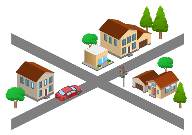
The 3D pictorial street maps are used as road maps, route maps, locator maps, transit maps, directional maps, tourist maps with points of interest (POI).
"A point of interest, or POI, is a specific point location that someone may find useful or interesting. ...
Most consumers use the term when referring to hotels, campsites, fuel stations or any other categories used in modern (automotive) navigation systems. ...
The term is widely used in cartography, especially in electronic variants including GIS, and GPS navigation software. In this context the synonym waypoint is common.
A GPS point of interest specifies, at minimum, the latitude and longitude of the POI, assuming a certain map datum. A name or description for the POI is usually included, and other information such as altitude or a telephone number may also be attached. GPS applications typically use icons to represent different categories of POI on a map graphically." [Point of interest. Wikipedia]
The example "3D pictorial street map" was created using the ConceptDraw PRO diagramming and vector drawing software extended with the Directional Maps solution from the Maps area of ConceptDraw Solution Park.
3D pictorial street map

Use this template for creating the 3D pictorial road maps, directional maps, location plans, site plans, transit maps, route maps.
"Road maps can ... vary in complexity, from a simple schematic map used to show how to get to a single specific destination (such as a business), to a complex electronic map, which may layer together many different types of maps and information" [Road map. Wikipedia]
This template for the ConceptDraw PRO diagramming and vector drawing software is included in the Directional Maps solution from the Maps area of ConceptDraw Solution Park.
3D pictorial road map template
Road Transport - Design Elements
 Aerospace and Transport
This solution extends ConceptDraw DIAGRAM software with templates, samples and library of vector clipart for drawing the Aerospace and Transport Illustrations. It contains clipart of aerospace objects and transportation vehicles, office buildings and anci
The 3D pictorial street maps are used as road maps, route maps, locator maps, transit maps, directional maps, tourist maps with points of interest (POI).
"A point of interest, or POI, is a specific point location that someone may find useful or interesting. ...
Most consumers use the term when referring to hotels, campsites, fuel stations or any other categories used in modern (automotive) navigation systems. ...
The term is widely used in cartography, especially in electronic variants including GIS, and GPS navigation software. In this context the synonym waypoint is common.
A GPS point of interest specifies, at minimum, the latitude and longitude of the POI, assuming a certain map datum. A name or description for the POI is usually included, and other information such as altitude or a telephone number may also be attached. GPS applications typically use icons to represent different categories of POI on a map graphically." [Point of interest. Wikipedia]
The example "3D pictorial street map" was created using the ConceptDraw PRO diagramming and vector drawing software extended with the Directional Maps solution from the Maps area of ConceptDraw Solution Park.
"A point of interest, or POI, is a specific point location that someone may find useful or interesting. ...
Most consumers use the term when referring to hotels, campsites, fuel stations or any other categories used in modern (automotive) navigation systems. ...
The term is widely used in cartography, especially in electronic variants including GIS, and GPS navigation software. In this context the synonym waypoint is common.
A GPS point of interest specifies, at minimum, the latitude and longitude of the POI, assuming a certain map datum. A name or description for the POI is usually included, and other information such as altitude or a telephone number may also be attached. GPS applications typically use icons to represent different categories of POI on a map graphically." [Point of interest. Wikipedia]
The example "3D pictorial street map" was created using the ConceptDraw PRO diagramming and vector drawing software extended with the Directional Maps solution from the Maps area of ConceptDraw Solution Park.
3D pictorial street map
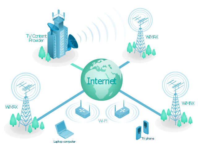
"Mobile IPTV is a technology that enables users to transmit and receive multimedia traffic including television signal, video, audio, text and graphic services through IP-based the wired and wireless networks with support for Quality of Service/ QoE, security, mobility, and interactive functions. Through Mobile IPTV, users can enjoy IPTV services anywhere and even while on the move." [Mobile IPTV. Wikipedia]
This mobile web-based TV network diagram example was created using the ConceptDraw PRO diagramming and vector drawing software extended with the Telecommunication Network Diagrams solution from the Computer and Networks area of ConceptDraw Solution Park.
This mobile web-based TV network diagram example was created using the ConceptDraw PRO diagramming and vector drawing software extended with the Telecommunication Network Diagrams solution from the Computer and Networks area of ConceptDraw Solution Park.
Mobile IP-based TV diagram
The vector stencils library "Road transport" contains 43 clip art images for creating vehicles and transportation illustrations, presentation slides, infographics and webpages using the ConceptDraw PRO diagramming and vector drawing software.
"Road transport (British English) or road transportation (American English) is the transport of passengers or goods on roads. ...
Transportation.
Transport on roads can be roughly grouped into the transportation of goods and transportation of people. In many countries licencing requirements and safety regulations ensure a separation of the two industries.
The nature of road transportation of goods depends, apart from the degree of development of the local infrastructure, on the distance the goods are transported by road, the weight and volume of the individual shipment, and the type of goods transported. For short distances and light, small shipments a van or pickup truck may be used. For large shipments even if less than a full truckload a truck is more appropriate. In some countries cargo is transported by road in horse-drawn carriages, donkey carts or other non-motorized mode. Delivery services are sometimes considered a separate category from cargo transport. In many places fast food is transported on roads by various types of vehicles. For inner city delivery of small packages and documents bike couriers are quite common.
People are transported on roads either in individual cars or automobiles, or in mass transit by bus or coach. Special modes of individual transport by road like rickshaws or velotaxis may also be locally available." [Road transport. Wikipedia]
The vector stencils library "Road transport" is included in the Aerospace and Transport solution from the Illustrations area of ConceptDraw Solution Park.
www.conceptdraw.com/ solution-park/ illustrations-aerospace-transport
"Road transport (British English) or road transportation (American English) is the transport of passengers or goods on roads. ...
Transportation.
Transport on roads can be roughly grouped into the transportation of goods and transportation of people. In many countries licencing requirements and safety regulations ensure a separation of the two industries.
The nature of road transportation of goods depends, apart from the degree of development of the local infrastructure, on the distance the goods are transported by road, the weight and volume of the individual shipment, and the type of goods transported. For short distances and light, small shipments a van or pickup truck may be used. For large shipments even if less than a full truckload a truck is more appropriate. In some countries cargo is transported by road in horse-drawn carriages, donkey carts or other non-motorized mode. Delivery services are sometimes considered a separate category from cargo transport. In many places fast food is transported on roads by various types of vehicles. For inner city delivery of small packages and documents bike couriers are quite common.
People are transported on roads either in individual cars or automobiles, or in mass transit by bus or coach. Special modes of individual transport by road like rickshaws or velotaxis may also be locally available." [Road transport. Wikipedia]
The vector stencils library "Road transport" is included in the Aerospace and Transport solution from the Illustrations area of ConceptDraw Solution Park.
www.conceptdraw.com/ solution-park/ illustrations-aerospace-transport
Bicycle
Motorcycle
Race car
Car
Taxi
Sedan
Hatchback
Estate car
4x4
Limousine
Police car
Ambulance
Fire apparatus
Wrecker
Semi truck
Truck
Trailer
Refrigeration Truck
Petrol Tanker
Truck
Minibus
City Bus
Bus
Sightseeing Bus
Double-decker Bus
Trolleybus
Military Ambulance
Armored police vehicle
First Aid Tent
Catering Vehicle
Semi-trailer
Fuel Tank
Fire Station
Signal Light
Walkie-Talkie
Lorry
B-Train
Taxi
Armored cash transport car
Car isometric
Car isometric
Box truck isometric
Bus isometric
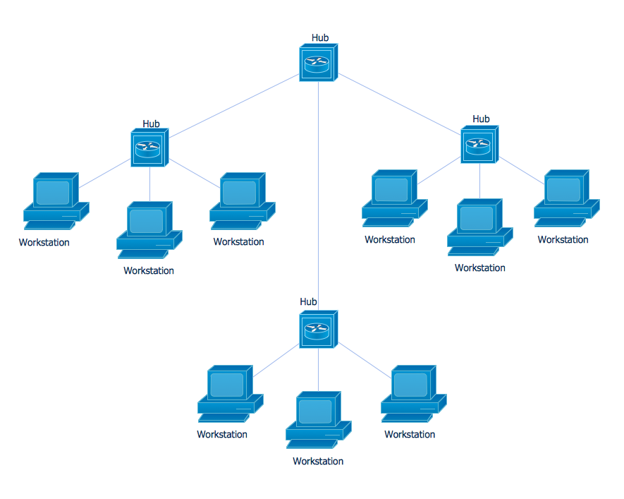
Star Network Topology
Network Glossary Definition

The vector stencils library "Road signs" contains 58 symbols of traffic signs for labeling the road and route maps, street and locator maps, transit and directional maps using the ConceptDraw PRO diagramming and vector drawing software.
"Traffic signs or road signs are signs erected at the side of or above roads to give instructions or provide information to road users. ...
With traffic volumes increasing since the 1930s, many countries have adopted pictorial signs or otherwise simplified and standardized their signs to overcome language barriers, and enhance traffic safety. Such pictorial signs use symbols (often silhouettes) in place of words and are usually based on international protocols. Such signs were first developed in Europe, and have been adopted by most countries to varying degrees." [Traffic sign. Wikipedia]
The vector stencils library "Road signs" is included in the Directional Maps solution from the Maps area of ConceptDraw Solution Park.
Road signs

The vector stencils library "Cisco switches and hubs" contains 26 symbols of Cisco switches and hubs for drawing computer network diagrams.
"A switch is a device used on a computer network to physically connect devices together. Multiple cables can be connected to a switch to enable networked devices to communicate with each other. Switches manage the flow of data across a network by only transmitting a received message to the device for which the message was intended. Each networked device connected to a switch can be identified using a MAC address, allowing the switch to regulate the flow of traffic. This maximises security and efficiency of the network. Because of these features, a switch is often considered more "intelligent" than a network hub. Hubs neither provide security, or identification of connected devices. This means that messages have to be transmitted out of every port of the hub, greatly degrading the efficiency of the network." [Network switch. Wikipedia]
"An Ethernet hub, active hub, network hub, repeater hub, multiport repeater or hub is a device for connecting multiple Ethernet devices together and making them act as a single network segment. It has multiple input/ output (I/ O) ports, in which a signal introduced at the input of any port appears at the output of every port except the original incoming. A hub works at the physical layer (layer 1) of the OSI model. The device is a form of multiport repeater. Repeater hubs also participate in collision detection, forwarding a jam signal to all ports if it detects a collision." [Ethernet hub. Wikipedia]
The symbols example "Cisco switches and hubs - Vector stencils library" was created using the ConceptDraw PRO diagramming and vector drawing software extended with the Cisco Network Diagrams solution from the Computer and Networks area of ConceptDraw Solution Park.
www.conceptdraw.com/ solution-park/ computer-networks-cisco
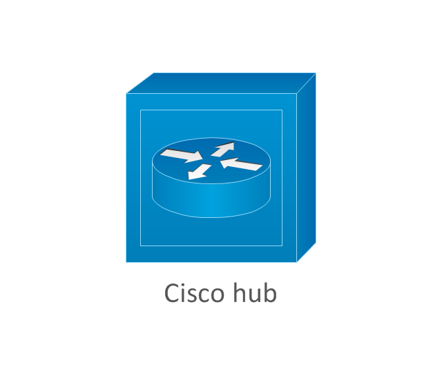
Cisco hub
100BaseT hub

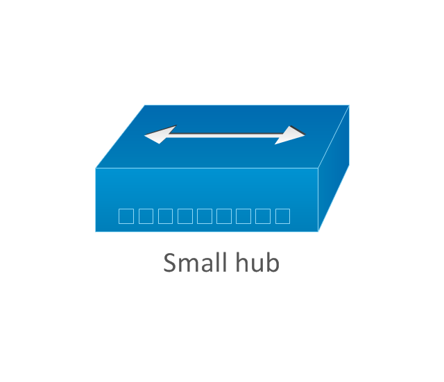
Small hub
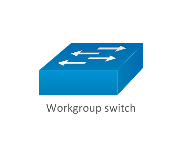
Workgroup switch
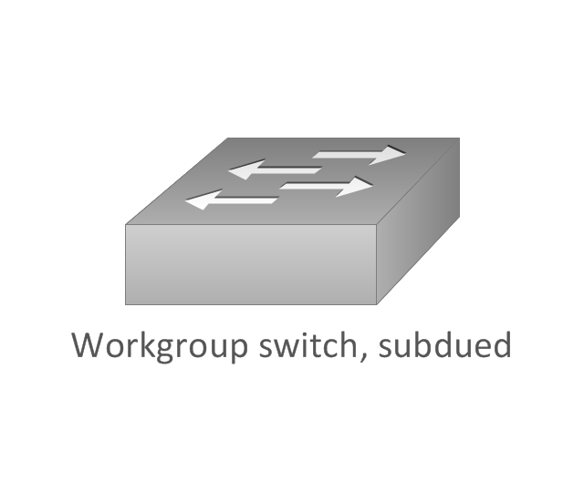
Workgroup switch, subdued
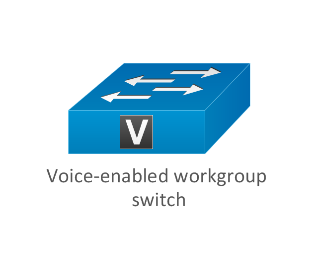
Voice-enabled workgroup switch
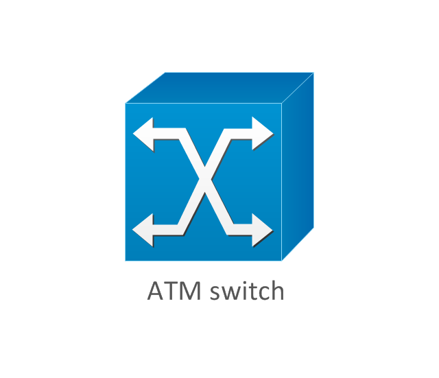
ATM switch
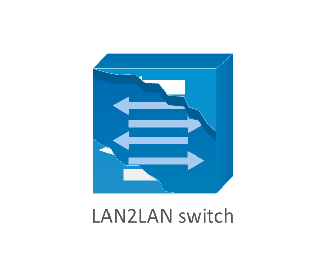
LAN2LAN switch
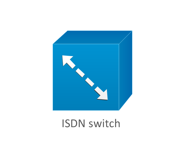
ISDN switch
MGX 8000 multiservice switch

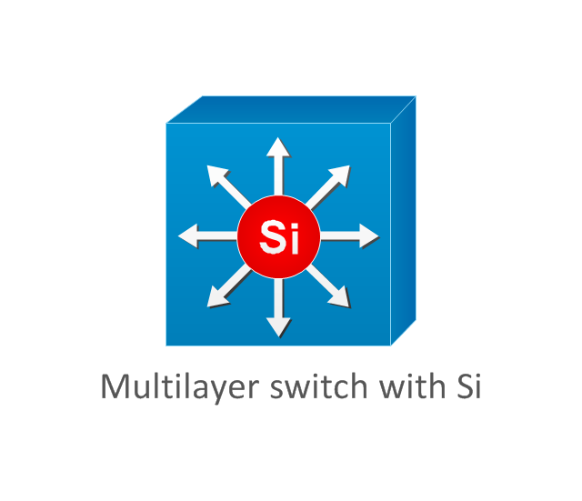
Multilayer switch with Si
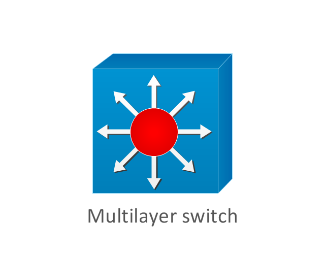
Multilayer switch
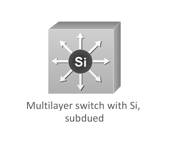
Multilayer switch with Si, subdued
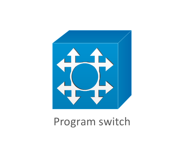
Program switch
Data center switch

Voice-enabled ATM switch
IP DSL switch

Content switch
Content service switch 1100
Virtual layer switch
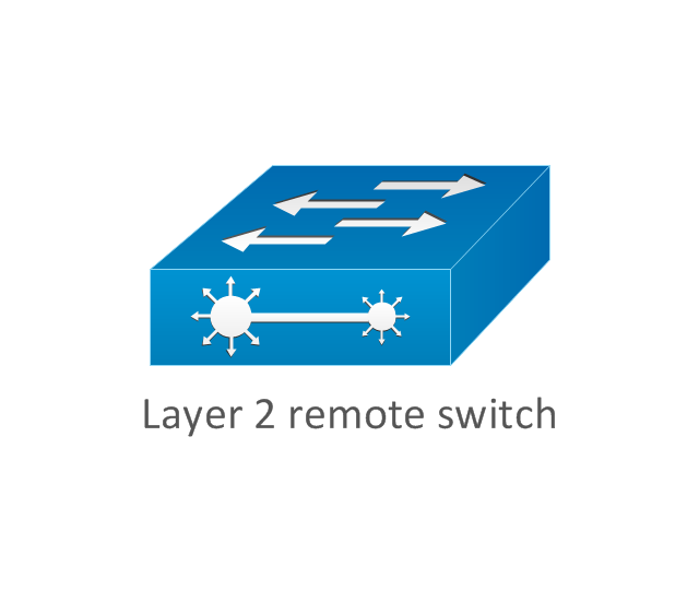
Layer 2 remote switch
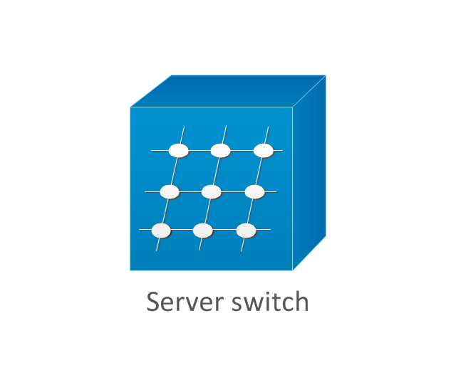
Server switch
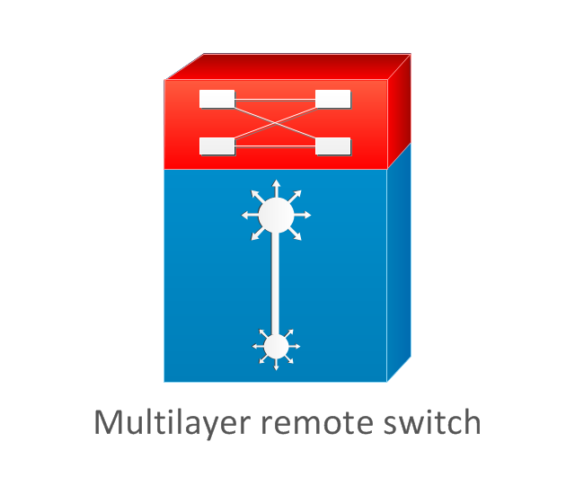
Multilayer remote switch
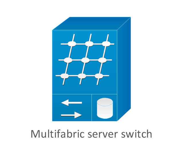
Multifabric server switch
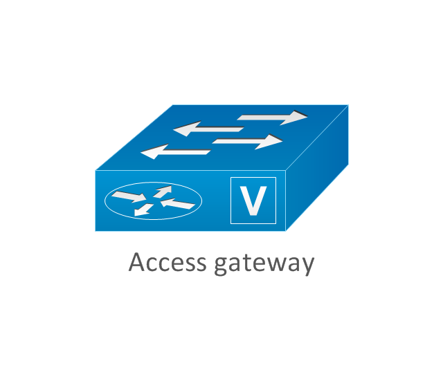
Access gateway
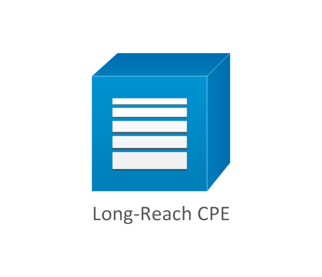
Long-Reach CPE
Network Topologies

Design Element: Computer and Network for Network Diagrams
.png)
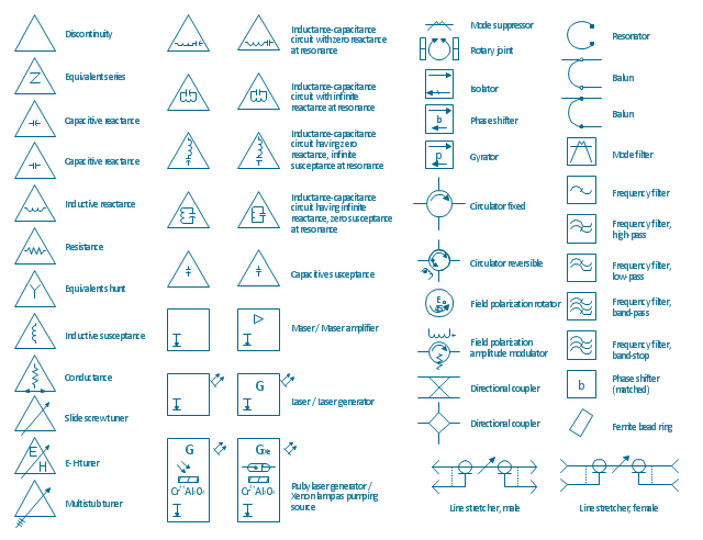
The vector stencils library "VHF UHF SHF" contains 52 symbols for VHF, UHF, and SHF circuit design, including capacitance measurers, nonreciprocal devices, modulators, phase shifters, field polarization devices, and filters.
"Very high frequency (VHF) is the ITU-designated range of radio frequency electromagnetic waves from 30 MHz to 300 MHz, with corresponding wavelengths of one to ten meters. Frequencies immediately below VHF are denoted high frequency (HF), and the next higher frequencies are known as ultra high frequency (UHF).
Common uses for VHF are FM radio broadcasting, television broadcasting, land mobile stations (emergency, business, private use and military), long range data communication up to several tens of kilometres with radio modems, amateur radio, and marine communications. Air traffic control communications and air navigation systems (e.g. VOR, DME & ILS) work at distances of 100 kilometres or more to aircraft at cruising altitude.
VHF was previously used for analog television stations in the US." [Very high frequency. Wikipedia]
"Ultra-high frequency (UHF) designates the ITU radio frequency range of electromagnetic waves between 300 MHz and 3 GHz (3,000 MHz), also known as the decimetre band or decimetre wave as the wavelengths range from one to ten decimetres; that is 1 decimetre to 1 metre. Radio waves with frequencies above the UHF band fall into the SHF (super-high frequency) or microwave frequency range. Lower frequency signals fall into the VHF (very high frequency) or lower bands. UHF radio waves propagate mainly by line of sight; they are blocked by hills and large buildings although the transmission through building walls is high enough for indoor reception. They are used for television broadcasting (digital and analogue), cordless phones, walkie-talkies, satellite communication, and numerous other applications.
The IEEE defines the UHF radar band as frequencies between 300 MHz and 1 GHz. Two other IEEE radar band overlap the ITU UHF band: the L band between 1 and 2 GHz and the S band between 2 and 4 GHz." [Ultra high frequency. Wikipedia]
"Super high frequency (or SHF) is the ITU designation for radio frequencies (RF) in the range of 3 GHz and 30 GHz. This band of frequencies is also known as the centimetre band or centimetre wave as the wavelengths range from ten to one centimetres. These frequencies fall within the microwave band, so radio waves with these frequencies are called microwaves. The small wavelength of microwaves allows them to be directed in narrow beams by aperture antennas such as parabolic dishes, so they are used for point-to-point communication and data links, and for radar. This frequency range is used for most radar transmitters, microwave ovens, wireless LANs, cell phones, satellite communication, microwave radio relay links, and numerous short range terrestrial data links. The commencing wireless USB technology will be using approximately 1/ 3 of this spectrum.
Frequencies in the SHF range are often referred to by their IEEE radar band designations: S, C, X, Ku, K, or Ka band, or by similar NATO or EU designations." [Super high frequency. Wikipedia]
The shapes example "Design elements - VHF UHF SHF" was drawn using the ConceptDraw PRO diagramming and vector drawing software extended with the Electrical Engineering solution from the Engineering area of ConceptDraw Solution Park.
VHF, UHF, SHF symbols
- Signal Light
- Traffic Signal Diagrams
- Traffic Map 3d
- Traffic And Road And Police Signals Road Drawing
- Traffic Signal For Direction
- Road Transport - Design Elements | 3D Directional map template ...
- Road signs - Vector stencils library | Design elements - Road signs ...
- UML Class Diagram Example for Transport System
- Road Transport - Design Elements | Design elements - Road ...
- Vehicular Networking | How to Create a Vehicular Network Diagram ...
- How To Draw Traffic Signal
- 3D pictorial street map | Design elements - 3D directional maps ...
- Traffic Light On Road Drawing
- Puzzle piece diagram - Alternating sign matrix | The relationship ...
- Road signs - Vector stencils library | Road transport - Vector stencils ...
- 3D pictorial street map | Fundraising Pyramid | Fundraising pyramid ...
- Local vehicular networking - Vector stencils library | Road transport ...
- Vehicular ad-hoc network | Vehicular Networking | Design elements ...
- Examples Of Road Traffic Light Signs
- Intelligent transportation system | Vehicular Networking | Global ...