Geo Map — Africa — Tanzania
Maps of Africa — United Republic of Tanzania
Tanzania is officially called as the United Republic of Tanzania. It is a country in the eastern part of Africa within the African Great Lakes region. The parts of this country are in the southern part of Africa and it is bordered by Uganda and Kenya to the north. Tanzania borders with Burundi, Rwanda and Congo, which full name is the Democratic Republic of the Congo. Malawi, Zambia and Mozanbique are the countries to the south from Tanzania. There is the Indian Ocean to the east from Tanzania, allowing the local people to enjoy the beach life. There are also the mountains in Tanzania, one of which is especially famous: Mount Kilimanjaro is well known from all over the world for being the highest mountain in Africa. This mountain is in the north-eastern part of Tanzania and it is available for visitors to climb on top of it any time of the year, attracting lots of tourists.
Tanzania's population is over 51,82 million people. This country is quite diverse, being composed of different linguistic, ethnic and religious groups. Tanzania is known to be a presidential republic, which President follows the commonly accepted constitution. Since 1996, Tanzania’s official capital city has been the one called Dodoma. The President's office is in the capital city, as well as the National Assembly is. There are also some government ministries are located. The former capital is Dar es Salaam retaining most of the government offices. Dar es Salaam is Tanzania’s largest city as well as the principal port; it is also one of the leading (or even the most leading) commercial center.
Tanzania is a country which has the socialist-progressive CCM (Chama Cha Mapinduzi) party in power. From its formation until 1992, this party was the only legally permitted one in the country, but the situation was changed in 1992, when amendments to the Constitution and a number of laws permitting of more than one political party were allowed by the “National Assembly”. Last elections for president as well as all National Assembly seats took place in 2015, but still the CCM holds about 75% of the seats in the assembly.
The colonialism of Tanzania by the Europeans began in the late 19th century when Germany formed so-called “German East Africa”, giving a way to British rule following World War I. The mainland of Tanzania was governed as “Tanganyika”, having the Zanzibar Archipelago remaining as a separate colonial jurisdiction.
Tanzania is a mountainous country. There are also many forests in the north-eastern part of it, where Mount Kilimanjaro, discussed before, is located. There are all together three Great Lakes in Africa, all of them being partly within the borders of Tanzania. To the west and north lie Lake Victoria, which is known as the Africa's largest lake. There is also another lake - Lake Tanganyika, the continent's deepest one, known for its unique species of fish. The eastern part of Tanzania is humid and hot, having the Zanzibar Archipelago as its offshore. The waterfall of Kalambo in the south-western region of Rukwa is the second highest fall in Africa, being located near the south-eastern shore of lake named Lake Tanganyika on the border with another African country — Zambia.
There are over 100 different languages being spoken by those living in Tanzania, that is why this country is the most linguistically diverse one in East Africa. All four of Africa's language families are used in Tanzania, which are Nilotic, Cushitic, Khoisan and Bantu, but the official languages of Tanzania are English and Swahili. Being a highly multilingual country, Swahili is used in Tanzania in the parliamentary debates, as well as in the lower courts and in primary schools. At the same time English is used in diplomacy, foreign trade and in higher courts, as well as in secondary and higher education. President of Tanzania is Nyerere and he has encouraged the use of Swahili straight after and since he was elected. There are about 10% of Tanzanians speaking Swahili as their first language. And about 90% of the population of Tanzania speak it as their second language. At the same time, it is more common for Tanzanians to speak both Swahili and a local language, but many of the educated Tanzanians know three languages, including English as their third language.
Being 947303 square kilometers large, Tanzania is on the 13th place for being the largest country in Africa and the 31st largest one in the whole world. Its size can be compared to be in between of the smaller Nigeria and larger Egypt. This country borders Uganda, Kenya, Burundi, Rwanda, Congo, Malawi, Zambia, and Mozambique, as it was already mentioned before. It is located on the eastern coast of the continent of Africa, having the coastline all along the Indian Ocean stretching up for 800 kilometers long. Tanzania incorporates some of the offshore islands, including Pemba, Mafia and Zanzibar. This country is known as the site of Africa's highest point at 5895 meters above sea level where Mount Kilimanjaro is and lowest point having the Lake Tanganyika only at 352 meters below sea level.
Tanzania is quite mountainous and its largest marine protected area is in Zanzibar known as “The Menai Bay Conservation Area”, interesting for many tourists who come to this African country for the new adventures as well as new impressions. Once you decide to visit Tanzania, you know where it is better to go and what to see, although planning your trip it is better to have your own map with all of the routes marks, such as where to start your journey and there to end up. Making your own map may sound as a hard thing to do, but once you have ConceptDraw DIAGRAM it is not a problem to make your own great looking and convenient map of Tanzania as well as other countries of Africa.
Having ConceptDraw DIAGRAM software as well as ConceptDraw STORE means having all of the necessary tools for creating your great looking, smart, professional maps. ConceptDraw STORE is another application, developed by the team of professionals working for CS Odessa creating different solutions, containing the pre-made templates as well as the stencil libraries. You can download the “Continent Maps solution” from there or from the “Maps area” of “ConceptDraw Solution Park” on this site and use its useful vector stencils library “Tanzania” with the contours of this country, which can be used while working in the ConceptDraw DIAGRAM diagramming and vector drawing software.

Pic. 1. Continent Maps Solution
Use the Tanzania library to draw thematic maps, geospatial infographics and vector illustrations for your business documents, presentations and websites.
Geo Map — Africa — United Republic of Tanzania
Tanzania has a population of over 51,8 million and an area 947,303 sq km(365,756 sq mi).

Pic. 2. Tanzania
Geo Map — Africa — Tanzania Contour
Capital - Dodoma.

Pic. 3. Tanzania Contour
Geo Map — Africa
Africa is the world's second-largest and second-most-populous continent. It contains 54 countries.

Pic. 4. Africa Map
Geo Map — Africa Contour
A contour map is a map illustrated with contour lines.

Pic. 5. Africa Contour
Geo Map — contours of Africa countries
Use the map contours library "Africa" to design thematic maps using the ConceptDraw DIAGRAM diagramming and vector drawing software.
The vector stencils library "Africa" contains 62 map contours: Africa political map, map contours of countries.

Pic. 6. Сontours of Africa countries
Geo Map — Map of the African Union with suspended states
The member states of the African Union are the 54 sovereign states that have ratified or acceded to the Constitutive Act of the African Union to become member states to the African Union (AU). The AU replaced the Organisation of African Unity (OAU), and AU membership was open to all OAU member states. From an original membership of 36 states when the OAU was established on 25 May 1963, there have been eighteen successive enlargements – the largest occurring on 18 July 1975 when four states joined. South Sudan is the newest member state, having joined on 27 July 2011. The only African United Nations member state which could join, or more precisely re-activate its membership, is Morocco, which withdrew following the organization's acceptance of the Sahrawi Arab Democratic Republic, whose status is disputed, as a member state. Spain, primarily a European country, maintains sovereignty over Spanish North Africa and the Canary Islands off the coast, but is only accredited to the African Union.
The African Union is composed of fifty two republics and two kingdoms. The total population of the AU is 1,068,444,000 (2013)
This example is created using ConceptDraw DIAGRAM diagramming software enhanced with Continent Maps solution from ConceptDraw Solution Park.

Pic. 9. African Union with suspended states
All ConceptDraw DIAGRAM documents are vector graphic files and are available for reviewing, modifying, and converting to a variety of formats: image, HTML, PDF file, MS PowerPoint Presentation, Adobe Flash, MS Visio (.VDX, .VSDX).
See also Geo Maps of Africa Countries :
- Algeria
- Angola
- Benin
- Botswana
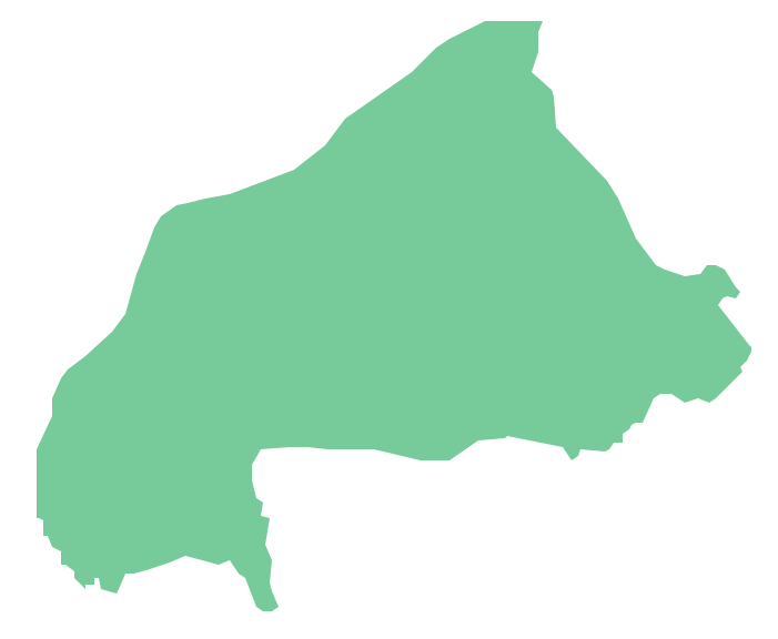
- Burkina Faso
- Burundi
- Cameroon
- Central African Republic
- Chad
- Congo
- Congo DRC
- Cote d'Ivoire
- Djibouti
- Egypt
- Equatorial Guinea
- Eritrea
- Ethiopia
- Gabon
- Gambia
- Ghana
- Guinea
- Guinea Bissau
- Kenya
- Lesotho
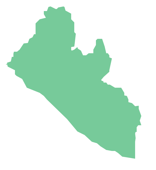
- Liberia
- Libya
- Madagascar
- Malawi
- Mali
- Mauritania
- Morocco
- Mozambique
- Namibia
- Niger
- Nigeria
- Rwanda
- Senegal
- Sierra Leone
- Somalia
- South Africa
- South Sudan
- Sudan
- Swaziland
- Tanzania
- Togo
- Tunisia
- Uganda
- Western Sahara
- Zambia
- Zimbabwe