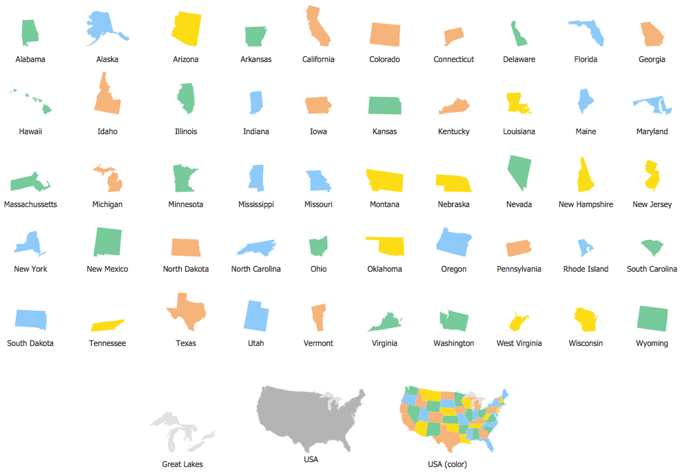
Geo Map — USA — Virginia
Maps of USA — Commonwealth of Virginia
Virginia is one of the United States of America, having its total area of about 110784 square kilometres, including 8236,5 square kilometres of water, taking the 35th place due to its area among other states of America. This state is bordered by Washington, D.C. and Maryland to the east and north, having its boundary with Maryland and Washington, D.C. extending to the low-water mark of the south shore of the river — the Potomac River. Its border with Tennessee was not settled at once but only in 1893, and nowadays it also borders by Tennessee to the south-west, by the Atlantic Ocean to the east and by West Virginia.
The official name for this state is the “Commonwealth of Virginia”. This state is in the Southeastern United States, located between the Appalachian Mountains and the Atlantic Coast. Virginia is also known as the "Old Dominion" due to its status: the first English colonial possession was established on the mainland of North America. The Commonwealth's estimated population in 2014 was over 8 million.
There is the oldest continuous law-making body in the New World, known as the “Virginia General Assembly”. Virginia's economy depends only on a few sectors, which are: agriculture, federal agencies and military facilities. This state is divided into 95 counties as well as 38 independent cities. Virginia state limits the authority of cities and counties to countermand laws expressly allowed by the “Virginia General Assembly”. There are also so-called “incorporated towns”, operating under their own governments, being still a part of a county. Besides, there are hundreds of unincorporated communities within the counties, but no political subdivisions, which means there are no villages or townships within this state’s borders.
There are, though, all eleven Metropolitan Statistical Areas in this state, most populous of which are Hampton Roads, Northern Virginia and Richmond-Petersburg as well. The capital of this state is the city called Richmond, having over 1.2 million people living in its metropolitan area. One of the other most populous cities is Virginia Beach, Chesapeake and Norfolk, which forms the urban core of the Hampton Roads metropolitan area, having a population of over 1.6 million people. Suffolk is known to be the largest city by area, being located on the 1111 square kilometres of the American land.
The most populous locality in Virginia is Fairfax Country, having over one million residents living there, and it is not including its county seat Fairfax, which is one of the independent cities. The second on the list of the most populous counties is Prince William County, which population exceeds 450000 people. The fastest-growing county in Virginia is Loudoun one, having its county seat at Leesburg. The Arlington County is the smallest county in the United States of America and it is also a part of the Virginia state. The Roanoke area has a population of over 300000 people, being the largest Metropolitan Statistical Area in western Virginia.
Agriculture occupies 32% of the land of this state: in 2012 there were about 357000 people from Virginia occupied in agriculture working on over 47000 farms. Virginia is still the fifth-largest producer of tobacco in America and the largest producer of seafood on the East Coast, trading with the scallops, blue crabs, oysters and clams, having them as the largest seafood harvests by value, exporting to Canada, France and China. Harvests of the oysters has increased from 23000 bushels in 2001 to over 500000 in 2013; and the wineries as well as the vineyards of the northern part of the state along with the Blue Ridge Mountains also have begun to generate an income and so attract the tourists.
Virginia has the highest concentration of technology workers of any state and the fourth-highest number of technology workers, followed by Texas, going after California and, of course, New York. The state has the highest average as well as a peak Internet speeds in the United States of America, being on the third place among the rest in the world due to the highest speed. Northern Virginia's data centres are able to carry up to 70% of the nation's internet traffic, having Loudoun County as a home to as much data centre space as northern California.
There are 20 out of 500 companies, which are ranked as the eighth nationwide in Virginia, having Tysons Corner as the largest business district in the nation. Tourism development in Virginia leads to providing about 210000 jobs a year, generating about 21.2 billion U.S. dollars. In this respect, Arlington County is the top tourist destination in the state by domestic spending, followed by Virginia Beach, Fairfax County as well as Loudoun one.
This state is known to be as an “employment-at-will”, which means it follows the U.S. labour law for arranging the contractual relationships, where each employee can be dismissed by an employer for any reason, as well as without any warning. Its economy has quite a lot of different sources of income, including federal and local government, farming, different kinds of business and military. There are over 4 million civilian workers, being occupied in the service sector. The Gross Domestic Product of this state was 452 U.S. dollars billion in 2013, so it has the most counties in the top 100 of the wealthiest in America at sixteen counties based upon median income in 2007. The northern part of Virginia is the highest income region, having 6 out of the 20 highest-income counties in America.
Knowing so much about this state, it is still better to mention the most important information with the help of a self-made map. It is quite a simple job, as long as you have ConceptDraw DIAGRAM which is a software for making such drawings within a short period of time. Once you have ConceptDraw STORE, then this task may be even simpler, as the “Continent Maps solution” from this new product of CS Odessa was developed especially for a reason of helping the ConceptDraw DIAGRAM users complete their tasks of creating the maps of different regions the sooner the better getting a professional and smart looking result. This solution can also be found in the “Maps area” of ConceptDraw Solution Park on this site and so the vector stencils library “Virginia”, which contains the contours of this state can be used while working in the ConceptDraw DIAGRAM diagramming and vector drawing software.
Use the Virginia library to draw thematic maps, geospatial infographics and vector illustrations for your business documents, presentations and websites.
Geo Map — USA — Commonwealth of Virginia
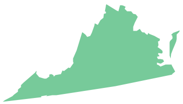
Geo Map — USA — Virginia Contour
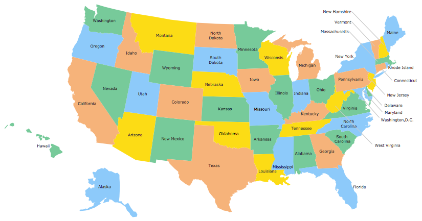
Geo Map — USA
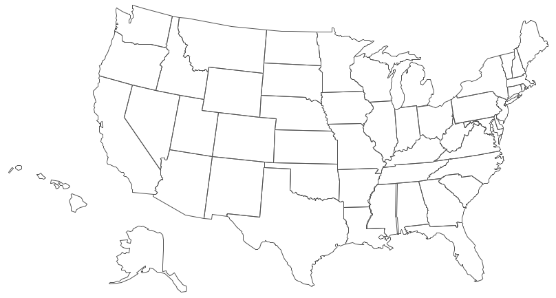
Geo Map — USA Contour
Geo Map — contours of Territories of the United States
See Also Territories of the United States Geo Maps :
- Alabama
- Alaska
- Arizona
- Arkansas
- California
- Colorado
- Connecticut
- Delaware
- Florida
- Georgia
- Hawaii
- Idaho
- Illinois
- Indiana
- Iowa
- Kansas
- Kentucky
- Louisiana
- Maine
- Maryland
- Massachusetts
- Mexico
- Michigan
- Minnesota
- Mississippi
- Missouri
- Montana
- Nebraska
- Nevada
- New Hampshire
- New Jersey
- New Mexico
- New York
- North Carolina
- North Dakota
- Ohio
- Oklahoma
- Oregon
- Pennsylvania
- Tennesse
- Utah
- Vermont
- Virginia
- Washington
- West Virginia
- Wisconsin
- Wyoming
- United States
