How to Draw a Natural Landscape
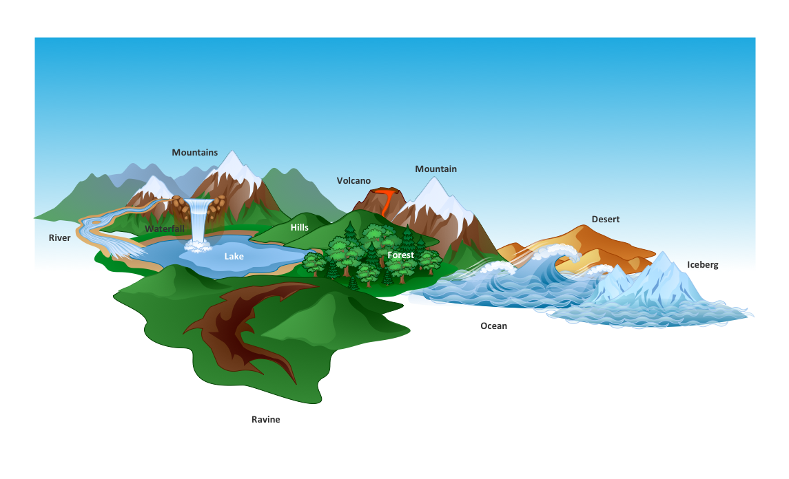
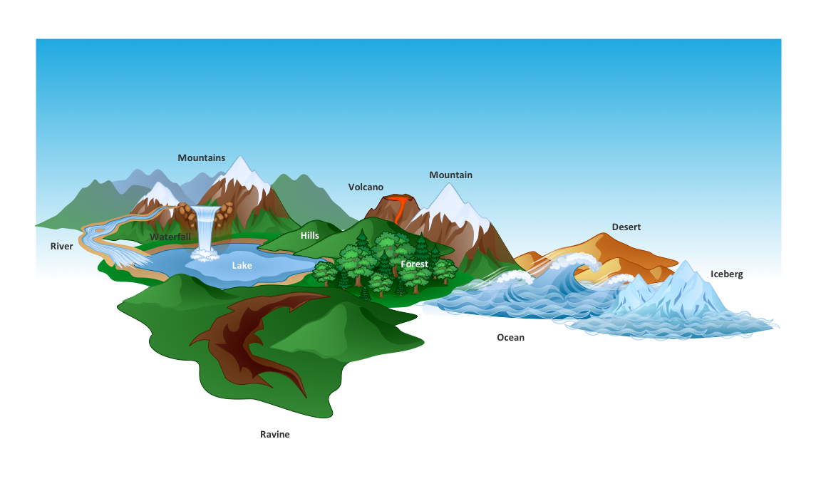
Nature solution expands ConceptDraw DIAGRAM software with samples, templates and libraries of vector clip art for drawing of Nature illustrations. Use Geography library of vector stencils to draw natural landscapes.
 Nature
This solution extends ConceptDraw DIAGRAM software with samples, templates and libraries of vector clipart for drawing the Nature illustrations. Use it to make professional-looking documents, presentations and websites illustrated with color scalable vector c
Map Software
Create maps, flags, and more with ConceptDrawBeautiful Nature Scene: Drawing
The Nature Solution addition to ConceptDraw Solution Park for ConceptDraw DIAGRAM includes new libraries that provide a wide range nature objects and it can be used to augment documentation and graphics. Draw beautiful nature scenes using ConceptDraw DIAGRAM software with Nature solution.Types of Map - Overview
ConceptDraw defines some map types, divided into three categories. Every map type has specific shapes and examples.Gantt chart examples
All Gantt charts were made using ConceptDraw PROJECT. ConceptDraw PROJECT works both on Windows and Mac OS X. It allows to schedule a voluntary number of projects in a single Workspace document and lets easily share tasks and resources among them. ConceptDraw PROJECT shares files among Windows and Mac OS X.Geo Map — Asia
ConceptDraw is idea to draw the geological maps of Asia from the pre-designed vector geo map shapes. Use Geo Map Asia to draw thematic maps, geospatial infographics and vector illustrations for your business documents, presentations and websites.Nature Drawings - How to Draw
Nature solution expands this software possibilities to create beautiful illustrations diagrams with the new library which contains 17 vector objects.Map of USA
It is impossible to imagine modern life and science without maps, they surround us anywhere, they are used in geography, history, politics, economics, and many other fields of science. ConceptDraw DIAGRAM diagramming and vector drawing software offers the USA Maps Solution from the Maps Area of ConceptDraw Solution Park with its collection of samples and libraries for easy drawing the Map of USA.Basic Diagramming Flowchart Software
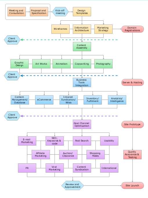
ConceptDraw DIAGRAM is a powerful intelligent vector graphics tool for drawing flowcharts.
 USA Maps
Use the USA Maps solution to create a map of USA, a US interstate map, printable US maps, US maps with cities and US maps with capitals. Create a complete USA states map.
Infographic Maker
Infographic is a visual way of representing various information, data, knowledge in statistics, geography, journalism, education, and much more areas. ConceptDraw DIAGRAM supplied with Pictorial Infographics Solution from the “Infographics” Area, provides a set of powerful pictorial infographics tools. Thanks to them it is the best Infographic Maker.Geo Map - USA - Arkansas
Arkansas is a state located in the Southern region of the United States. The vector stencils library Arkansas contains contours for ConceptDraw DIAGRAM diagramming and vector drawing software. This library is contained in the Continent Maps solution from Maps area of ConceptDraw Solution Park.
 Australia Map
For graphic artists creating accurate maps of Australia. The Australia Map solution - allows designers to map Australia for their needs, offers a collection of scalable graphics representing the political geography of Australia, split into distinct state
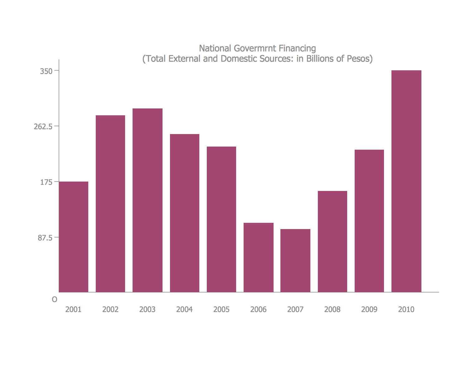
Bar Diagrams for Problem Solving. Create economics and financial bar charts with Bar Graphs Solution
Create bar graphs for visualizing economics problem solving and financial data comparison using the ConceptDraw DIAGRAM diagramming and vector drawing software extended with the Bar Graphs Solution from the Graphs and Charts area of ConceptDraw Solition Park.Geo Map - USA - New Mexico
New Mexico is a state located in the southwest and western regions of the United States. The vector stencils library New Mexico contains contours for ConceptDraw DIAGRAM diagramming and vector drawing software. This library is contained in the Continent Maps solution from Maps area of ConceptDraw Solution Park.- New Nature Solution for ConceptDraw PRO v9 to Better Illustrate ...
- Software For Drawing Geography Diagrams
- Flow Diagram In Geography
- How To Draw Flow Diagram Geography
- Rectangular Diagram In Geography
- Flow Diagram Regarding Geography
- Diagram Of Nature In Geography
- Flow Chart Of Nature Of Geography
- Beautiful Nature Scene: Drawing | SYSML | UK Map | Free Software ...
- Geography Flow Diagram With Data
- Conference centre location map | How to Draw a Map of North ...
- How To Draw Flow Diagram In Geography
- Waterfall Bar Chart | Geography - Vector stencils library | SSADM ...
- Basic Divided Bar Diagrams | Geo Map - World | Education Package ...
- Geography - Vector stencils library | Water cycle diagram | Flat ...
- Geography - Vector stencils library | ConceptDraw Solution Park ...
- Geo Map — South America Continent | How to Draw Pictorial Chart ...
- Geography - Vector stencils library | How to Draw a Map of North ...
- How To Draw A Easy Geography Picture
