HelpDesk
How to Draw a Map of North America

Beautiful Nature Scene: Drawing
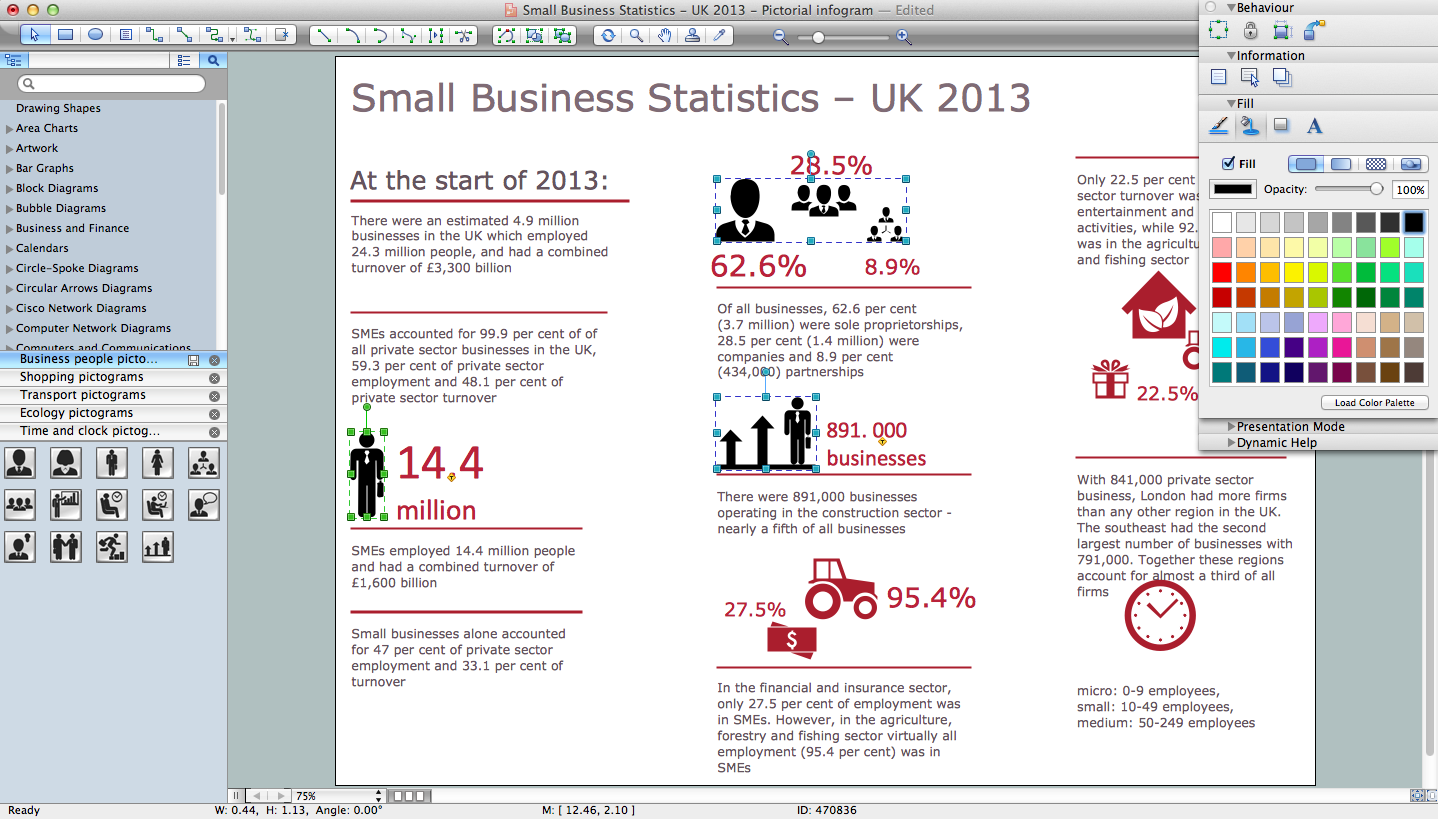
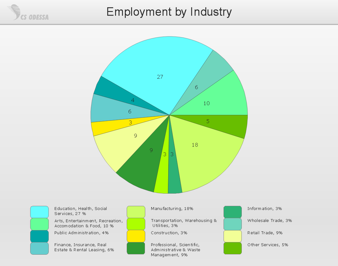
How to Draw Pictorial Chart. How to Use Infograms
Map Software

Geo Map - Africa

HelpDesk
How to Create a Map Depicting the United Kingdom Counties and Regions

HelpDesk
How to Create a Map of Germany

Horizontal Flowchart
Work Flow Chart

HelpDesk
How to Draw Maps of Australia

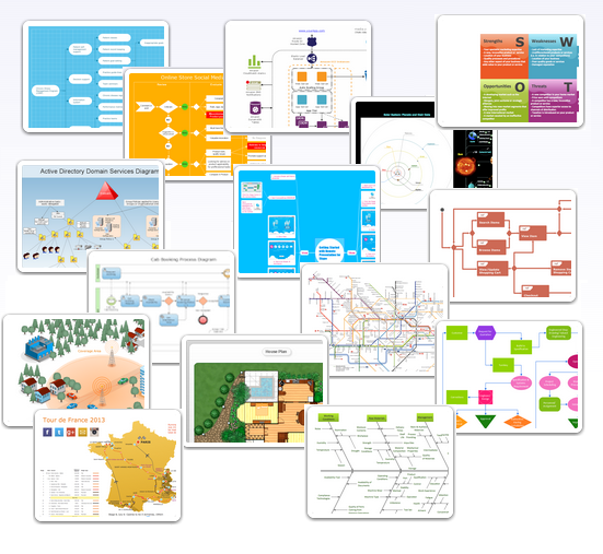
Examples of Flowcharts, Org Charts and More
Drawing a Nature Scene
Basic Diagramming
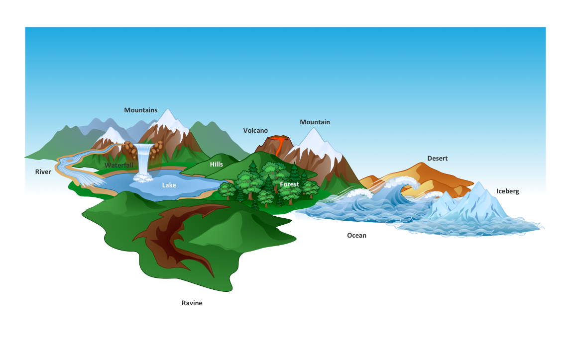
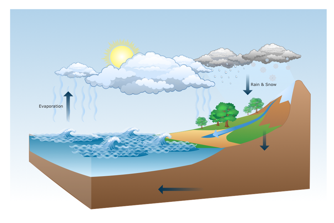
 Nature
This solution extends ConceptDraw DIAGRAM software with samples, templates and libraries of vector clipart for drawing the Nature illustrations. Use it to make professional-looking documents, presentations and websites illustrated with color scalable vector c
 Universal Diagramming Area
This area collects solutions for drawing diagrams, charts, graphs, matrices, geographic and road maps for education, science, engineering, business.
- Flow Diagram In Geography
- How To Draw Flow Diagram In Geography
- Flow Charts In Geography
- How To Draw Divided Rectangle Of 10th Geography
- Flow Diagram Regarding Geography
- Geography Flow Diagram With Data
- What Is Flow Chart In Geography
- Basic Flowchart Symbols and Meaning | Circular Flow Diagram ...
- Definition Of Flow Diagram In Geography Statistics
- Solution Geography Diagram
- Diagram And Flow Chart Of Meaning Of Geography
- Geography Diagram
- How To Make A Divided Rectangle Diagram In Geography
- Basic Divided Bar Diagrams | Competitor Analysis | How To Draw A ...
- Map Software | Nature | Maps | What Is A Flowchart In Geography
- Divided Bar Diagrams | Competitor Analysis | How To Draw Divided ...
- Divided Bar Diagrams | Competitor Analysis | Geography ...
- Diagrams Related To Geography
- Geographical Diagrams