The vector stencils library "Geography" contains 14 clipart images of natural landscapes and water features for drawing illustrations.
"A natural landscape is a landscape that is unaffected by human activity. A natural landscape is intact when all living and nonliving elements are free to move and change. The nonliving elements distinguish a natural landscape from a wilderness. A wilderness includes areas within which natural processes operate without human interference, but a wilderness must contain life. As implied, a natural landscape may contain either the living or nonliving or both." [Natural landscape. Wikipedia]
The clip art example "Geography - Vector stencils library" was created using the ConceptDraw PRO diagramming and vector drawing software extended with the Nature solution from the Illustration area of ConceptDraw Solution Park.
www.conceptdraw.com/ solution-park/ illustrations-nature
Ocean

Forest

River

Lake

Waterfall

Mountains

Mountain

Ravine

Volcano

Desert

Hills

Iceberg

Conifer tree

Tree

HelpDesk
How to Draw a Map of North America

Drawing Illustration
Drawing a Nature Scene

Beautiful Nature Scene: Drawing

How to Draw a Natural Landscape

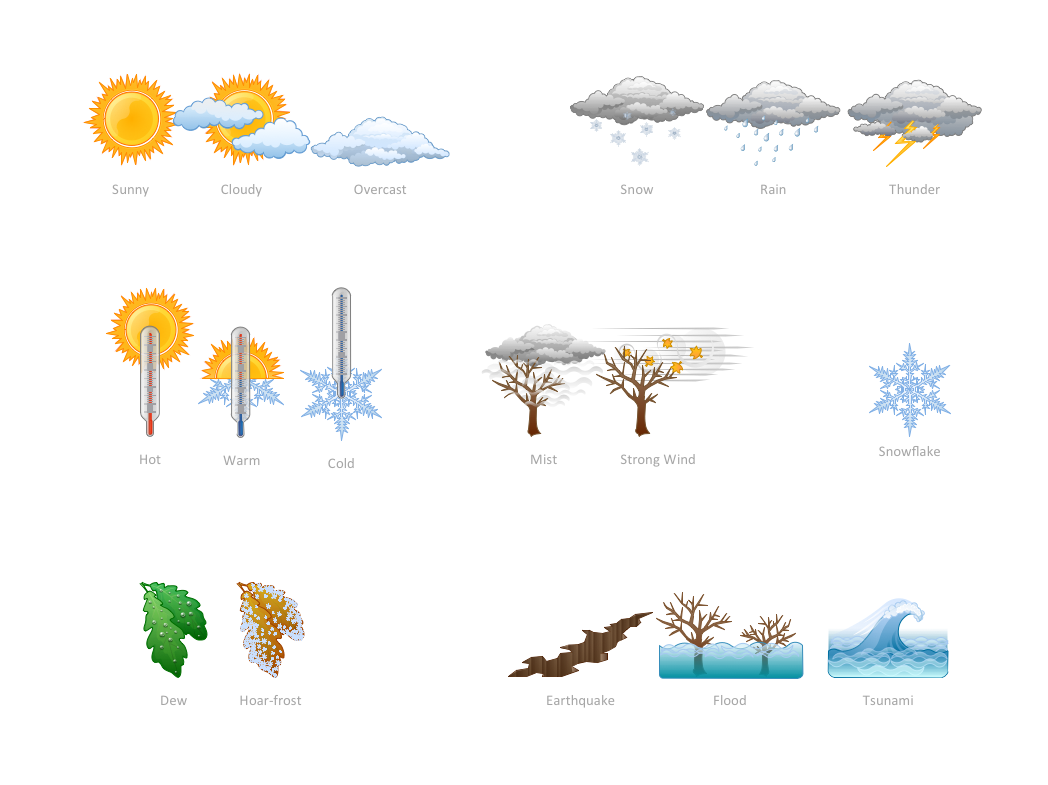
How can you illustrate the weather condition
Network Diagram Examples

Draw Network Diagram based on Templates and Examples
- How To Use Stencil In Geography
- Why To Use Stencil In Geography Paper
- Geography - Vector stencils library | How to Draw a Natural ...
- Geography - Vector stencils library | Design elements - Geography ...
- Geography - Vector stencils library | ConceptDraw Solution Park ...
- Design elements - Geography | Geography - Vector stencils library ...
- How to Draw a Natural Landscape | Geography - Vector stencils ...
- Www Example Of Geographical Location
- Geography - Vector stencils library | Lighting - Vector stencils library ...
- Ski lift in the snow capped mountains | Geography - Vector stencils ...
- Geography - Vector stencils library
- Geography - Vector stencils library | Rail transport - Design elements ...
- How to Draw a Map of North America Using ConceptDraw PRO ...
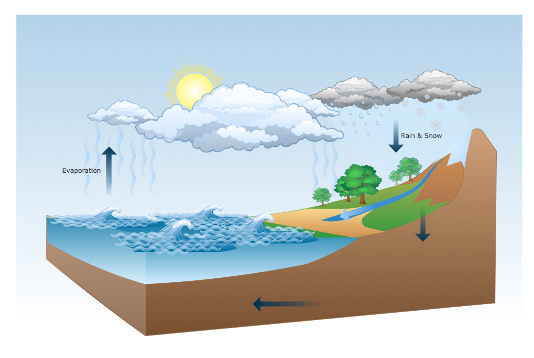
- Geography - Vector stencils library | Water cycle diagram | Flat ...
- Design elements - Map of US Mountain | Geography - Vector ...
- Waterfall Bar Chart | Geography - Vector stencils library | Data ...
- Beetles in the river Thames | Geography - Vector stencils library ...
- Geography - Vector stencils library | Waterfall Bar Chart | Design ...
- Geography - Vector stencils library | Wheelchair curling - Winter ...