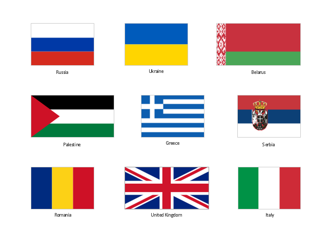
The vector clipart library "Flags" contains 213 flags of world countries.
Use the vector stencils library "Flags" for drawing you own illustrations, presentation slides and infographics using the ConceptDraw PRO diagramming and vector drawing software.
"A state flag is a variant of a national flag (or occasionally a completely different design) specifically designated and restricted by law or custom (theoretically or actually) to use by a country's government or its agencies. For this reason they are sometimes referred to as government flags. In many countries the state flag and the civil flag (as flown by the general public) are identical, but in other countries, notably those in Latin America, central Europe, and Scandinavia, the state flag is a more complex version of the national flag, often featuring the national coat of arms or some other emblem as part of the design. Scandinavian countries also use swallowtailed state flags, to further differentiate them from civil flags. In addition, some countries have state ensigns, separate flags for use by non-military government ships such as coast guard vessels. For example, government ships in the United Kingdom fly the blue ensign." [State flag. Wikipedia]
The vector clipart example "Design elements - Flags" is included in the Artwork solution from the Illustration area of ConceptDraw Solution Park.
Clip art
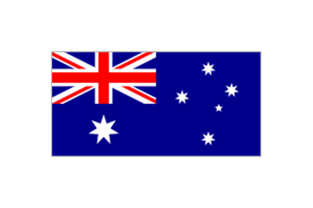
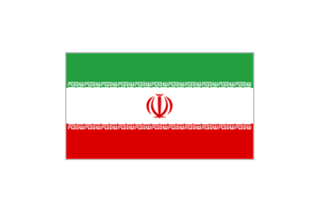
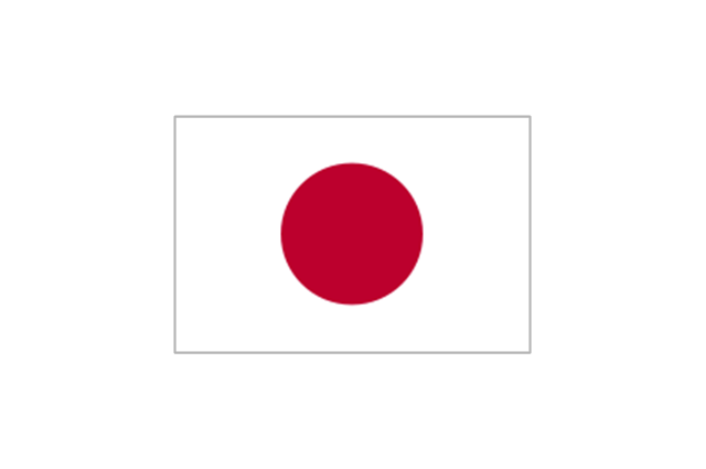
The vector stencils library "FIFA World Cup 2014 team flags" contains 32 FIFA World Cup 2014 team flags clipart.
Use these shapes to draw your FIFA World Cup infographics and illustrations in the ConceptDraw PRO diagramming and vector drawing software extended with the Soccer solution from the Sport area of ConceptDraw Solution Park.
www.conceptdraw.com/ solution-park/ sport-soccer
Use these shapes to draw your FIFA World Cup infographics and illustrations in the ConceptDraw PRO diagramming and vector drawing software extended with the Soccer solution from the Sport area of ConceptDraw Solution Park.
www.conceptdraw.com/ solution-park/ sport-soccer
Australia
Iran
Japan
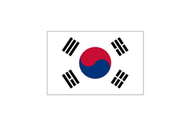
South Korea
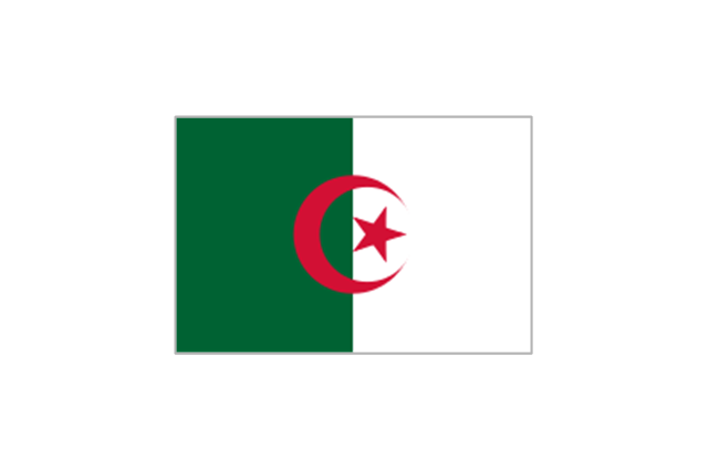
Algeria
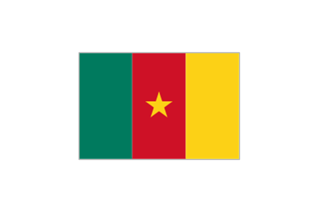
Cameroon
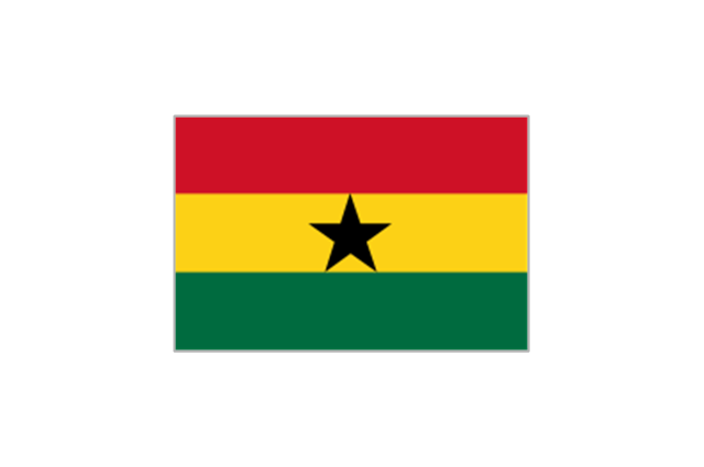
Ghana
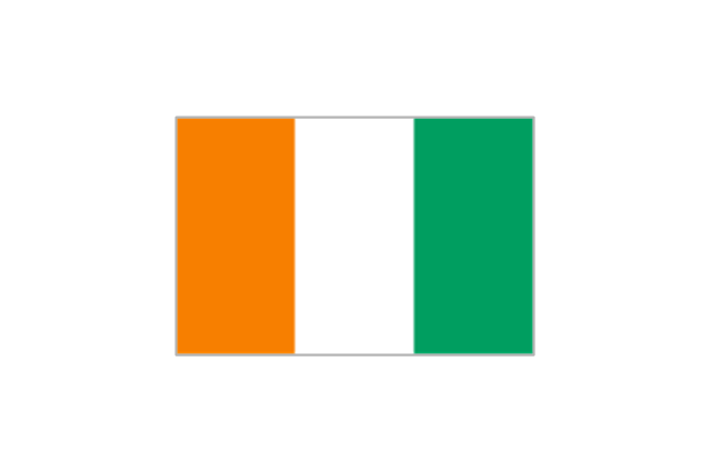
Ivory Coast
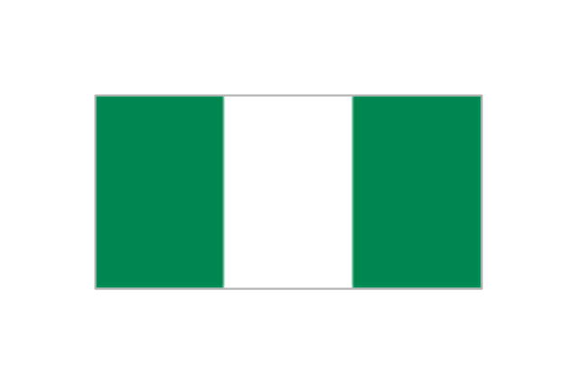
Nigeria
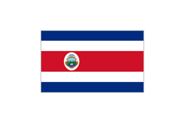
Costa Rica
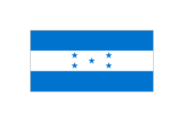
Honduras
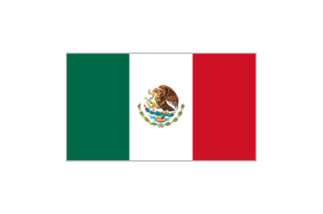
Mexico
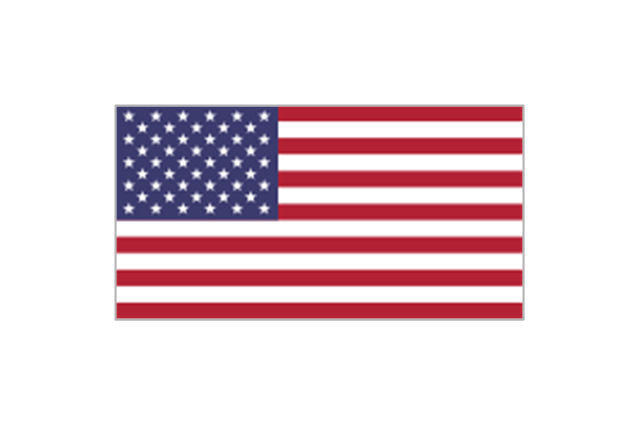
United States
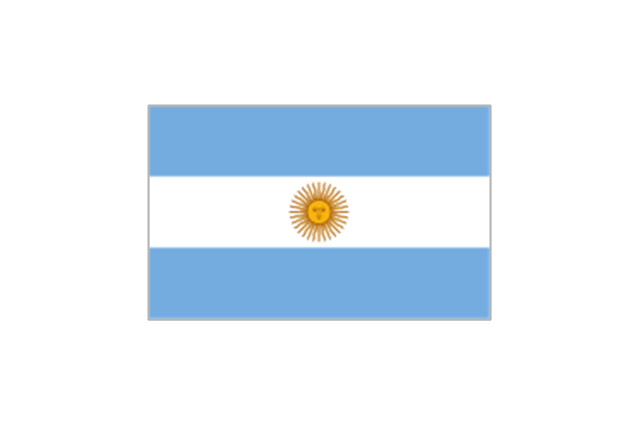
Argentina
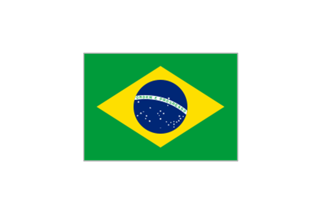
Brazil
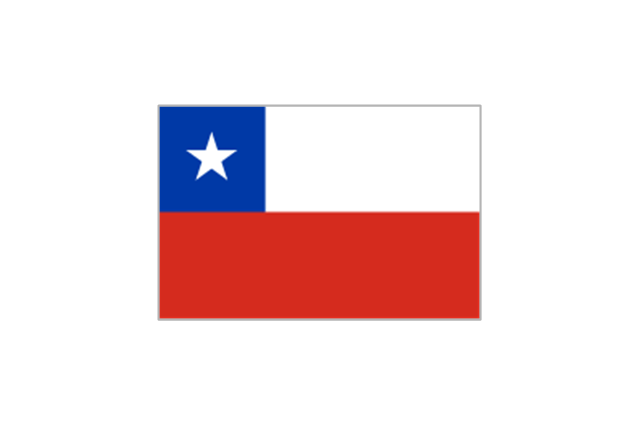
Chile
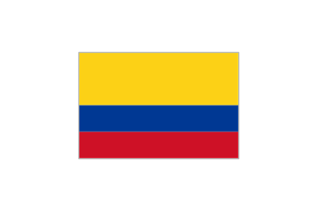
Colombia
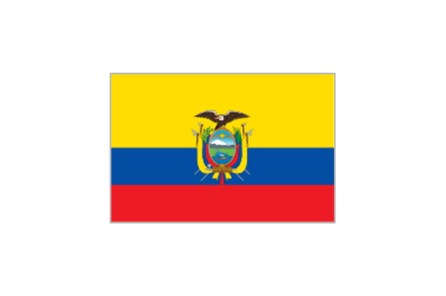
Ecuador
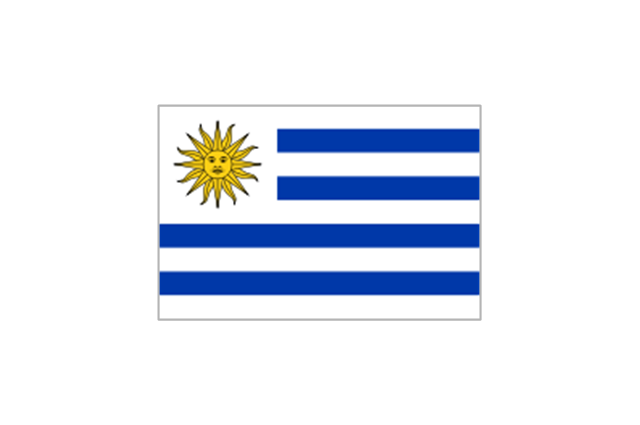
Uruguay
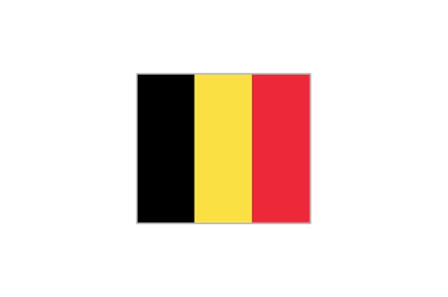
Belgium
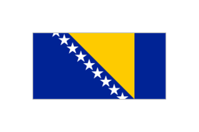
Bosnia and Herzegovina
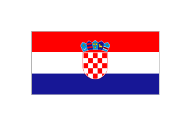
Croatia
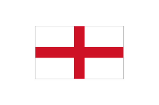
England
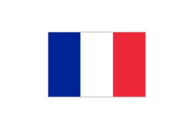
France
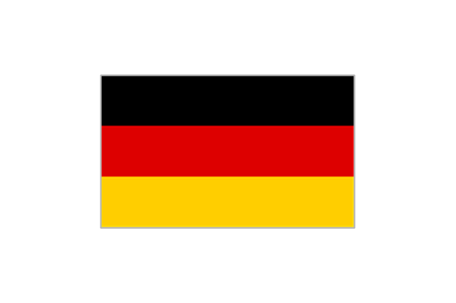
Germany
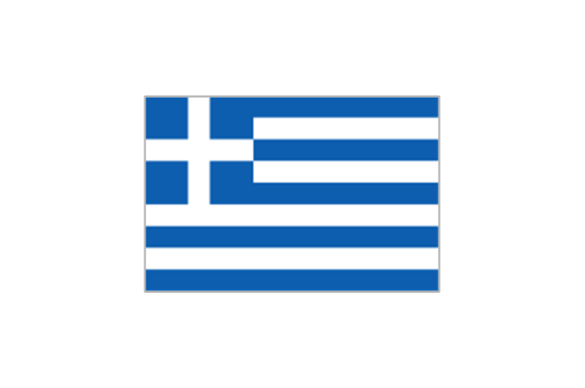
Greece
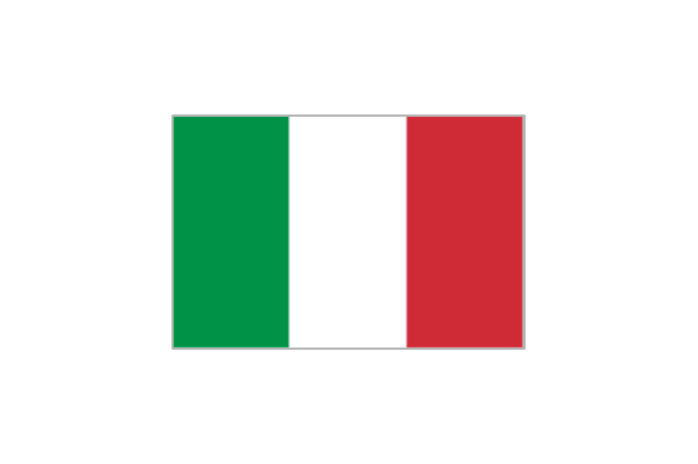
Italy
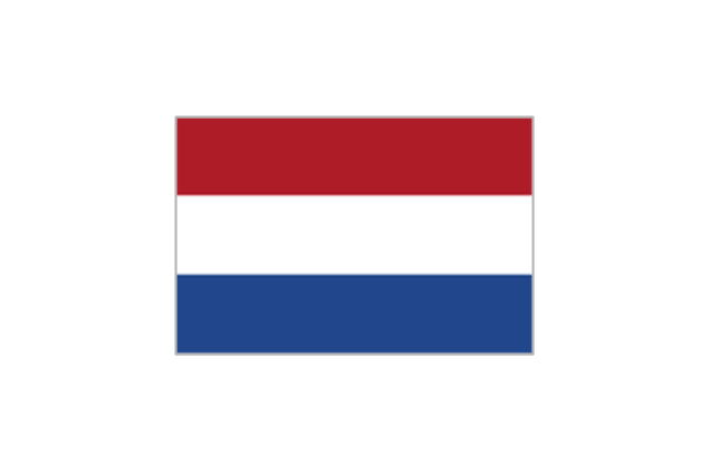
Netherlands
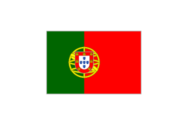
Portugal
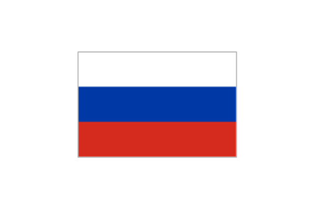
Russia
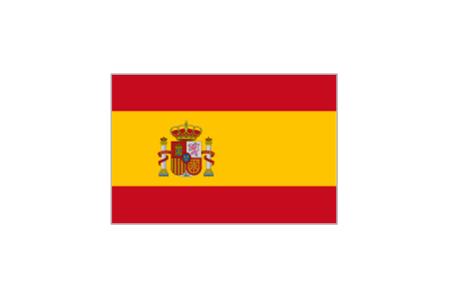
Spain
Switzerland

Map Software

Geo Map — Asia

Geo Map - Africa

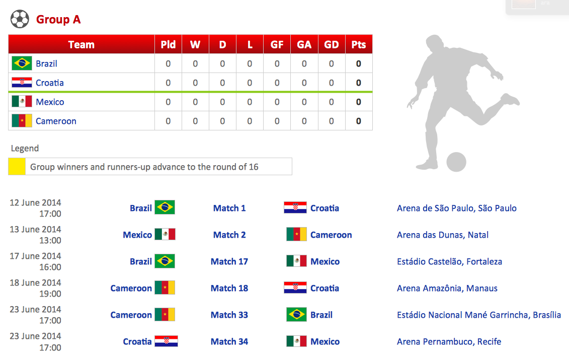
2014 FIFA World Cup
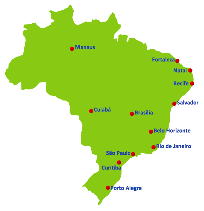
Geo Map — South America Continent

Continents Map

Map of Continents

Football – 2014 FIFA World Cup Standings Group
Geo Map - World

World Continents Map

Geo Map — United States of America Map

Geo Mapping Software Examples - World Map Outline

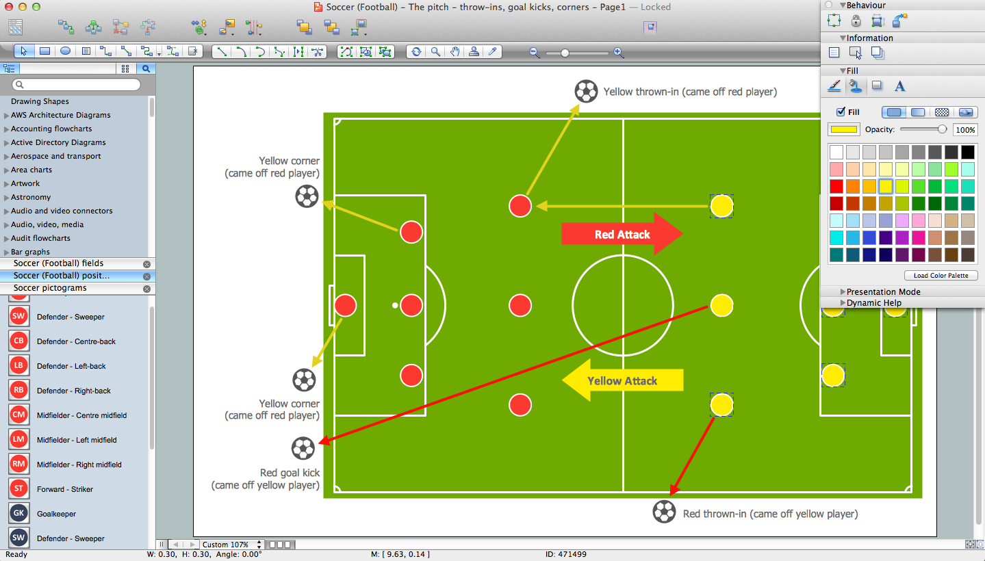
Soccer (Football) Diagram Software
Geo Map — Europe

Geo Map Software

Types of Map - Overview

 Continent Maps
Continent Maps solution extends ConceptDraw DIAGRAM software with templates, samples and libraries of vector stencils for drawing the thematic maps of continents, state maps of USA and Australia.
Geo Map of Americas

- Design elements - State flags | Who in the world eats chocolate ...
- Design elements - State flags | Africa flags - Stencils library | South ...
- Geo Map - Europe - Russia | FIFA World Cup 2014 team flags ...
- FIFA World Cup 2014 team flags - Vector stencils library | Asia flags ...
- Maps | Who in the world eats chocolate? | Design elements ...
- FIFA World Cup 2014 team flags - Vector stencils library | Football ...
- FIFA World Cup 2014 team flags - Vector stencils library | 2014 FIFA ...
- Geo Map - Africa - Ghana | FIFA World Cup 2014 team flags - Vector ...
- Geo Map - Europe - Spain | FIFA World Cup 2014 team flags ...
- Design elements - Asia flags | Asia flags - Stencils library | Design ...
- South America flags - Stencils library | Geo Map - South America ...
- North and Central America flags - Stencils library | Geo Map ...
- FIFA World Cup 2014 team flags - Vector stencils library
- Geo Map - Europe - Greece | FIFA World Cup 2014 team flags ...
- Geo Map - Europe - Serbia
- North and Central America flags - Stencils library | Political map of ...
- Asia flags - Stencils library | Geo Map - Asia | Asia flags - Stencils ...
- Geo Map - Asia
- 2014 FIFA World Cup
- Africa flags - Stencils library