Spatial infographics Design Elements: Continental Map
ConceptDraw PRO is a software for making infographics illustrations. You can work with various components to build really impressive and easy-to-understand infographics design.Continents Map
Designing of Continents Map is a quite complex and labour-intensive process. But now we have a way to make it easier - ConceptDraw PRO diagramming and vector drawing software extended with useful drawing tools of Continent Maps Solution from the Maps Area.
 Continent Maps
Continent Maps solution extends ConceptDraw PRO software with templates, samples and libraries of vector stencils for drawing the thematic maps of continents, state maps of USA and Australia.
Geo Map - Africa
Africa has 54 fully recognized sovereign states, 9 territories and two de facto independent states with limited or no recognition.Vector design elements library Africa contains country map contours, geographical maps, cartograms and thematic maps for ConceptDraw PRO diagramming and vector drawing software. To help visualize the business and thematic information connected with geographic areas, locations or customs.
All ConceptDraw PRO documents are vector graphic files and are available for reviewing, modifying, and converting to a variety of formats: image, HTML, PDF file, MS PowerPoint Presentation, Adobe Flash, MS Visio (.VDX, .VSDX).
Continents Map
Designing of Continents Map is a quite complex and labour-intensive process. But now we have a way to make it easier - ConceptDraw PRO diagramming and vector drawing software extended with useful drawing tools of Continent Maps Solution from the Maps Area.Types of Map - Overview
ConceptDraw defines some map types, divided into three categories. Every map type has specific shapes and examples.Geo Map - Africa - Morocco
Morocco, officially the Kingdom of Morocco, is a country in the Maghreb region of North Africa.The vector stencils library Morocco contains contours for ConceptDraw PRO diagramming and vector drawing software. This library is contained in the Continent Maps solution from Maps area of ConceptDraw Solution Park.
Geo Map - Africa - Tanzania
Tanzania, officially the United Republic of Tanzania (Swahili: Jamhuri ya Muungano wa Tanzania), is a country in East Africa in the African Great Lakes region.The vector stencils library Tanzania contains contours for ConceptDraw PRO diagramming and vector drawing software. This library is contained in the Continent Maps solution from Maps area of ConceptDraw Solution Park.
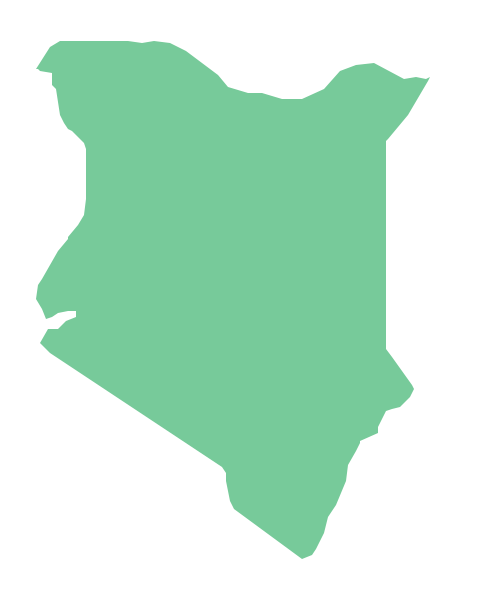
Geo Map - Africa - Kenya
Kenya, officially the Republic of Kenya, is a sovereign state in the African Great Lakes region of East Africa.The vector stencils library Kenya contains contours for ConceptDraw PRO diagramming and vector drawing software. This library is contained in the Continent Maps solution from Maps area of ConceptDraw Solution Park.
Map of Continents
A continent is one of several very large landmasses on Earth. ConceptDraw PRO diagramming and vector drawing software offers the unique Continent Maps Solution from the Maps Area which is indispensable for drawing the map of continents of the Earth.Geo Map - Africa - Uganda
Uganda, officially the Republic of Uganda, is a landlocked country in East Africa.The vector stencils library Uganda contains contours for ConceptDraw PRO diagramming and vector drawing software. This library is contained in the Continent Maps solution from Maps area of ConceptDraw Solution Park.
Geo Map - Africa - Senegal
Senegal, officially the Republic of Senegal, is a country in West Africa.The vector stencils library Senegal contains contours for ConceptDraw PRO diagramming and vector drawing software. This library is contained in the Continent Maps solution from Maps area of ConceptDraw Solution Park.
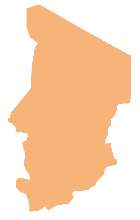
Geo Map - Africa - Chad
Chad, officially the Republic of Chad, is a landlocked country in Central Africa.The vector stencils library Chad contains contours for ConceptDraw PRO diagramming and vector drawing software. This library is contained in the Continent Maps solution from Maps area of ConceptDraw Solution Park.
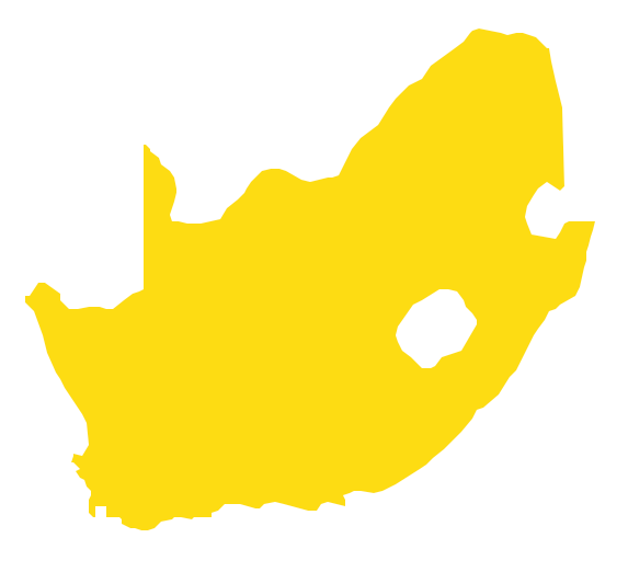
Geo Map - Africa - South Africa
South Africa, officially the Republic of South Africa, is a country located at the southern tip of Africa.The vector stencils library South Africa contains contours for ConceptDraw PRO diagramming and vector drawing software. This library is contained in the Continent Maps solution from Maps area of ConceptDraw Solution Park.
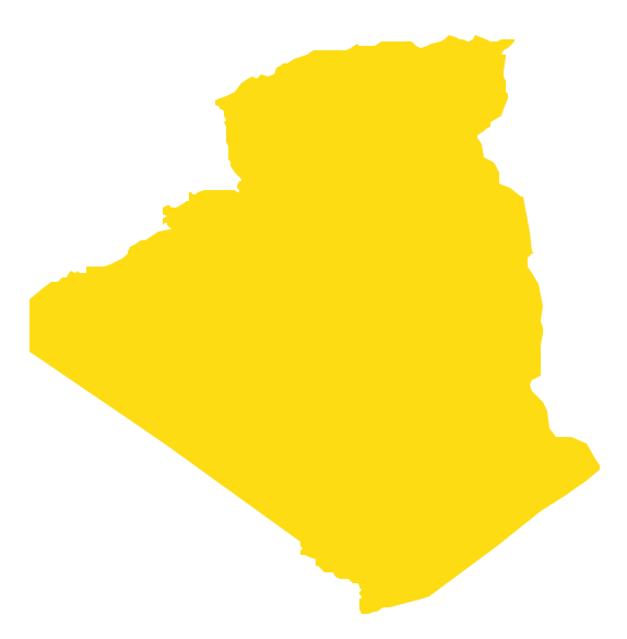
Geo Map - Africa - Algeria
Algeria, officially The People's Democratic Republic of Algeria, is a country in the Maghreb region of North Africa on the Mediterranean coast.The vector stencils library Algeria contains contours for ConceptDraw PRO diagramming and vector drawing software. This library is contained in the Continent Maps solution from Maps area of ConceptDraw Solution Park.
- Drawing Of A Map Of East Africa
- Sample Of Map Of Africa
- Sample Of African Map
- Geo Map - Africa - Rwanda | Infographic software: the sample of ...
- Africa Map Downloading Sample Downloading
- Lecture theatre | Geo Map - Africa | Sample Of Building Plan For ...
- Geo Map - Africa - Rwanda | Design elements - 3D directional maps ...
- Sample Drawing Of The Continents
- Sample Schematic Parking Map
- Geo Map - Africa
- Geo Map - Africa - Congo DRC | Rdc Congo Map
- Geo Map - Asia - Philippines | Sample Pictorial Chart. Sample ...
- Geo Map - Africa - Somalia | Bar Chart Examples | Chart Software for ...
- Example Of Map Drawing
- Site Plan Sample Used In Nigeria
- Geo Map - Africa | Horizontal Flowchart | Pictures of Vegetables ...
- Geo Map - Africa - Kenya | Cisco Network Diagram Software | Geo ...
- Southern Cone - Political map | South America regions - Political ...
- Geo Map - Africa - Uganda | Geo Map - South America Continent ...
- Rainfall Bar Chart | Geo Map - Africa - Senegal | Geo Map - Africa ...
- ERD | Entity Relationship Diagrams, ERD Software for Mac and Win
- Flowchart | Basic Flowchart Symbols and Meaning
- Flowchart | Flowchart Design - Symbols, Shapes, Stencils and Icons
- Flowchart | Flow Chart Symbols
- Electrical | Electrical Drawing - Wiring and Circuits Schematics
- Flowchart | Common Flowchart Symbols
- Flowchart | Common Flowchart Symbols


