Geo Map - Africa - Tunisia
Maps of Africa - Tunisian Republic
"Tunisia, officially the Tunisian Republic, is a country in the Maghreb region of North Africa. It is the smallest country in North Africa by land area and is bordered by Algeria to the west, Libya to the southeast and the Mediterranean Sea to the north and east. Tunisia is the northernmost country in Africa, with the northernmost point on the African continent, Ras ben Sakka. Tunisia contains the eastern streamers of the Atlas Mountains, while the south of the country contains the northern reaches of the Sahara desert. The country's coasts represent the natural African conjunction between the Western and Eastern Mediterranean Basins, and feature the second and third nearest points of mainland Africa to Europe after Gibraltar, by means of the Sicilian Strait to the northeast and the Sardinian Channel to the northwest." [Tunisia. Wikipedia]
The vector stencils library Tunisia contains contours for ConceptDraw DIAGRAM diagramming and vector drawing software. This library is contained in the Continent Maps solution from Maps area of ConceptDraw Solution Park.

Use the Tunisia library to draw thematic maps, geospatial infographics and vector illustrations for your business documents, presentations and websites.
Geo Map - Africa - Tunisian Republic
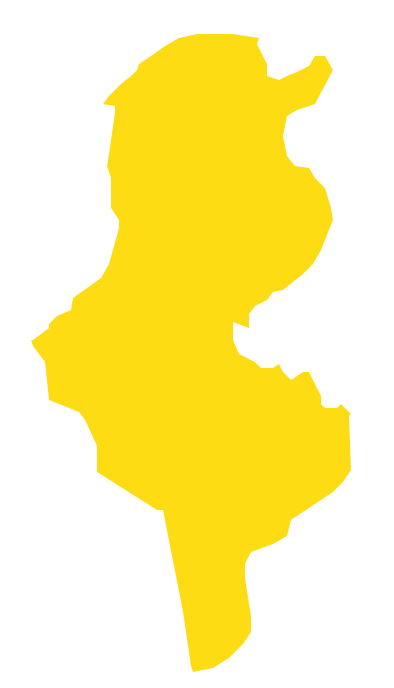
Geo Map - Africa - Tunisia Contour

Geo Map - Africa

Geo Map - Africa Contour

Geo Map - contours of Africa countries

See also Geo Maps of Africa Countries :
- Algeria
- Angola
- Benin
- Botswana
- Burkina Faso
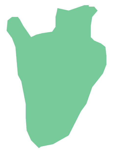
- Burundi
- Cameroon
- Central African Republic
- Chad
- Congo
- Congo DRC
- Cote d'Ivoire
- Djibouti
- Egypt
- Equatorial Guinea
- Eritrea
- Ethiopia
- Gabon
- Gambia
- Ghana
- Guinea
- Guinea Bissau
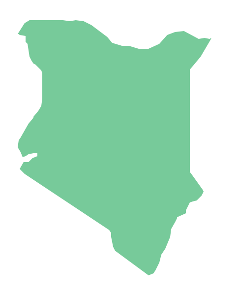
- Kenya
- Lesotho
- Liberia
- Libya
- Madagascar
- Malawi
- Mali
- Mauritania
- Morocco
- Mozambique
- Namibia
- Niger
- Nigeria
- Rwanda
- Senegal
- Sierra Leone
- Somalia
- South Africa
- South Sudan
- Sudan
- Swaziland
- Tanzania
- Togo
- Tunisia
- Uganda
- Western Sahara
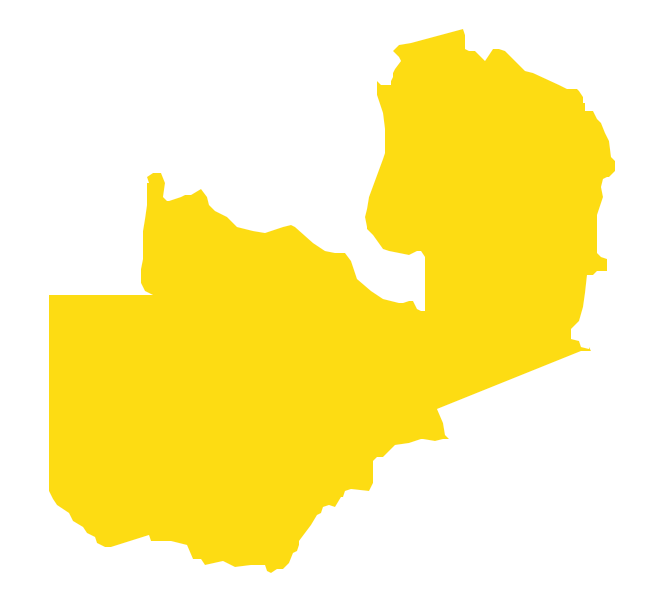
- Zambia
- Zimbabwe