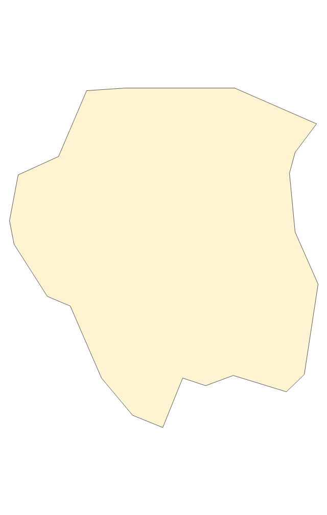
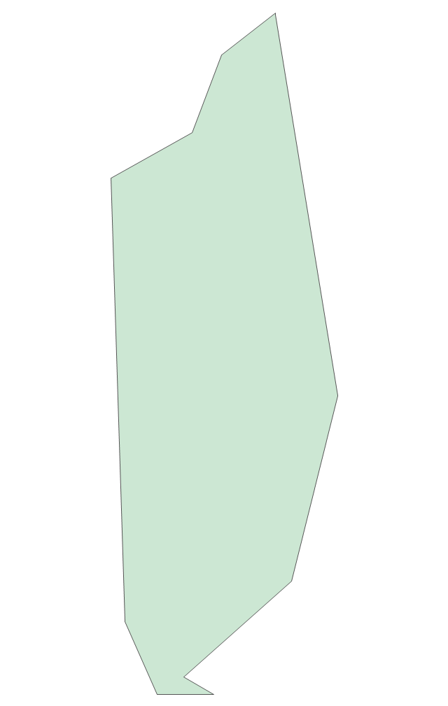
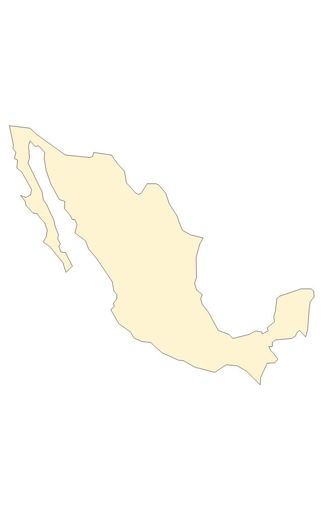
Geo Map - South America - Mexico

The vector stencils library Mexico contains contours for ConceptDraw PRO diagramming and vector drawing software. This library is contained in the Continent Maps solution from Maps area of ConceptDraw Solution Park.
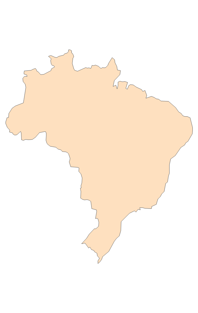
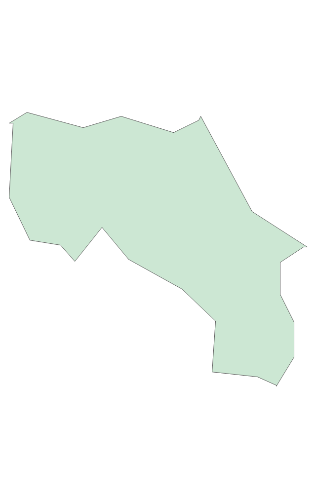
Geo Map - South America - Brazil

The vector stencils library Brazil contains contours for ConceptDraw PRO diagramming and vector drawing software. This library is contained in the Continent Maps solution from Maps area of ConceptDraw Solution Park.
The vector stencils library "Latin America" contains 30 country contours for drawing thematic maps of Latin America.
Use it in your spatial infographics for visual representation of geospatial information, statistics and quantitative data in the ConceptDraw PRO diagramming and vector drawing software extended with the Spatial Infographics solution from the area "What is Infographics" of ConceptDraw Solution Park.
Use it in your spatial infographics for visual representation of geospatial information, statistics and quantitative data in the ConceptDraw PRO diagramming and vector drawing software extended with the Spatial Infographics solution from the area "What is Infographics" of ConceptDraw Solution Park.
Latin America

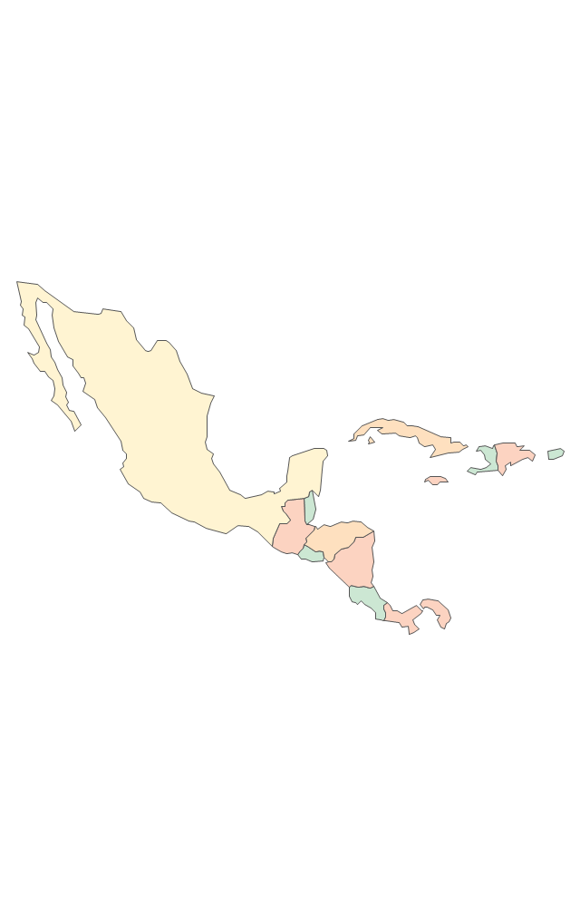
North America, Central America and the Caribbean

South America

Argentina

Belize

Bolivia

Brazil

Chile

Colombia

Costa Rica

Cuba

Dominican Republic

Ecuador

El Salvador

French Guiana

Guatemala

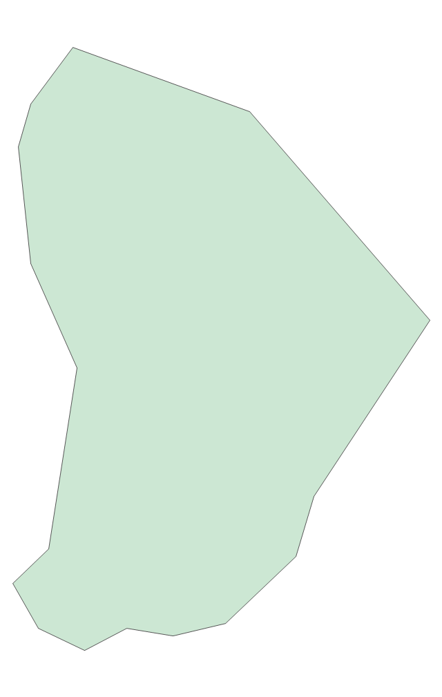
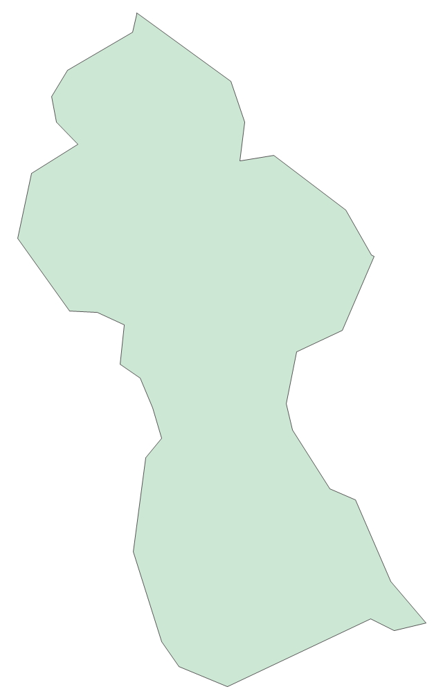
Guyana

Haiti

Honduras

Jamaica

Mexico

Nicaragua

Panama

Paraguay

Peru

Puerto Rico

Suriname

Trinidad and Tobago

Uruguay

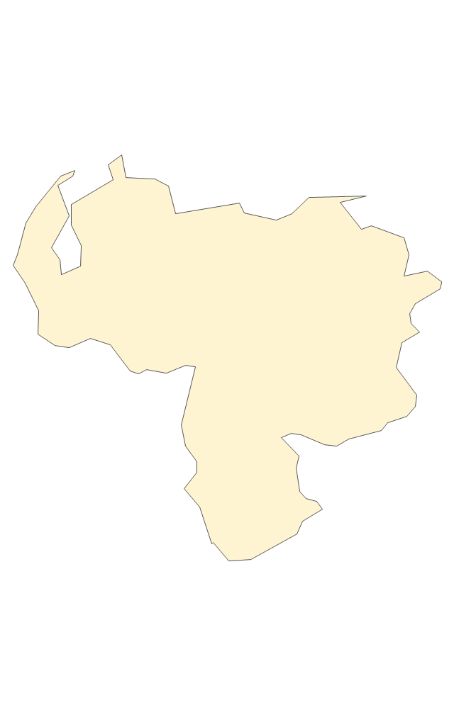
Venezuela

The vector stencils library "Management maps" contains 44 map contours: G-20 state maps, EU state maps and world map.
Use it to create your management infogram in the ConceptDraw PRO diagramming and vector drawing software.
The state map contours example "Management maps - Vector stencils library" is included in the solution "Marketing infographics" from the "Business infographics" area of ConceptDraw Solution Park.
World map

Argentina

Australia

Austria

Belgium

Brazil

Bulgaria

Canada

China

Croatia

Cyprus

Czech Republic

Denmark

Estonia

Finland

France

Germany

Greece

Hungary

Indonesia

India

Ireland

Italy

Latvia

Japan

Lithuania

Luxembourg

Malta

Mexico

Poland

Portugal

Romania

Russia

Saudi Arabia

Slovakia

Slovenia

South Africa

South Korea

Spain

Sweden

The Netherlands

Turkey

United Kingdom

United States

The vector stencils library "Education maps" contains 44 map contours: G-20 state maps, EU state maps and world map.
Use it to visualize geospatial information in your education infograms.
The vector stencils library "Education maps" is included in the Education Infographics solution from the Business Infographics area of ConceptDraw Solution Park.
Use it to visualize geospatial information in your education infograms.
The vector stencils library "Education maps" is included in the Education Infographics solution from the Business Infographics area of ConceptDraw Solution Park.
World map

Argentina

Australia

Austria

Belgium

Brazil

Bulgaria

Canada

China

Croatia

Cyprus

Czech Republic

Denmark

Estonia

Finland

France

Germany

Greece

Hungary

India

Indonesia

Ireland

Italy

Japan

Latvia

Lithuania

Luxembourg

Malta

Mexico

Poland

Portugal

Romania

Russia

Saudi Arabia

Slovakia

Slovenia

South Africa

South Korea

Spain

Sweden

The Netherlands

Turkey

United Kingdom

United States

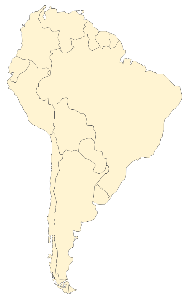
The vector stencils library "South America" contains 29 state map contours for drawing thematic maps of South America. Use it for visual representation of geospatial information, statistics and quantitative data.
"South America is a continent located in the Western Hemisphere, mostly in the Southern Hemisphere, with a relatively small portion in the Northern Hemisphere. ...
It is bordered on the west by the Pacific Ocean and on the north and east by the Atlantic Ocean; North America and the Caribbean Sea lie to the northwest. It includes twelve sovereign states - Argentina, Bolivia, Brazil, Chile, Colombia, Ecuador, Guyana, Paraguay, Peru, Suriname, Uruguay, and Venezuela - and two non-sovereign areas - French Guiana, an overseas department of France, and the Falkland Islands, a British Overseas Territory (nonetheless claimed by Argentina). In addition to this, the ABC islands of the Netherlands may also be considered part of South America." [South America. Wikipedia]
The state map contours example "South America - Vector stencils library" was created using the ConceptDraw PRO diagramming and vector drawing software extended with the Continent Maps solution from the Maps area of ConceptDraw Solution Park.
South America
Central America
Argentina
Bolivia
Brazil
Chile
Colombia
Ecuador
French Guiana
Guyana
Paraguay
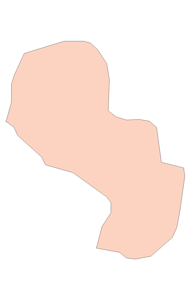
Peru
Suriname
Uruguay
Venezuela
Trinidad and Tobago
Belize
Costa Rica
Cuba
Dominican Republic
El Salvador
Guatemala
Haiti
Honduras
Jamaica
Mexico
Nicaragua
Panama
Puerto Rico
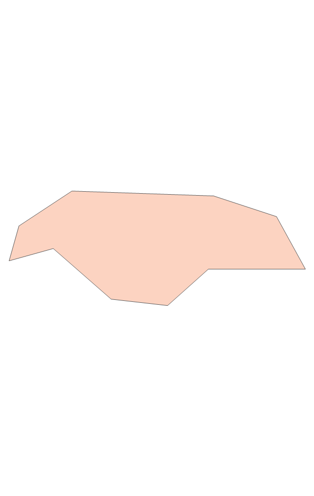
Geo Map - South America - Belize

The vector stencils library Belize contains contours for ConceptDraw PRO diagramming and vector drawing software. This library is contained in the Continent Maps solution from Maps area of ConceptDraw Solution Park.
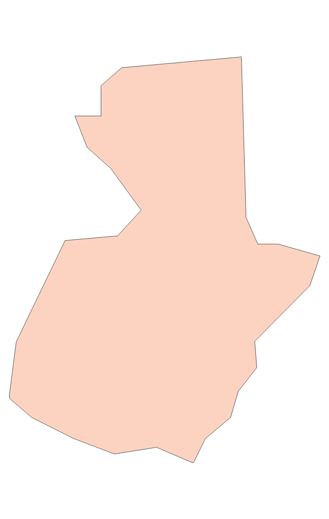
Geo Map - South America - Guatemala

The vector stencils library Guatemala contains contours for ConceptDraw PRO diagramming and vector drawing software. This library is contained in the Continent Maps solution from Maps area of ConceptDraw Solution Park.
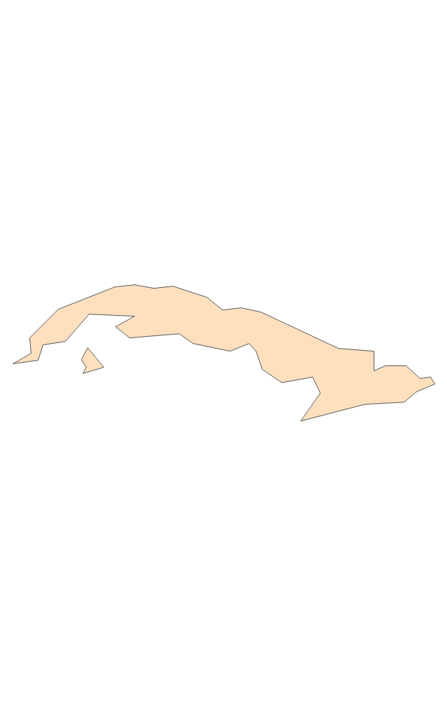
Geo Map - South America - Cuba

The vector stencils library Cuba contains contours for ConceptDraw PRO diagramming and vector drawing software. This library is contained in the Continent Maps solution from Maps area of ConceptDraw Solution Park.
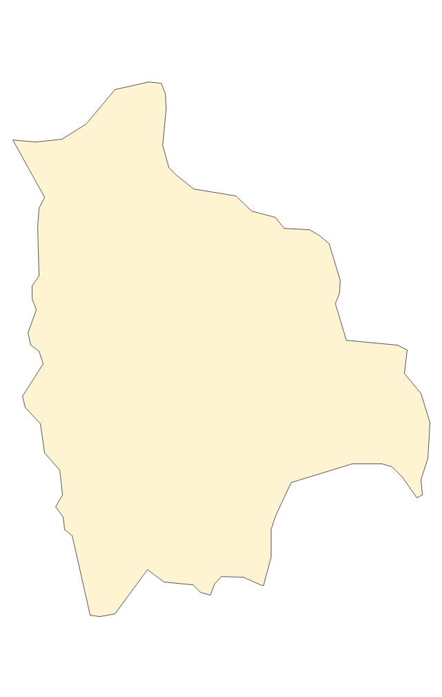
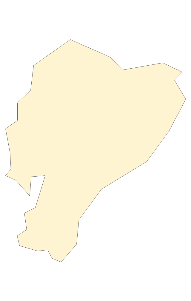
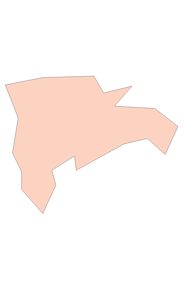
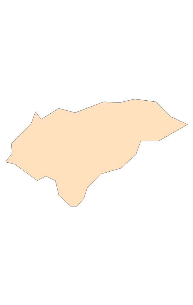
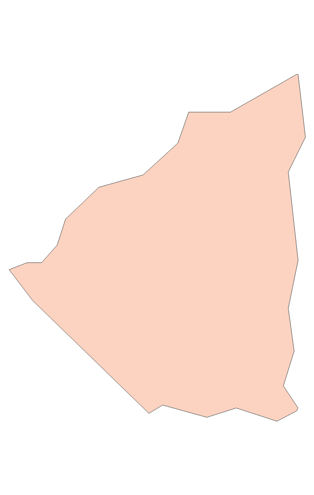
Geo Map - South America - Bolivia

The vector stencils library Bolivia contains contours for ConceptDraw PRO diagramming and vector drawing software. This library is contained in the Continent Maps solution from Maps area of ConceptDraw Solution Park.
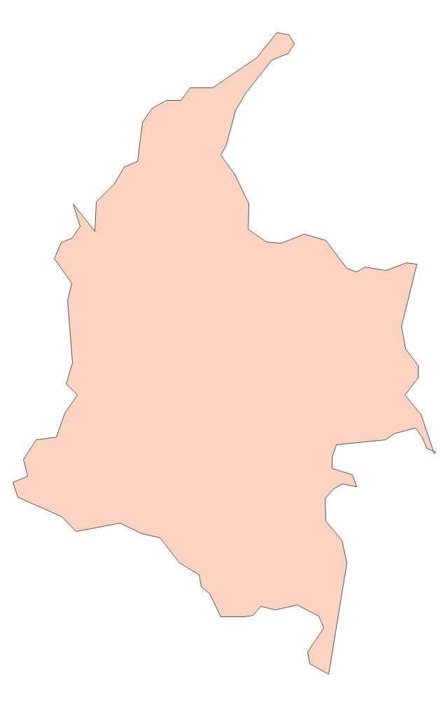
Geo Map - South America - Colombia

The vector stencils library Colombia contains contours for ConceptDraw PRO diagramming and vector drawing software. This library is contained in the Continent Maps solution from Maps area of ConceptDraw Solution Park.
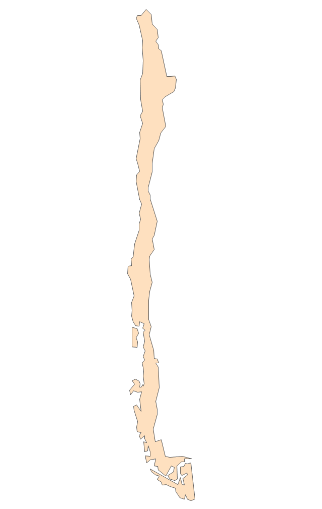
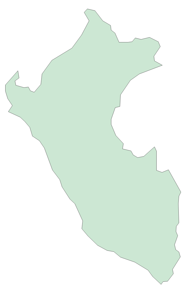
Geo Map - South America - Peru

The history of Peru goes back to the distant past and its divided into several main stages. Geography of Peru is also diverse - there is a desert, as well as the ocean coast, and of course the mountain ranges.
The Continent Maps solution from Maps area of ConceptDraw Solution Park provides stencil library Peru, which is made up of well-designed vector shapes delivering easy experience in creating diagrams with ConceptDraw Pro software.
All ConceptDraw PRO documents are vector graphic files and are available for reviewing, modifying, and converting to a variety of formats: image, HTML, PDF file, MS PowerPoint Presentation, Adobe Flash, MS Visio (.VDX, .VSDX).
Geo Map - South America - Paraguay

The vector stencils library Paraguay contains contours for ConceptDraw PRO diagramming and vector drawing software. This library is contained in the Continent Maps solution from Maps area of ConceptDraw Solution Park.
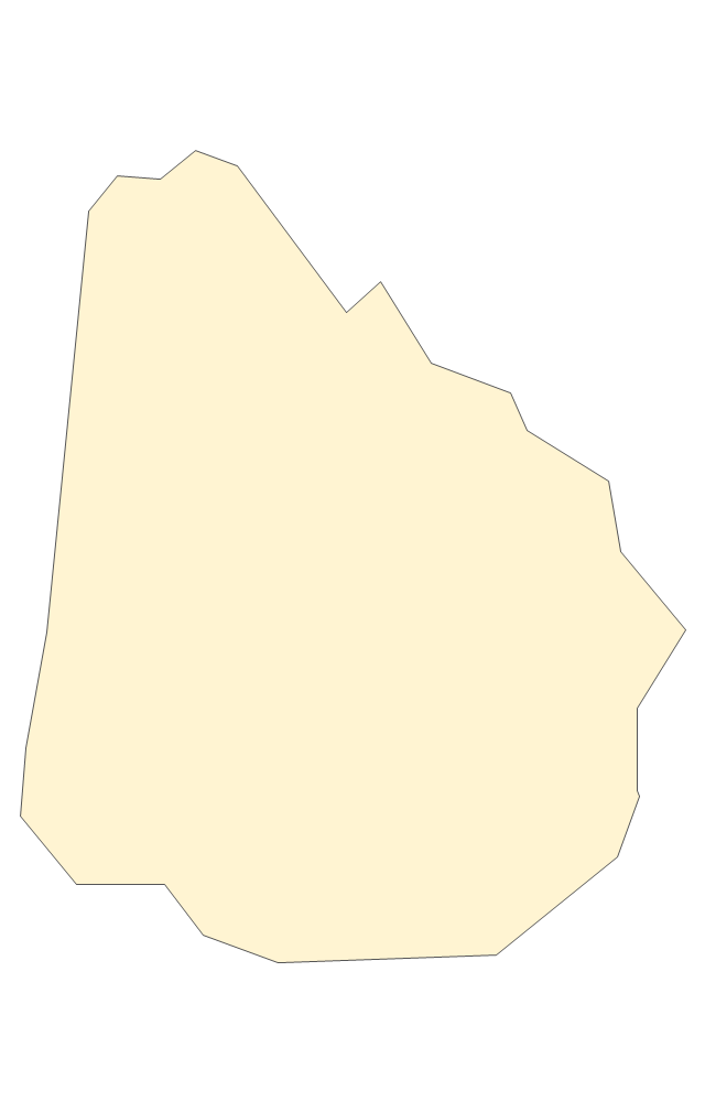
Geo Map - South America - Uruguay

The vector stencils library Uruguay contains contours for ConceptDraw PRO diagramming and vector drawing software. This library is contained in the Continent Maps solution from Maps area of ConceptDraw Solution Park.
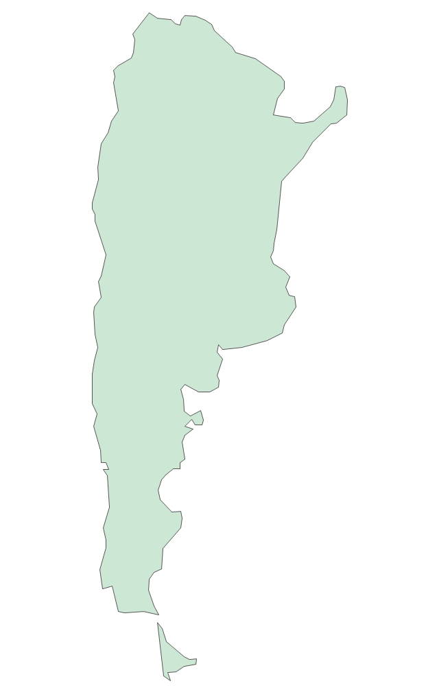
Geo Map - South America - Argentina

The vector stencils library Argentina contains contours for ConceptDraw PRO diagramming and vector drawing software. This library is contained in the Continent Maps solution from Maps area of ConceptDraw Solution Park.
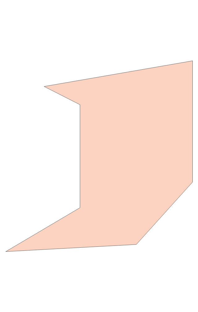
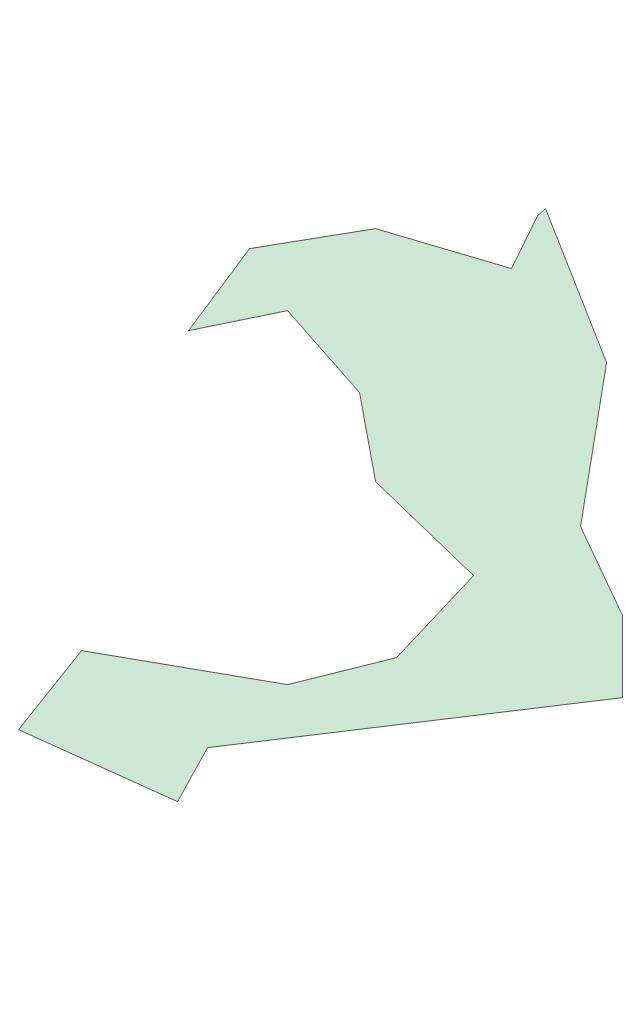
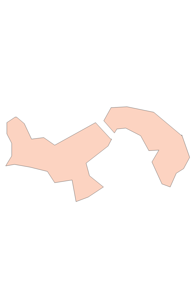
Geo Map - South America - French Guiana

The vector stencils library French Guiana contains contours for ConceptDraw PRO diagramming and vector drawing software. This library is contained in the Continent Maps solution from Maps area of ConceptDraw Solution Park.
The vector stencils library "Marketing maps" contains 44 state map contours with capitals and major cities: the Group of Twenty (G20) state maps, EU state maps and World map.
Use it to visualize geospatial information in your marketing infograms.
"The Group of Twenty (also known as the G-20 or G20) is a forum for the governments and central bank governors from 20 major economies. The members, shown highlighted on the map at right, include 19 individual countries—Argentina, Australia, Brazil, Canada, China, France, Germany, India, Indonesia, Italy, Japan, Republic of Korea, Mexico, Russian Federation, Saudi Arabia, South Africa, Turkey, United Kingdom, United States—and the European Union (EU). The EU is represented by the European Commission and by the ECB." [G-20 major economies. Wikipedia]
The G-20 state map contours example "Design elements - Marketing maps (G-20)" was created using the ConceptDraw PRO diagramming and vector drawing software extended with the Marketing Infographics solition from the area "Business Infographics" in ConceptDraw Solution Park.
The Group of Twenty (G-20) state maps
-state-maps-design-elements---marketing-maps-(g-20).png--diagram-flowchart-example.png)
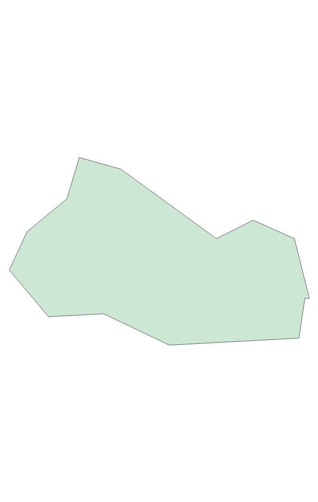
Geo Map - South America - Suriname

The vector stencils library Suriname contains contours for ConceptDraw PRO diagramming and vector drawing software. This library is contained in the Continent Maps solution from Maps area of ConceptDraw Solution Park.
Geo Map - South America Continent

ConceptDraw PRO is idea to draw the geological maps of South America continent from the pre-designed vector geo map shapes.
Use Continent Maps solution from the Maps area of ConceptDraw Solution Park to draw thematic maps, geospatial infographics and vector illustrations for your business documents, presentations and websites.
Geo Map - South America - Honduras

The vector stencils library Honduras contains contours for ConceptDraw PRO diagramming and vector drawing software. This library is contained in the Continent Maps solution from Maps area of ConceptDraw Solution Park.
- Geo Map - South America - Mexico | Geo Map - USA - New Mexico ...
- Geo Map - World
- Geo Map - South America - Mexico | Geo Map - South America | Geo ...
- Geo Map - South America - French Guiana | South America - Vector ...
- Political map of Central America
- Geo Map - South America - Mexico | South America - Vector stencils ...
- Geo Map - South America - Brazil | Geo Map - South America | Geo ...
- Geo Map - World
- Languages of South America map | Brazil in South America map ...
- Geo Map - South America - Brazil
- Brazil in South America map | Geo Map - South America - Paraguay ...
- Cuba In South America Map
- Geo Map - South America
- Geo Map - South America
- Geo Map - South America
- Mexico Map Contour
- North America Map
- America States Map
- Geo Map - South America
- Geo Map - America