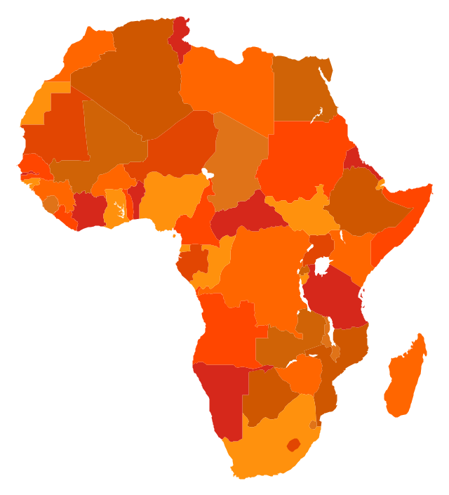
Geo Map - Africa

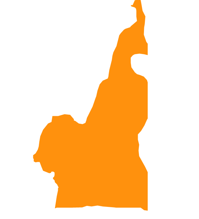
Geo Map - Africa - Chad

Business People Figures

The stencils library "Africa flags" contains 61 clipart images of Africa state flags.
"These are the various flags of Africa.
1. Supernational and international flags:
Flag of the African Union, Flag of the East African Community, Flag of the OPEC, Flag of the Arab League, Flag of the Organisation of the Islamic Conference, Pan-African flag (not in official use).
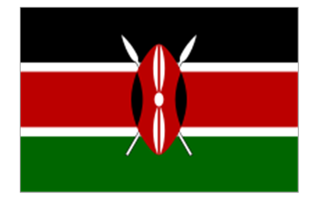
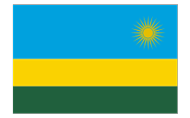
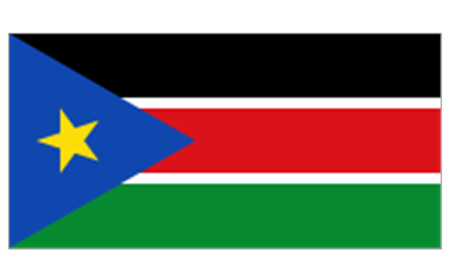
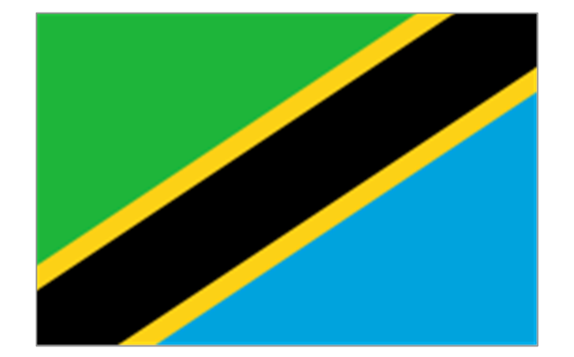
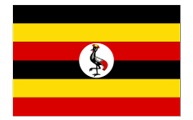
2. African Great Lakes: Flag of Burundi, Flag of Kenya, Flag of Rwanda, Flag of South Sudan, Flag of Tanzania, Flag of Uganda.
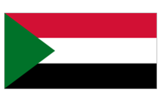
3. Central Africa: Flag of Angola, Flag of Cameroon, Flag of the Central African Republic, Flag of Chad, Flag of the Democratic Republic of the Congo, Flag of the Republic of the Congo, Flag of Equatorial Guinea, Flag of Gabon, Flag of Sao Tome and Principe, Flag of Sudan.
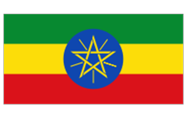
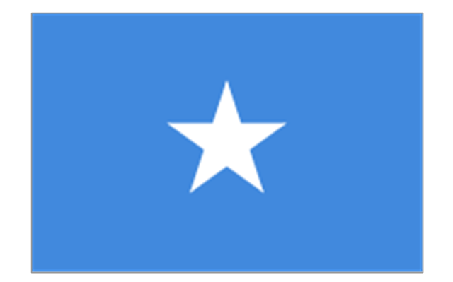
4. Horn of Africa: Flag of Djibouti, Flag of Eritrea, Flag of Ethiopia, Flag of Somalia.
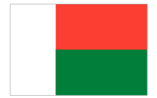
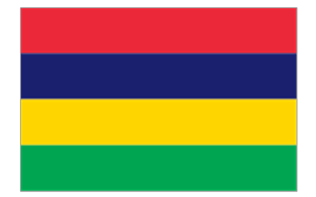
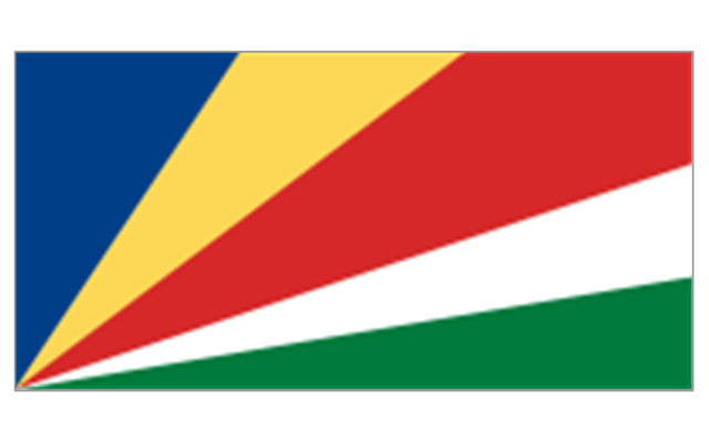
5. Indian Ocean islands: Flag of Comoros, Flag of Madagascar, Flag of Mauritius, Unofficial Flag of Mayotte (France), Flag of Reunion (France), Flag of the Seychelles.
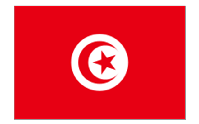
6. North Africa: Flag of Algeria, Flag of the Canary Islands (Spain), Flag of Ceuta (Spain), Flag of Egypt, Flag of Libya, Flag of Madeira (Portugal), Flag of Melilla (Spain), Flag of Morocco, Flag of Tunisia, Flag of the Sahrawi Arab Democratic Republic.
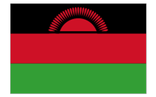
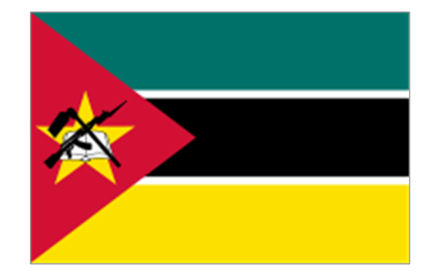
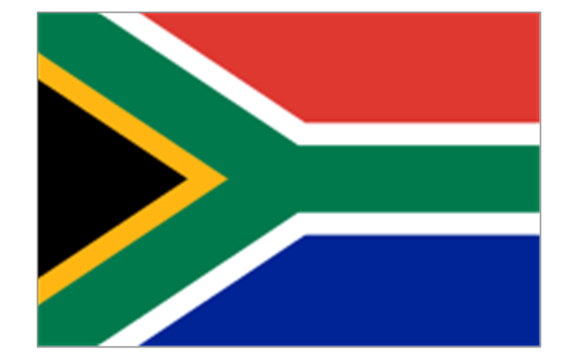
7. Southern Africa: Flag of Botswana, Flag of Lesotho, Flag of Malawi, Flag of Mozambique, Flag of Namibia, Flag of South Africa, Flag of Swaziland, Flag of Zambia, Flag of Zanzibar (Tanzania), Flag of Zimbabwe.
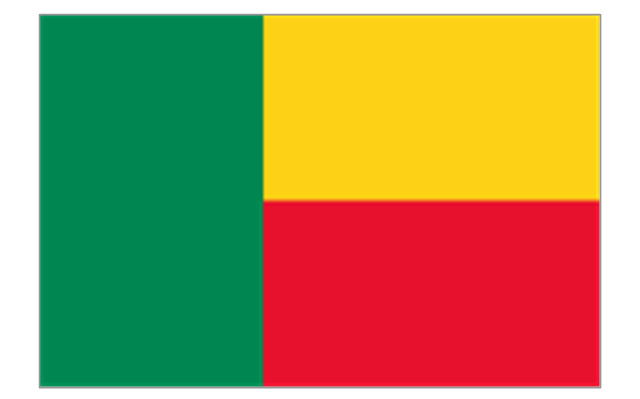
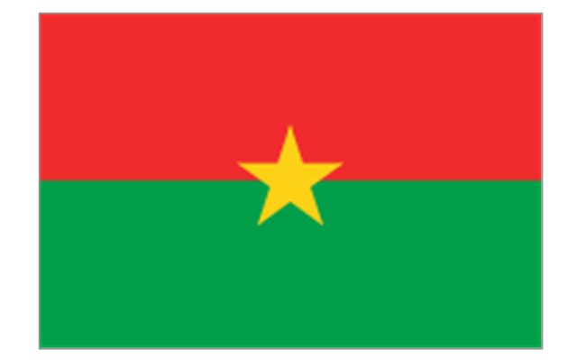
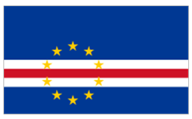
8. West Africa: Flag of Ascension Island (United Kingdom), Flag of Benin, Flag of Burkina Faso, Flag of Cape Verde, Flag of The Gambia, Flag of Ghana, Flag of Guinea, Flag of Guinea-Bissau, Flag of Ivory Coast, Flag of Liberia, Flag of Mali, Flag of Mauritania, Flag of Niger, Flag of Nigeria, Flag of Saint Helena (United Kingdom), Flag of Senegal, Flag of Sierra Leone, Flag of Togo, Flag of Tristan da Cunha (United Kingdom)." [Flags of Africa. Wikipedia]
The clip art example "Africa flags - Stencils library" was created using the ConceptDraw PRO diagramming and vector drawing software extended with the Continent Maps solution from the Maps area of ConceptDraw Solution Park.
"These are the various flags of Africa.
1. Supernational and international flags:
Flag of the African Union, Flag of the East African Community, Flag of the OPEC, Flag of the Arab League, Flag of the Organisation of the Islamic Conference, Pan-African flag (not in official use).
2. African Great Lakes: Flag of Burundi, Flag of Kenya, Flag of Rwanda, Flag of South Sudan, Flag of Tanzania, Flag of Uganda.
3. Central Africa: Flag of Angola, Flag of Cameroon, Flag of the Central African Republic, Flag of Chad, Flag of the Democratic Republic of the Congo, Flag of the Republic of the Congo, Flag of Equatorial Guinea, Flag of Gabon, Flag of Sao Tome and Principe, Flag of Sudan.
4. Horn of Africa: Flag of Djibouti, Flag of Eritrea, Flag of Ethiopia, Flag of Somalia.
5. Indian Ocean islands: Flag of Comoros, Flag of Madagascar, Flag of Mauritius, Unofficial Flag of Mayotte (France), Flag of Reunion (France), Flag of the Seychelles.
6. North Africa: Flag of Algeria, Flag of the Canary Islands (Spain), Flag of Ceuta (Spain), Flag of Egypt, Flag of Libya, Flag of Madeira (Portugal), Flag of Melilla (Spain), Flag of Morocco, Flag of Tunisia, Flag of the Sahrawi Arab Democratic Republic.
7. Southern Africa: Flag of Botswana, Flag of Lesotho, Flag of Malawi, Flag of Mozambique, Flag of Namibia, Flag of South Africa, Flag of Swaziland, Flag of Zambia, Flag of Zanzibar (Tanzania), Flag of Zimbabwe.
8. West Africa: Flag of Ascension Island (United Kingdom), Flag of Benin, Flag of Burkina Faso, Flag of Cape Verde, Flag of The Gambia, Flag of Ghana, Flag of Guinea, Flag of Guinea-Bissau, Flag of Ivory Coast, Flag of Liberia, Flag of Mali, Flag of Mauritania, Flag of Niger, Flag of Nigeria, Flag of Saint Helena (United Kingdom), Flag of Senegal, Flag of Sierra Leone, Flag of Togo, Flag of Tristan da Cunha (United Kingdom)." [Flags of Africa. Wikipedia]
The clip art example "Africa flags - Stencils library" was created using the ConceptDraw PRO diagramming and vector drawing software extended with the Continent Maps solution from the Maps area of ConceptDraw Solution Park.
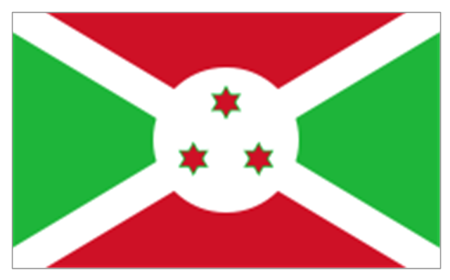
Burundi
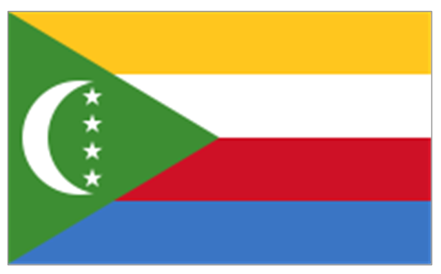
Comoros
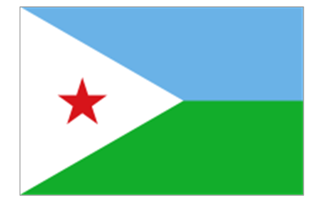
Djibouti
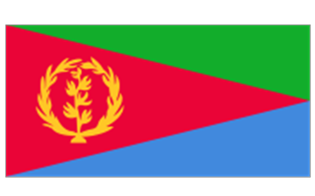
Eritrea
Ethiopia
Kenya
Madagascar
Malawi
Mauritius
Mayotte (France)
-africa-flags---stencils-library.png--diagram-flowchart-example.png)
Mozambique
Réunion (France)
-africa-flags---stencils-library.png--diagram-flowchart-example.png)
Rwanda
Seychelles
Somalia
South Sudan
Tanzania
Uganda
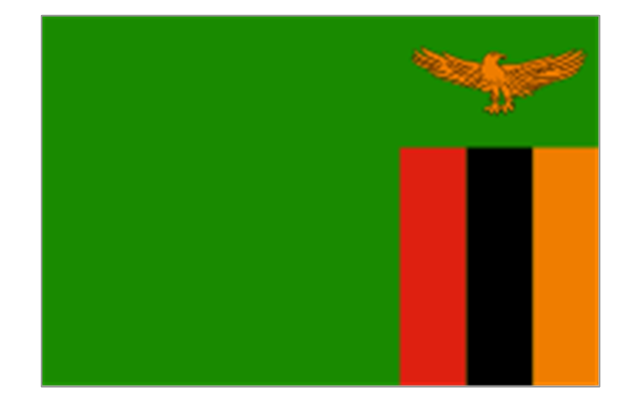
Zambia
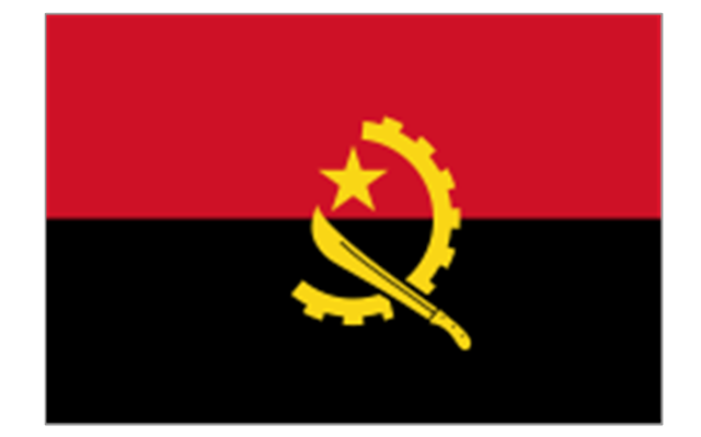
Angola
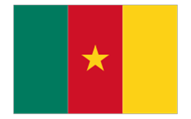
Cameroon
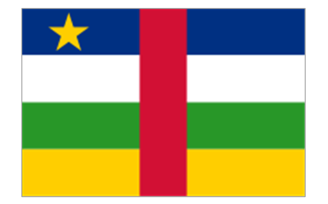
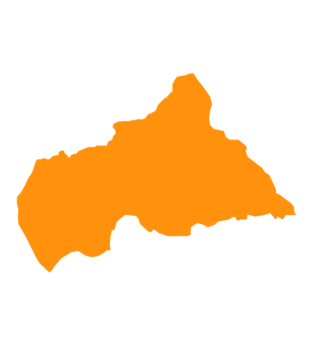
Central African Republic
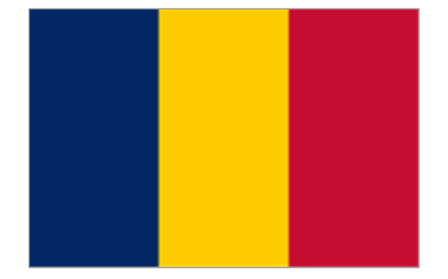
Chad
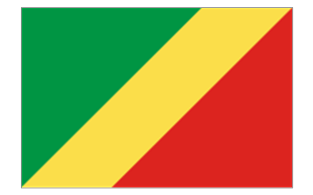
Republic of the Congo
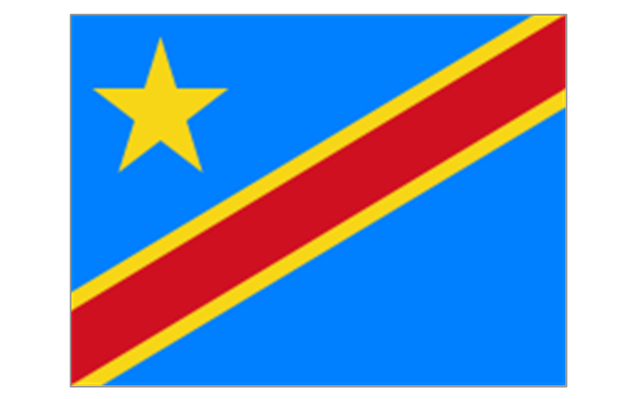
Democratic Republic of the Congo
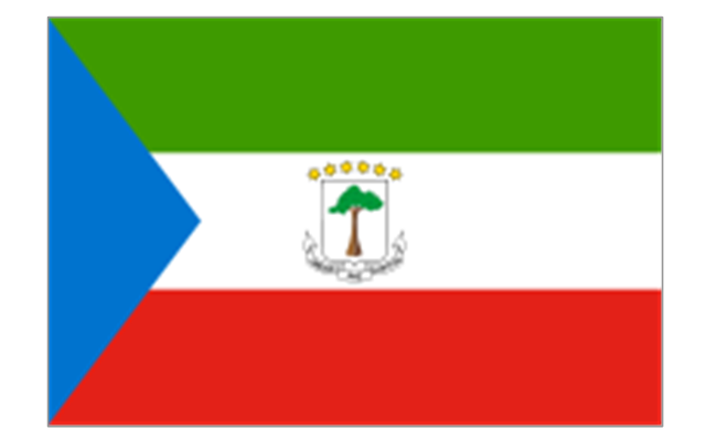
Equatorial Guinea
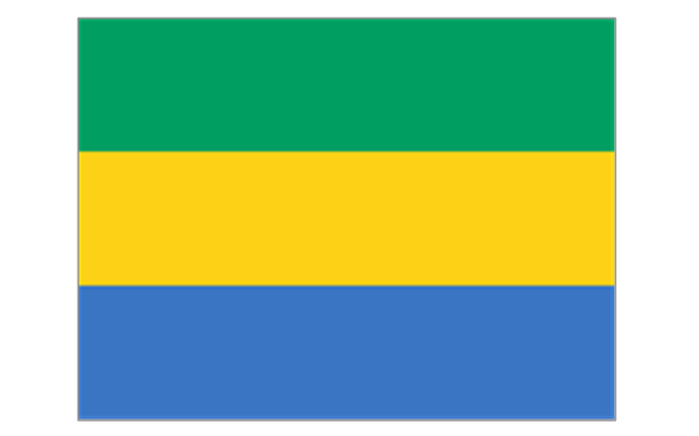
Gabon
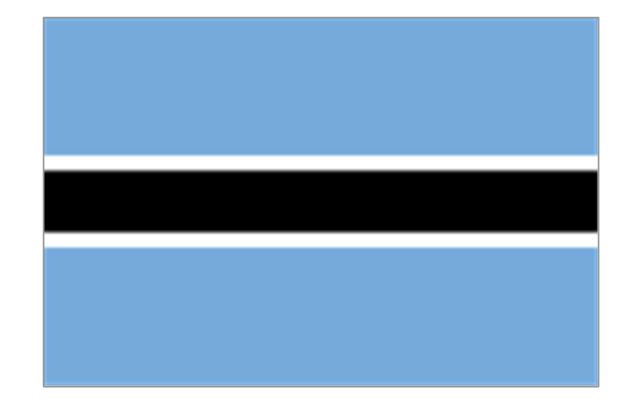
Botswana
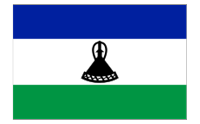
Lesotho
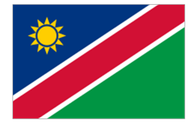
Namibia
South Africa
Benin
Burkina Faso
Cape Verde
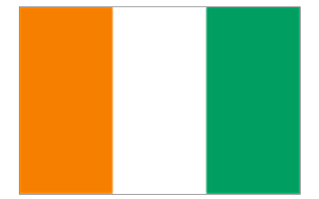
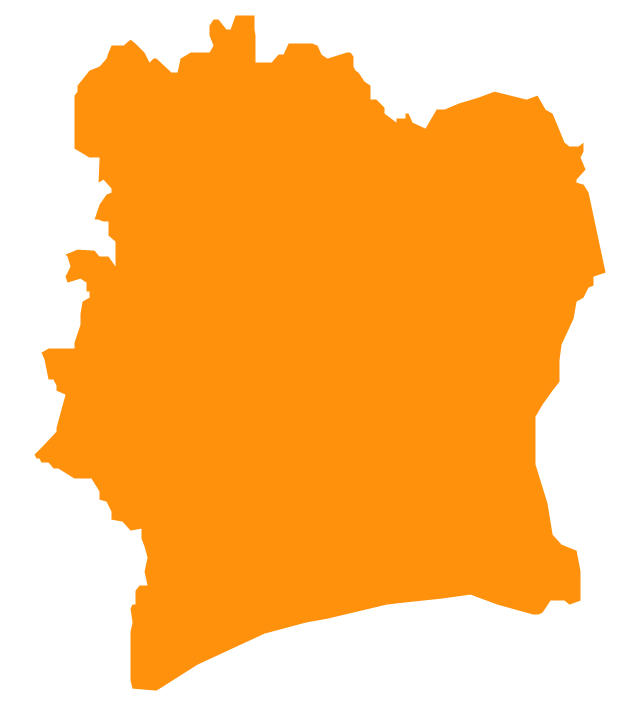
Côte d'Ivoire
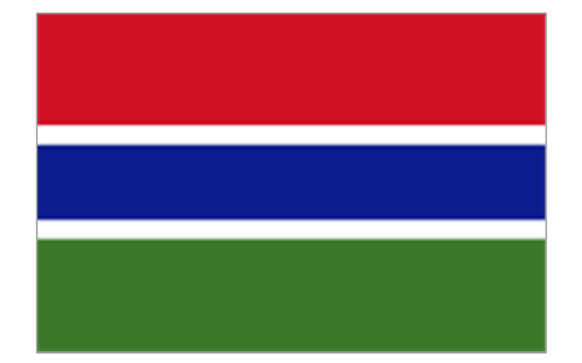
Gambia
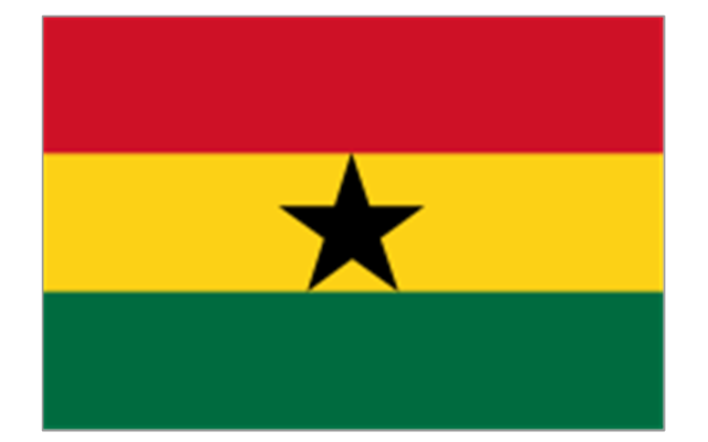
Ghana
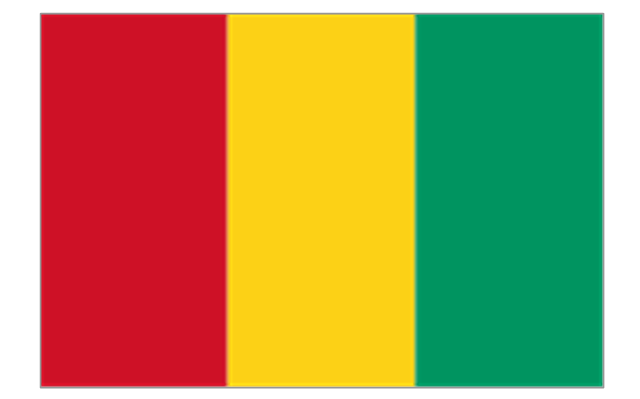
Guinea
Guinea-Bissau
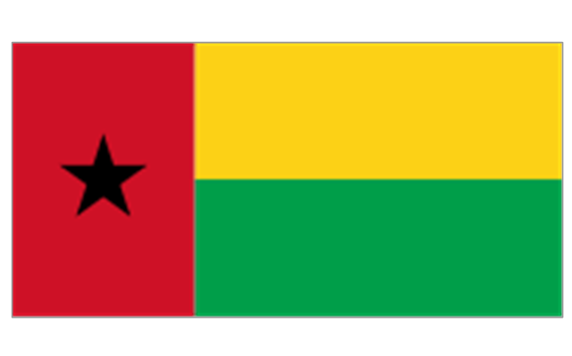
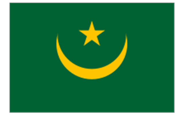
Liberia
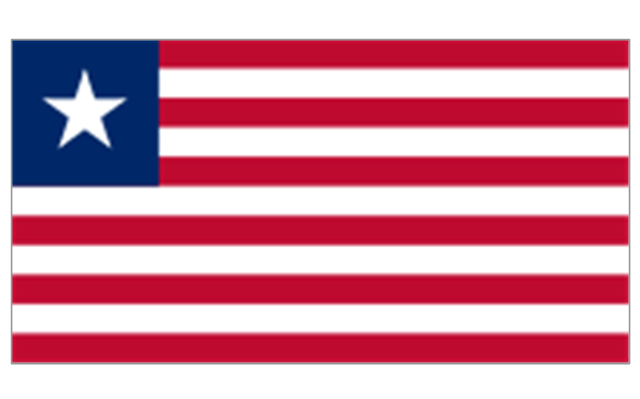
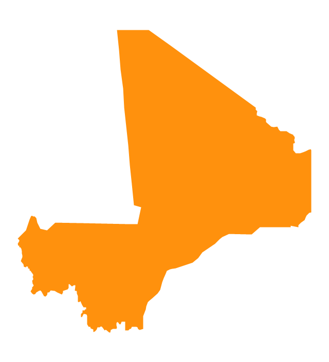
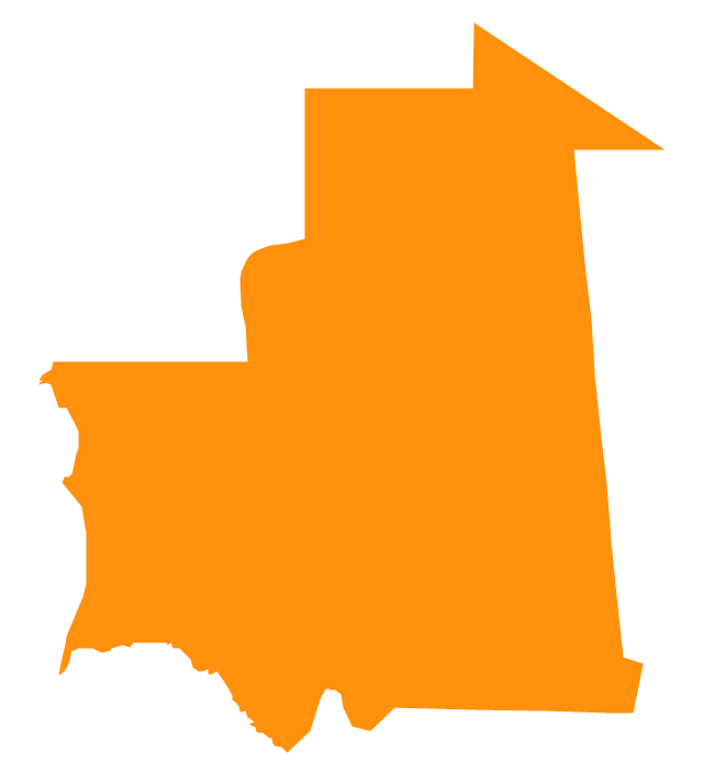
Mali
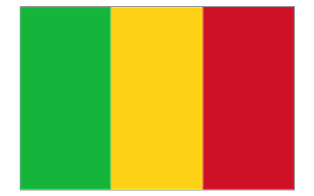
Mauritania
Niger
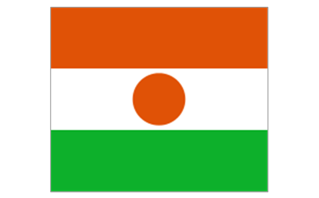
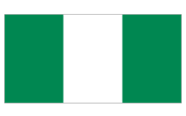
Nigeria
Saint Helena (United Kingdom)
-africa-flags---stencils-library.png--diagram-flowchart-example.png)
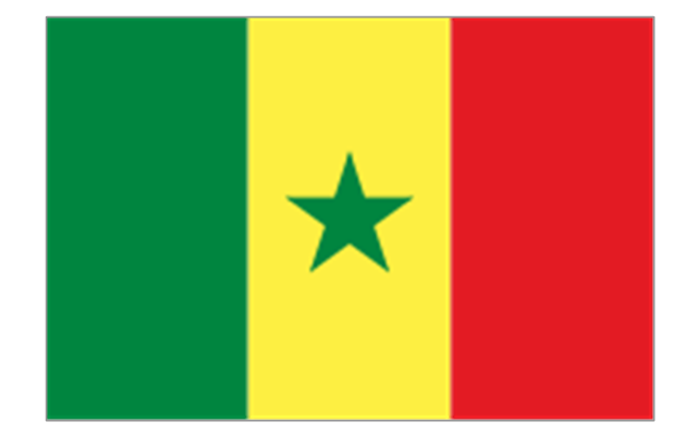
Senegal
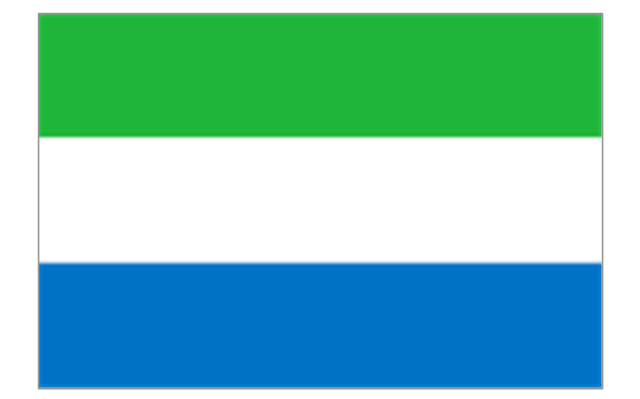
Sierra Leone
Algeria
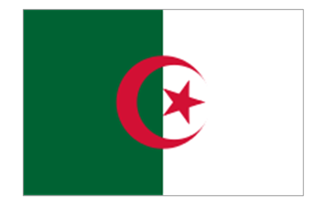
Canary Islands (Spain)
-africa-flags---stencils-library.png--diagram-flowchart-example.png)
Ceuta (Spain)
-africa-flags---stencils-library.png--diagram-flowchart-example.png)
Egypt
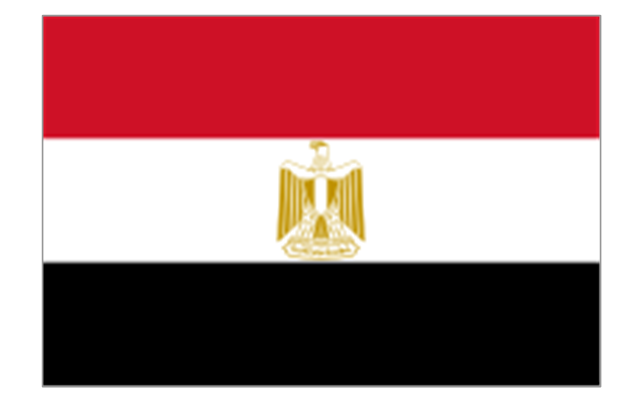
Libya
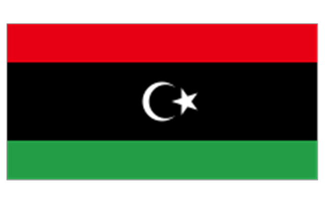
Madeira (Portugal)
-africa-flags---stencils-library.png--diagram-flowchart-example.png)
Melilla (Spain)
-africa-flags---stencils-library.png--diagram-flowchart-example.png)
Morocco
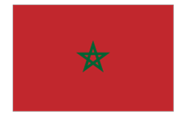
Sudan
Tunisia
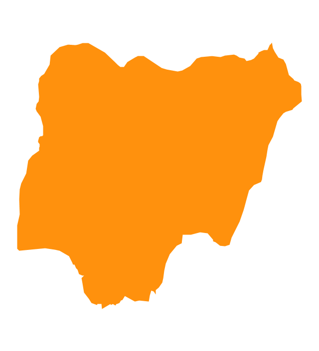
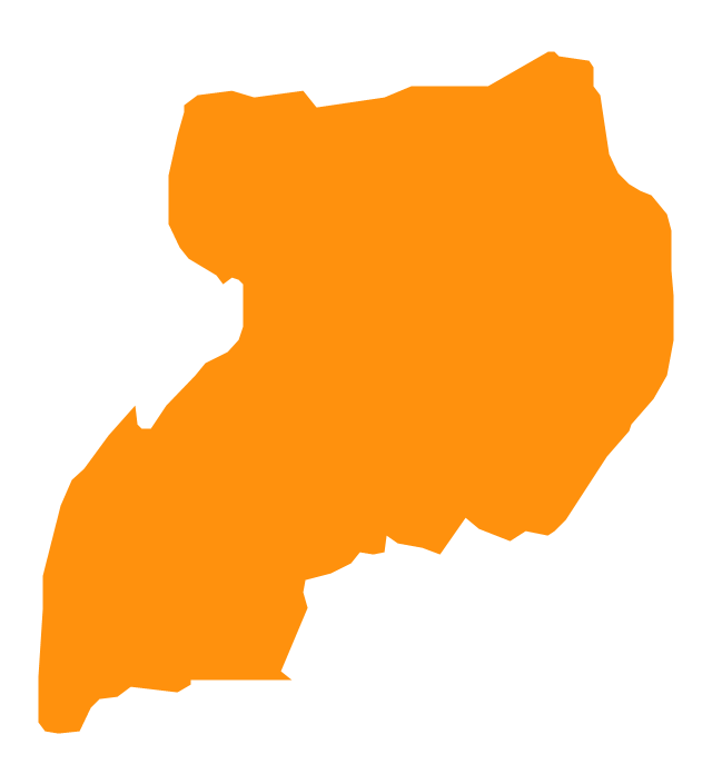
Geo Map - Africa - Nigeria

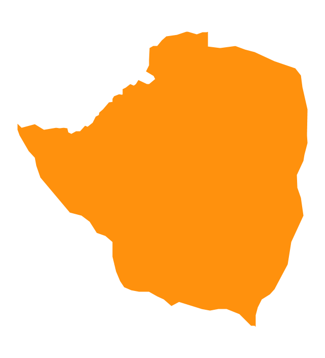
Geo Map - Africa - Zimbabwe

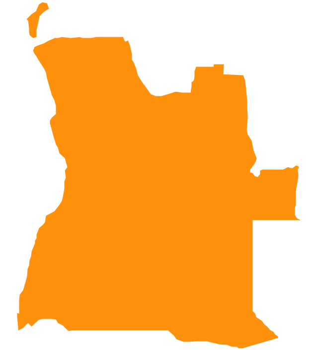
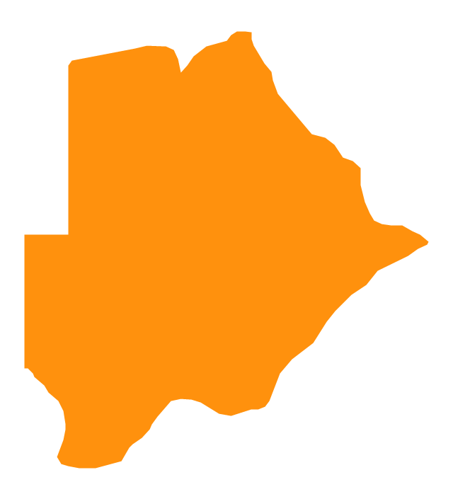
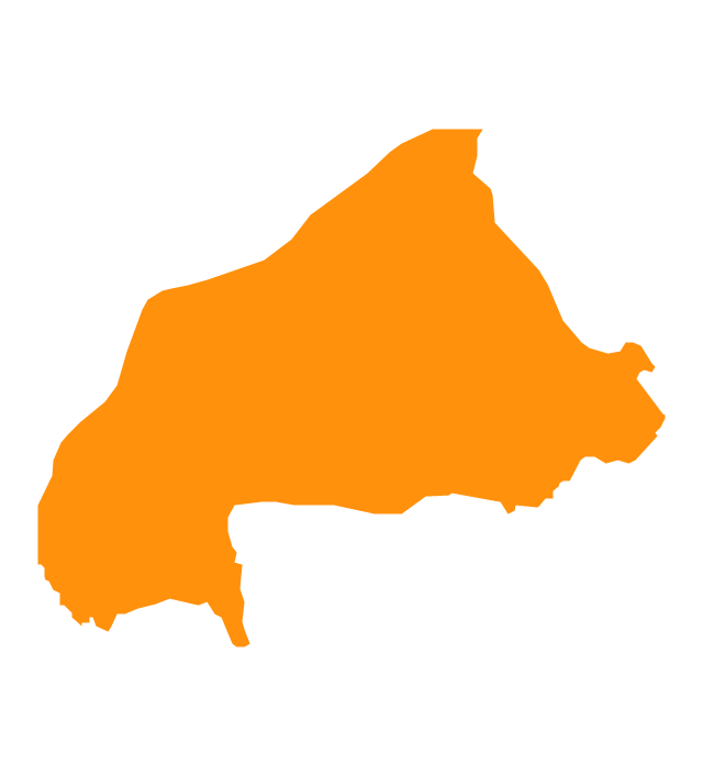
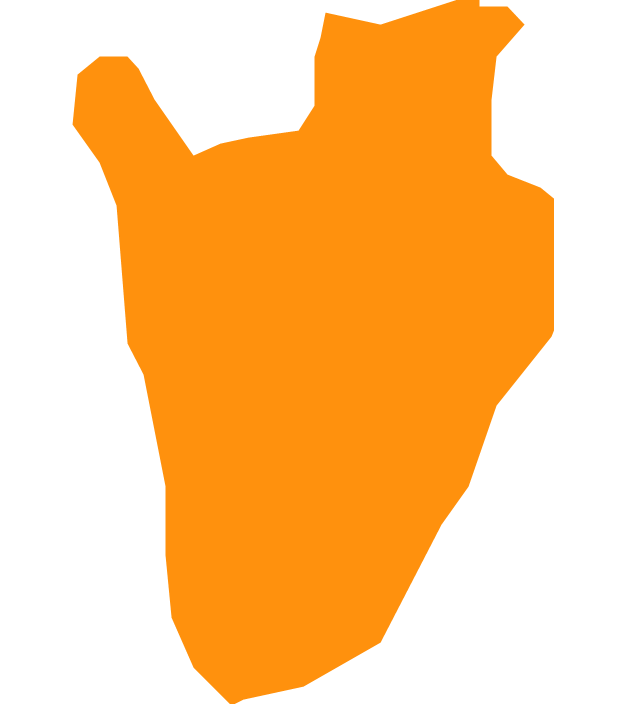
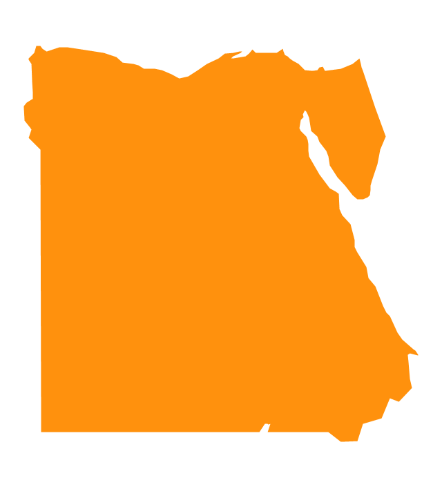
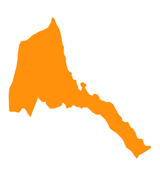
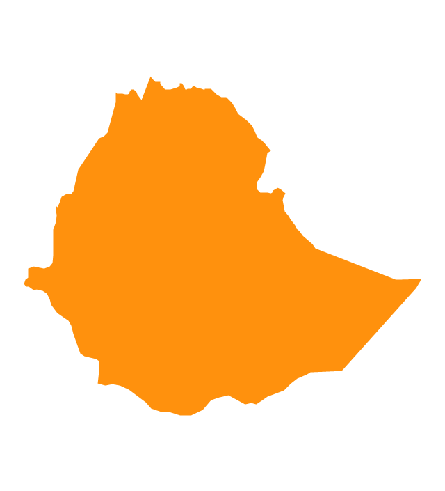
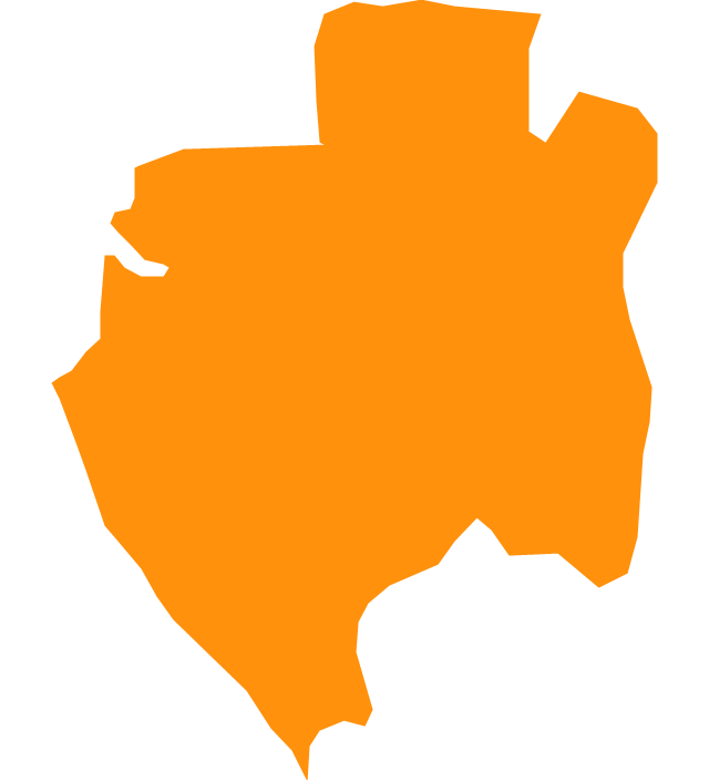
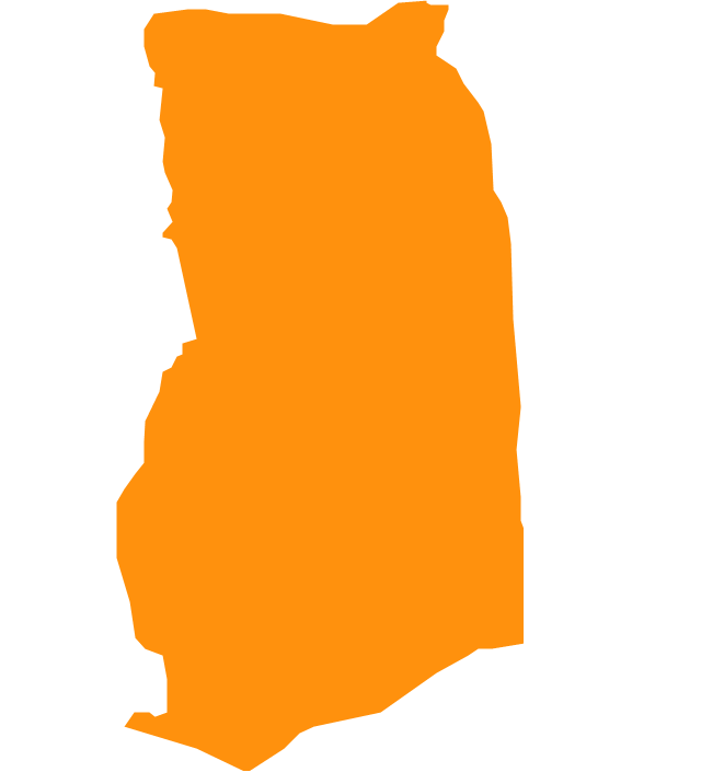
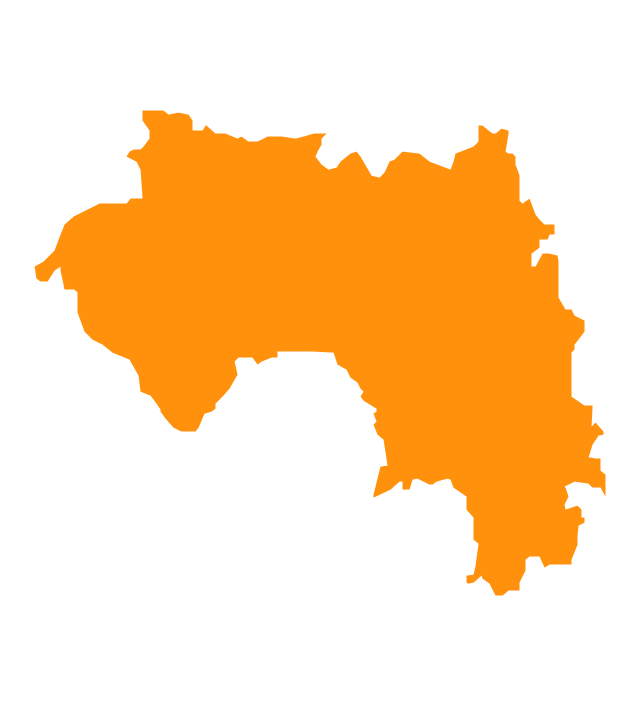
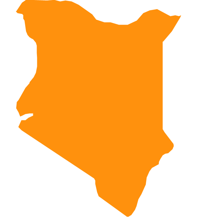
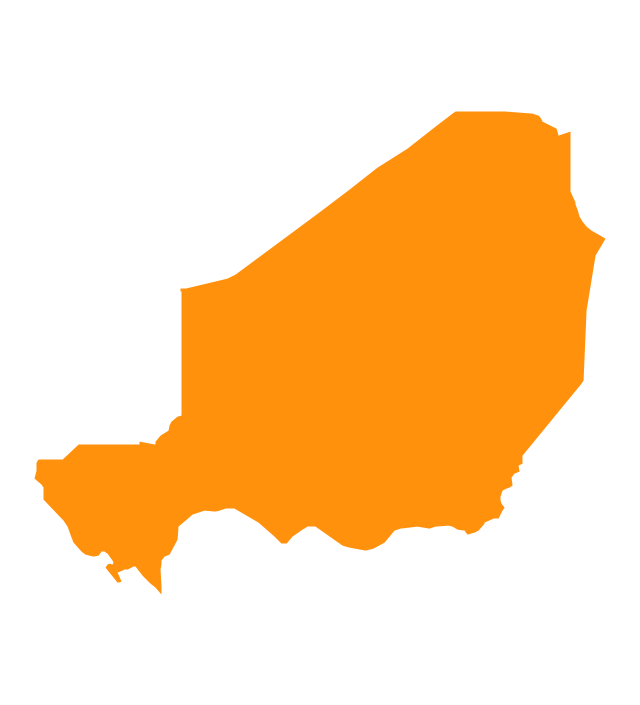
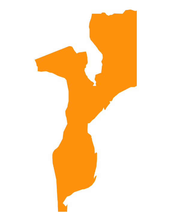
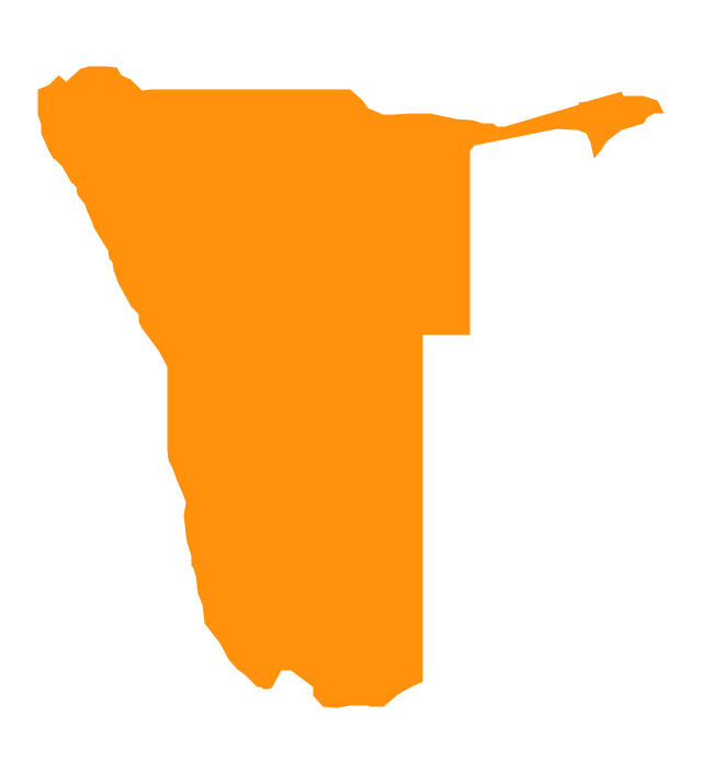
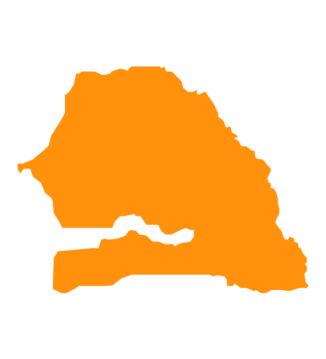
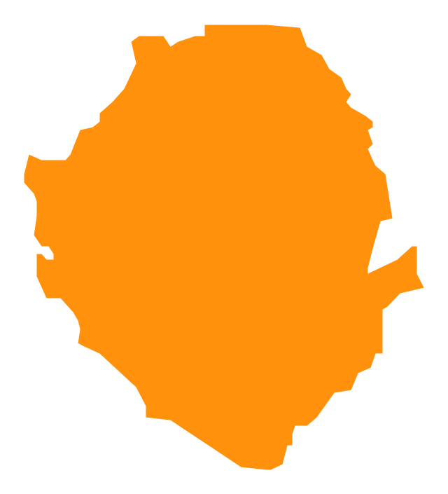
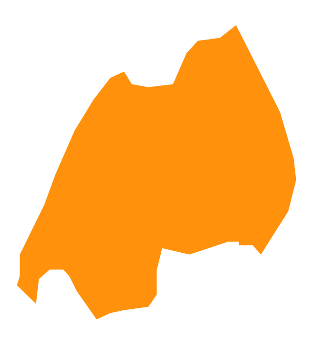
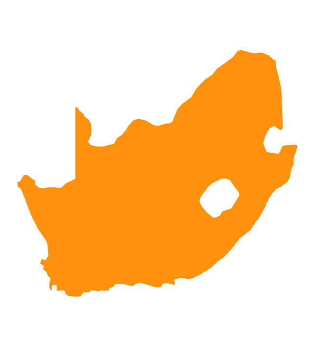
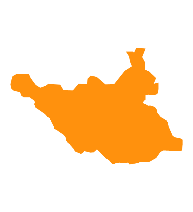
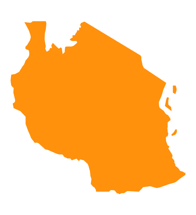
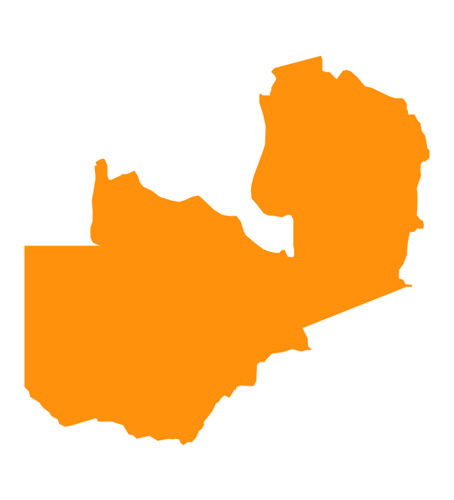
The vector stencils library "Africa" contains 51 country contours for drawing thematic maps of Africa.
Use it in your spatial infographics for visual representation of geospatial information, statistics and quantitative data in the ConceptDraw PRO diagramming and vector drawing software extended with the Spatial Infographics solution from the area "What is Infographics" of ConceptDraw Solution Park.
Use it in your spatial infographics for visual representation of geospatial information, statistics and quantitative data in the ConceptDraw PRO diagramming and vector drawing software extended with the Spatial Infographics solution from the area "What is Infographics" of ConceptDraw Solution Park.
Africa
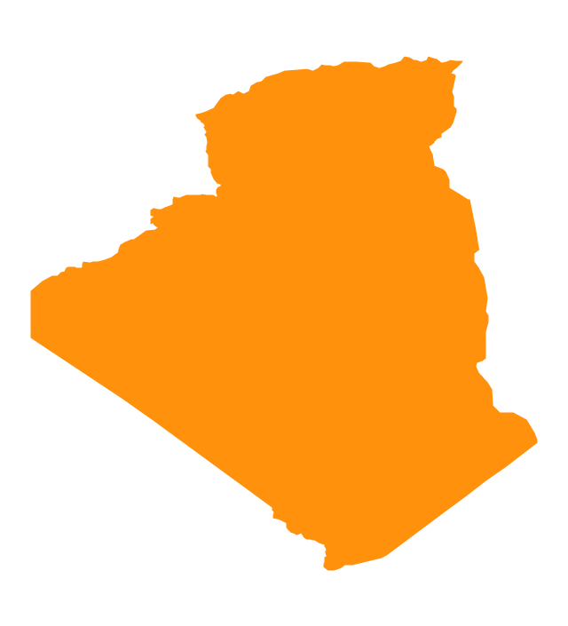
Algeria
Angola
Benin

Botswana
Burkina Faso
Burundi
Cameroon
Central African Republic
Chad

Congo

Congo (DRC)
-africa---vector-stencils-library.png--diagram-flowchart-example.png)
Cote d'Ivoire
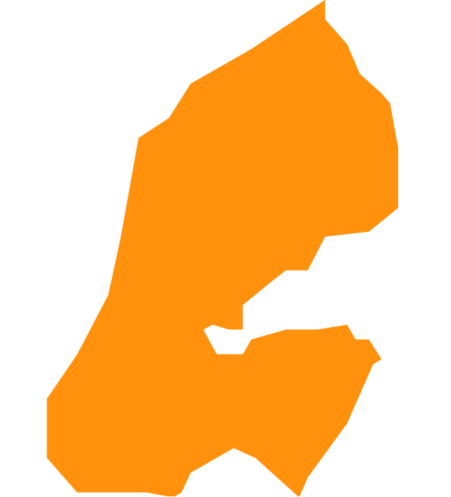
Djibouti
Egypt
Equatorial Guinea
Eritrea
Ethiopia
Gabon
Ghana
Gambia

Guinea
Guinea-Bissau

Kenya
Lesotho
Liberia
Malawi

Libya
Madagascar
Mali
Niger
Mozambique
Mauritania
Nigeria
Morocco

Namibia
Senegal
Sierra Leone
Rwanda
Somalia

South Africa
Sudan

South Sudan
Swaziland

Tanzania
Togo

Tunisia

Uganda
Western Sahara

Zimbabwe
Zambia
The vector stencils library "African country flags" contains 54 Africa state flags clipart.
Use it to illustrate your business documents, presentation slides, web pages and infographics.
The clip art example "Design elements - African country flags" was created using the ConceptDraw PRO diagramming and vector drawing software extended with the Artwork solution from the Illustration area of ConceptDraw Solution Park.
African state flags clip art

How To use House Electrical Plan Software


Basic Flowchart Symbols and Meaning


Geo Map — USA — Michigan

Geo Map — South America Continent

Map of Continents

Process Flowchart


Geo Map - USA - California

- Ethiopia Flag In Africa Icon
- Geo Map - Africa | Geo Map - USA - Iowa | Geo Map - South America ...
- Design elements - Android system icons (maps) | Geo Map - Europe ...
- Recognition Icon
- Internet Connectivity. Computer and Network Examples | Basic ...
- Military Ship Icon Png
- MENA's (Middle East and North Africa's ) real GDP growth - Scatter ...
- Geography Vector Icon
- SDL Flowchart Symbols | Geo Map - Africa | Multi Layer Venn ...
- Icon Helicopter
- Africa flags - Stencils library | Vertical Cross Functional Flowchart ...
- India Map Icon
- Free Vector North Icon
- Africa - Vector stencils library | Geography - Vector stencils library ...
- Microsoft Surface Icon
- Geo Map - Africa | Ecology pictograms - Vector stencils library ...
- Extreme Router Visio Icon
- South East Asia Map Icon Vector
- Drawing Of A Map Of East Africa
- Flowchart design. Flowchart symbols, shapes, stencils and icons ...