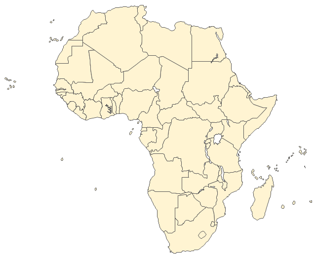
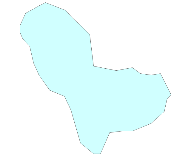
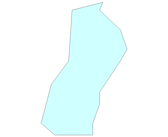
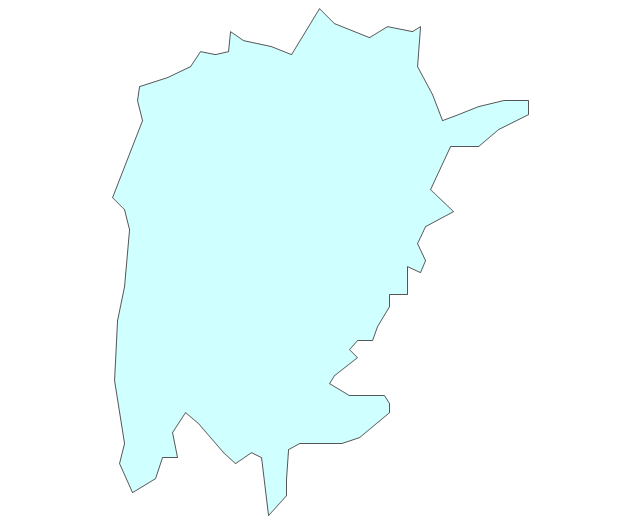
The vector stencils library "Africa" contains 62 country map contours for drawing thematic maps of Africa. Use it for visual representation of geospatial information, statistics and quantitative data.
"Africa is the world's second-largest and second-most-populous continent. ...
The continent includes Madagascar and various archipelagoes. It has 54 fully recognized sovereign states ("countries"), nine territories and two de facto independent states with limited or no recognition." [Africa. Wikipedia]
The map contours example "Africa - Vector stencils library" was created using the ConceptDraw PRO diagramming and vector drawing software extended with the Continent Maps solution from the Maps area of ConceptDraw Solution Park.
Africa
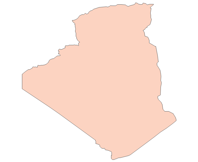
Algeria
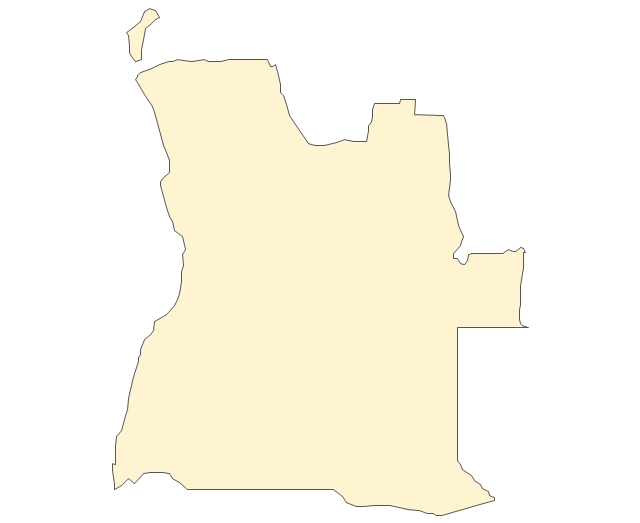
Angola
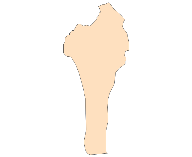
Benin
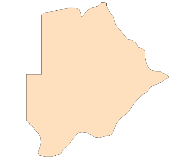
Botswana
Burkina Faso
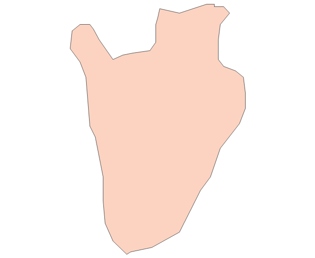
Burundi
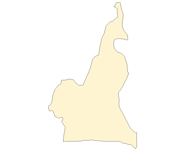
Cameroon
Central African Republic
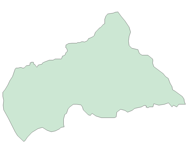
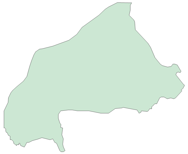
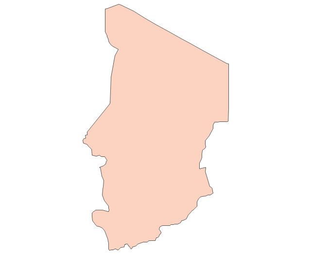
Chad
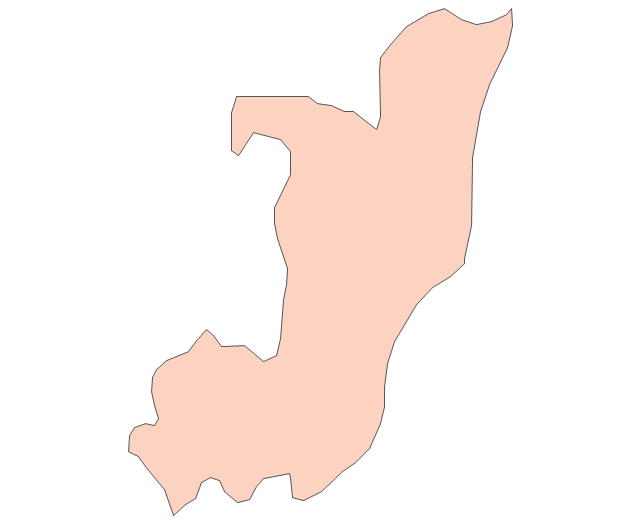
Republic of the Congo
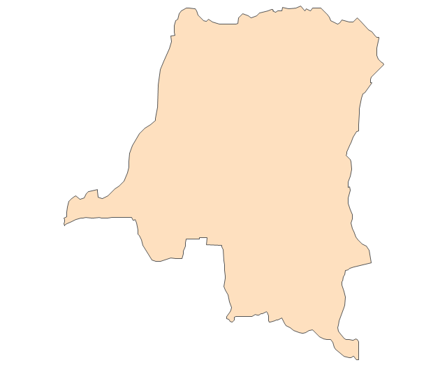
Democratic Republic of the Congo
Ivory Coast (Cote d'Ivoire)
-africa---vector-stencils-library.png--diagram-flowchart-example.png)
Djibouti
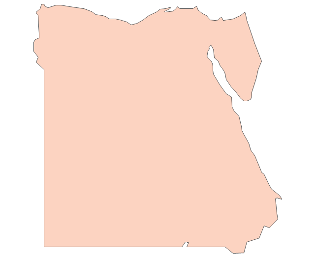
Egypt
Equatorial Guinea
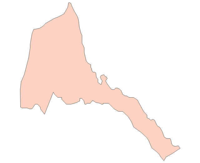
Eritrea
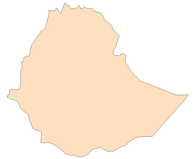
Ethiopia
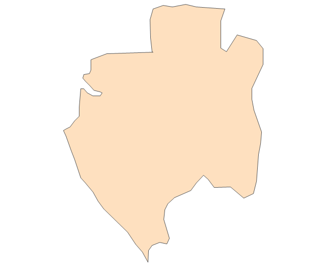
Gabon
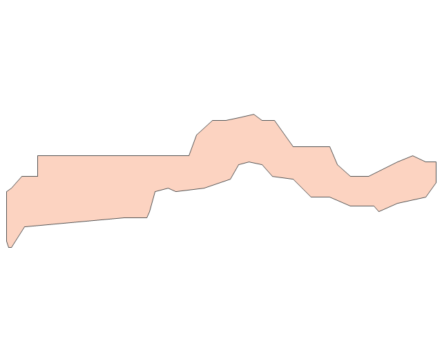
Gambia
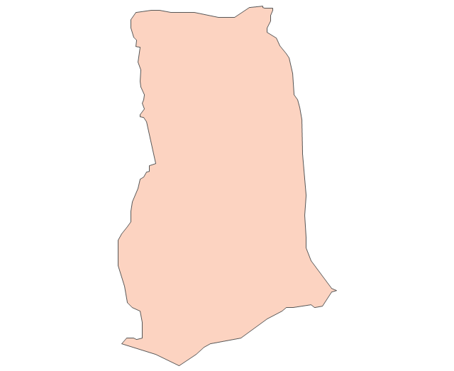
Ghana
Guinea
Guinea-Bissau
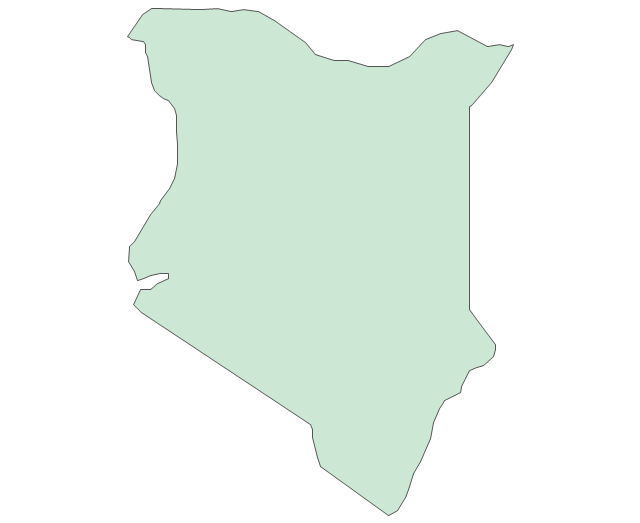
Kenya
Lesotho
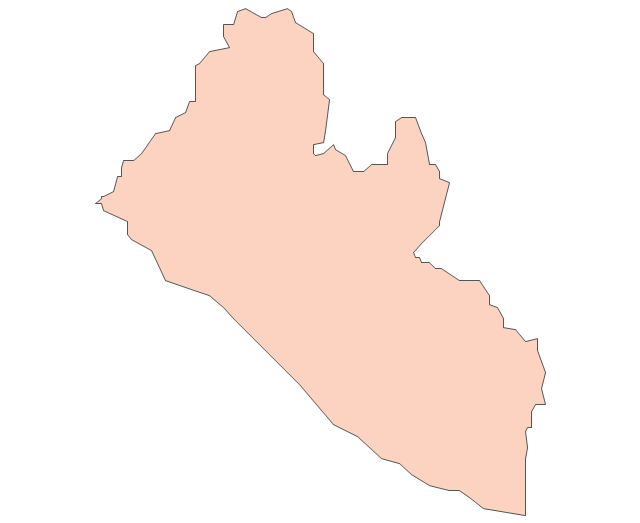
Liberia
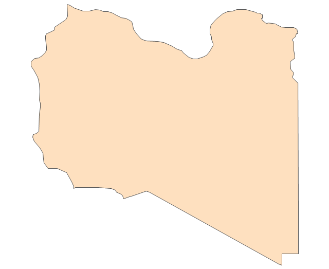
Libya
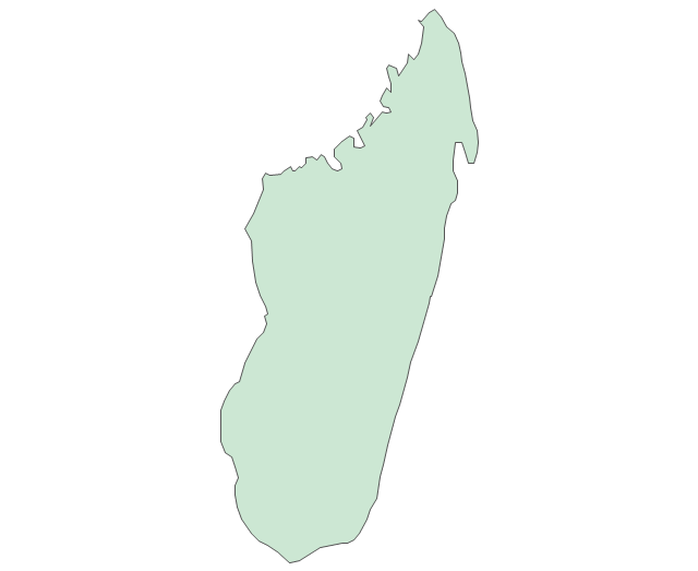
Madagascar
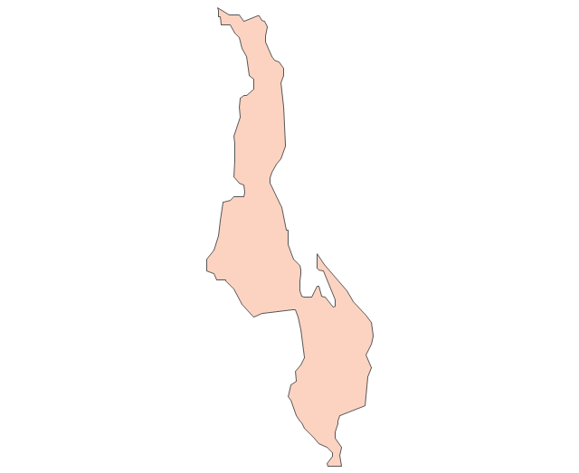
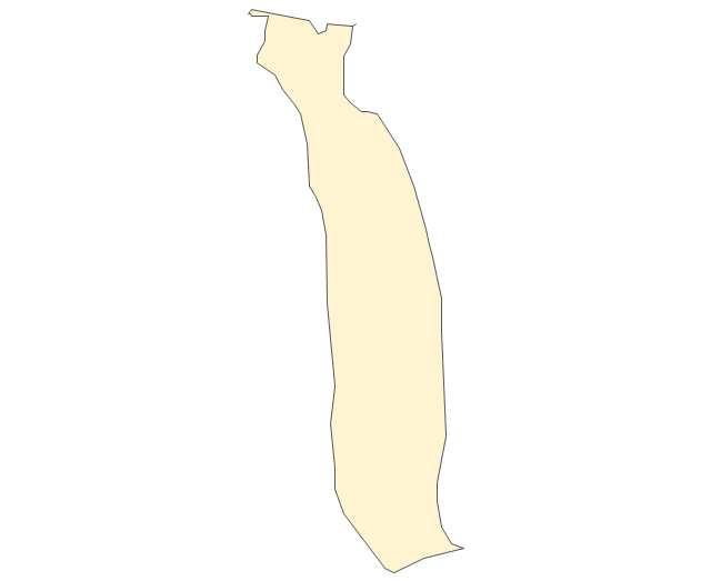
Malawi
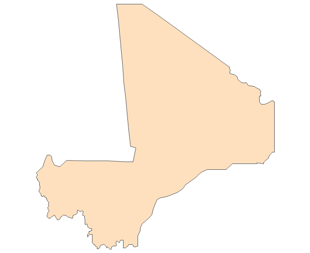
Mali
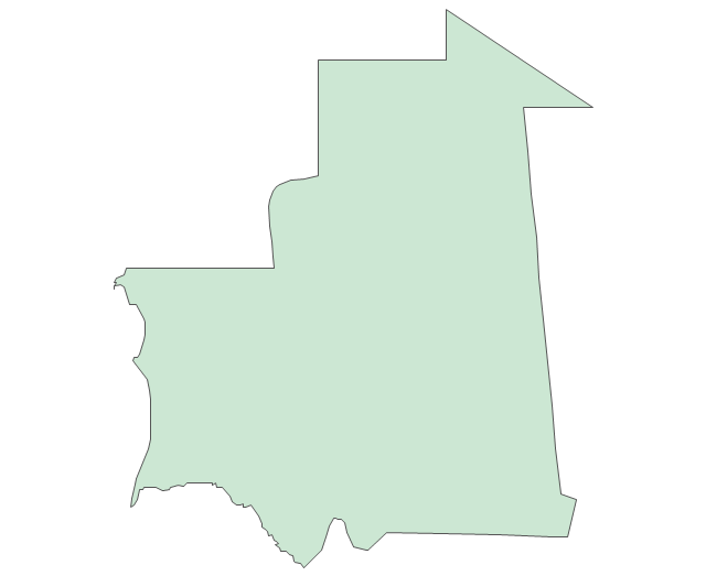
Mauritania
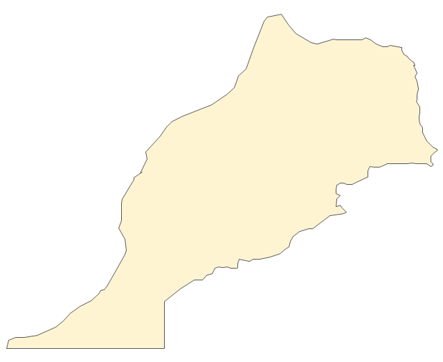
Morocco
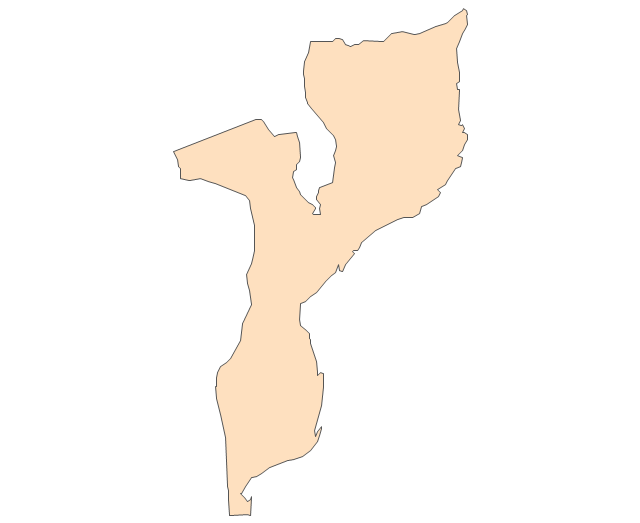
Mozambique
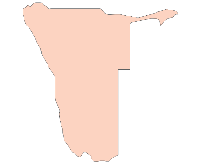
Namibia
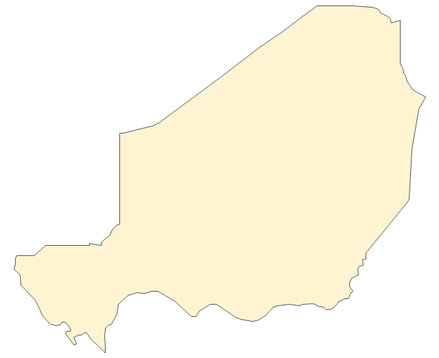
Niger
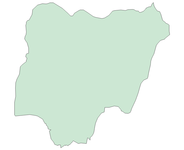
Nigeria
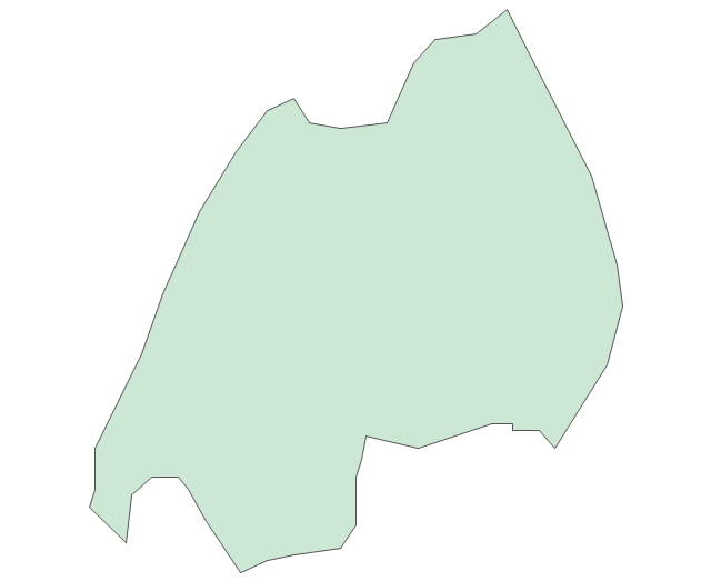
Rwanda
Senegal

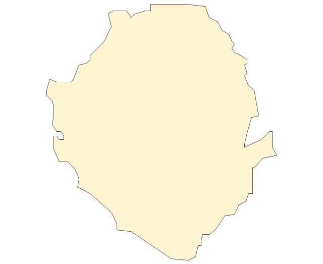
Sierra Leone
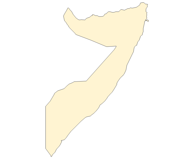
Somalia
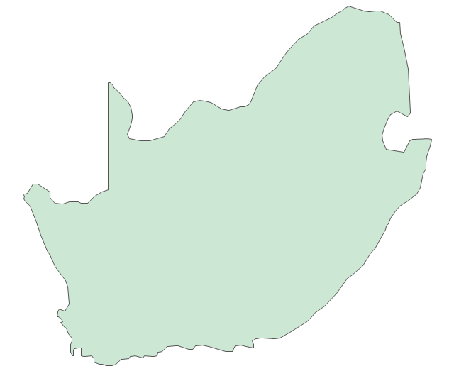
South Africa
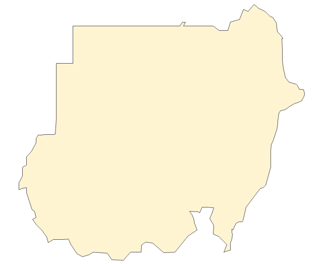
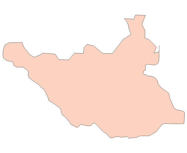
Sudan
South Sudan
Swaziland
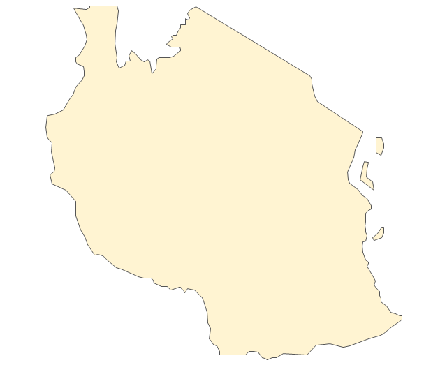
Tanzania
Togo
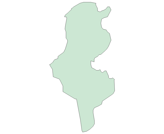
Tunisia
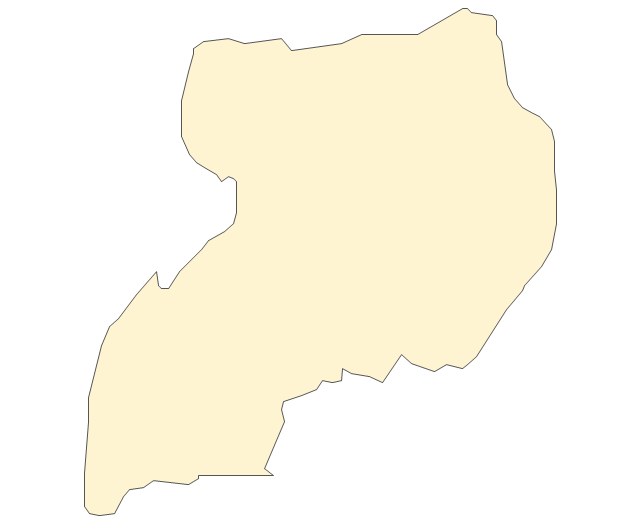
Uganda
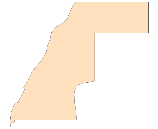
Western Sahara
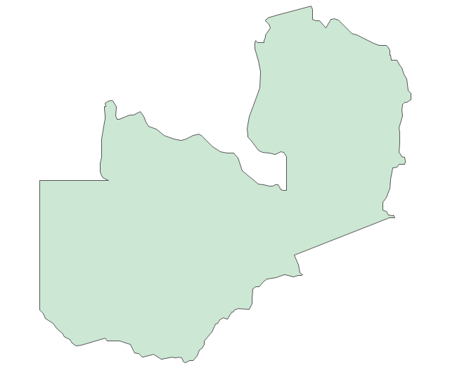
Zambia
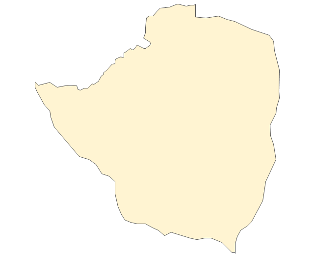
Zimbabwe
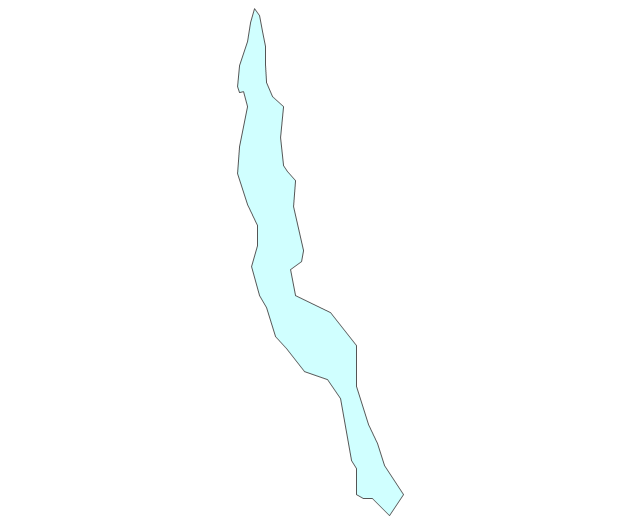
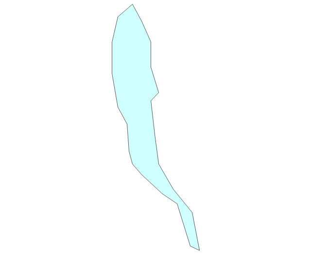
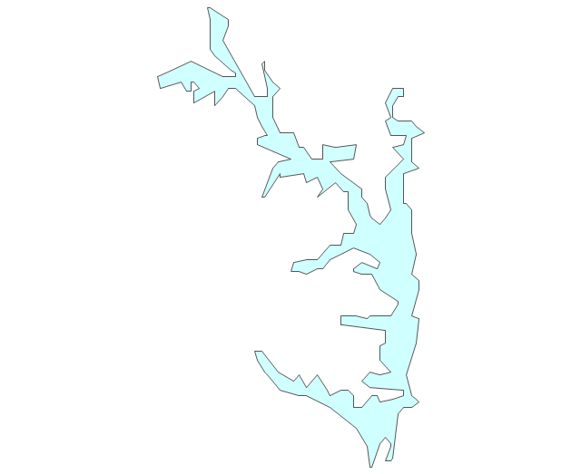
Lake Albert
Lake Chad
Lake Kariba
Lake Kivu
Lake Malawi
Lake Mweru
Lake Nasser
Lake Tanganyika
Lake Turkana
Lake Victoria
Lake Volta
The vector stencils library "Africa" contains 62 country map contours for drawing thematic maps of Africa. Use it for visual representation of geospatial information, statistics and quantitative data.
"Africa is the world's second-largest and second-most-populous continent. ...
The continent includes Madagascar and various archipelagoes. It has 54 fully recognized sovereign states ("countries"), nine territories and two de facto independent states with limited or no recognition." [Africa. Wikipedia]
The map contours example "Africa - Vector stencils library" was created using the ConceptDraw PRO diagramming and vector drawing software extended with the Continent Maps solution from the Maps area of ConceptDraw Solution Park.
"Africa is the world's second-largest and second-most-populous continent. ...
The continent includes Madagascar and various archipelagoes. It has 54 fully recognized sovereign states ("countries"), nine territories and two de facto independent states with limited or no recognition." [Africa. Wikipedia]
The map contours example "Africa - Vector stencils library" was created using the ConceptDraw PRO diagramming and vector drawing software extended with the Continent Maps solution from the Maps area of ConceptDraw Solution Park.
Africa
Algeria
Angola
Benin
Botswana
Burkina Faso
Burundi
Cameroon
Central African Republic
Chad
Republic of the Congo
Democratic Republic of the Congo
Ivory Coast (Cote d'Ivoire)
Djibouti
Egypt
Equatorial Guinea
Eritrea
Ethiopia
Gabon
Gambia
Ghana
Guinea
Guinea-Bissau
Kenya
Lesotho
Liberia
Libya
Madagascar
Malawi
Mali
Mauritania
Morocco
Mozambique
Namibia
Niger
Nigeria
Rwanda
Senegal
Sierra Leone
Somalia
South Africa
Sudan
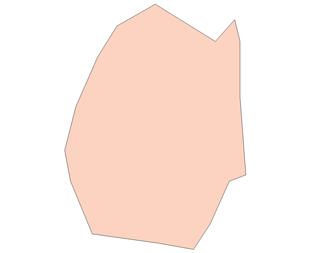
South Sudan
Swaziland
Tanzania
Togo
Tunisia
Uganda
Western Sahara
Zambia
Zimbabwe
Lake Albert
Lake Chad
Lake Kariba
Lake Kivu
Lake Malawi
Lake Mweru
Lake Nasser
Lake Tanganyika
Lake Turkana
Lake Victoria
Lake Volta
The vector stencils library "Africa" contains 62 country map contours for drawing thematic maps of Africa. Use it for visual representation of geospatial information, statistics and quantitative data.
"Africa is the world's second-largest and second-most-populous continent. ...
The continent includes Madagascar and various archipelagoes. It has 54 fully recognized sovereign states ("countries"), nine territories and two de facto independent states with limited or no recognition." [Africa. Wikipedia]
The map contours example "Africa - Vector stencils library" was created using the ConceptDraw PRO diagramming and vector drawing software extended with the Continent Maps solution from the Maps area of ConceptDraw Solution Park.
"Africa is the world's second-largest and second-most-populous continent. ...
The continent includes Madagascar and various archipelagoes. It has 54 fully recognized sovereign states ("countries"), nine territories and two de facto independent states with limited or no recognition." [Africa. Wikipedia]
The map contours example "Africa - Vector stencils library" was created using the ConceptDraw PRO diagramming and vector drawing software extended with the Continent Maps solution from the Maps area of ConceptDraw Solution Park.
Africa
Algeria
Angola
Benin
Botswana
Burkina Faso
Burundi
Cameroon
Central African Republic
Chad
Republic of the Congo
Democratic Republic of the Congo
Ivory Coast (Cote d'Ivoire)
Djibouti
Egypt
Equatorial Guinea
Eritrea
Ethiopia
Gabon
Gambia
Ghana
Guinea
Guinea-Bissau
Kenya
Lesotho
Liberia
Libya
Madagascar
Malawi
Mali
Mauritania
Morocco
Mozambique
Namibia
Niger
Nigeria
Rwanda
Senegal
Sierra Leone
Somalia
South Africa
Sudan
South Sudan
Swaziland
Tanzania
Togo
Tunisia
Uganda
Western Sahara
Zambia
Zimbabwe
Lake Albert
Lake Chad
Lake Kariba
Lake Kivu
Lake Malawi
Lake Mweru
Lake Nasser
Lake Tanganyika
Lake Turkana
Lake Victoria
Lake Volta
The vector stencils library "United States of America" contains 53 state map contours for drawing thematic maps of USA.
Use it for visual representation of geospatial information, statistics and quantitative data.
The state map contours example "United States of America - Vector stencils library" was created using the ConceptDraw PRO diagramming and vector drawing software extended with the Continent Maps solution from the Maps area of ConceptDraw Solution Park.
USA (color)
-united-states-of-america---vector-stencils-library.png--diagram-flowchart-example.png)
USA

Alabama

Alaska

Arizona

Arkansas

California

Colorado

Connecticut

Delaware

Florida

Georgia

Hawaii

Idaho

Illinois

Indiana

Iowa

Kansas

Kentucky

Louisiana

Maine

Maryland

Massachusetts

Michigan

Minnesota

Mississippi

Missouri

Montana

Nebraska

Nevada

New Hampshire

New Jersey

New York

New Mexico

North Dakota

North Carolina

Ohio

Oklahoma

Oregon

Pennsylvania

Rhode Island

South Carolina

South Dakota

Tennessee

Texas

Utah

Vermont

Virginia

Washington

West Virginia

Wisconsin

Wyoming

Great Lakes

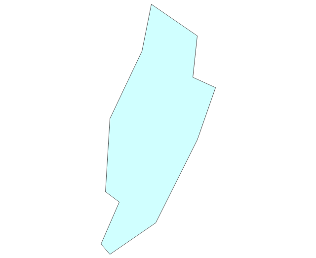
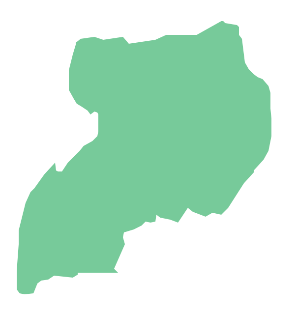
Geo Map - Africa - Uganda
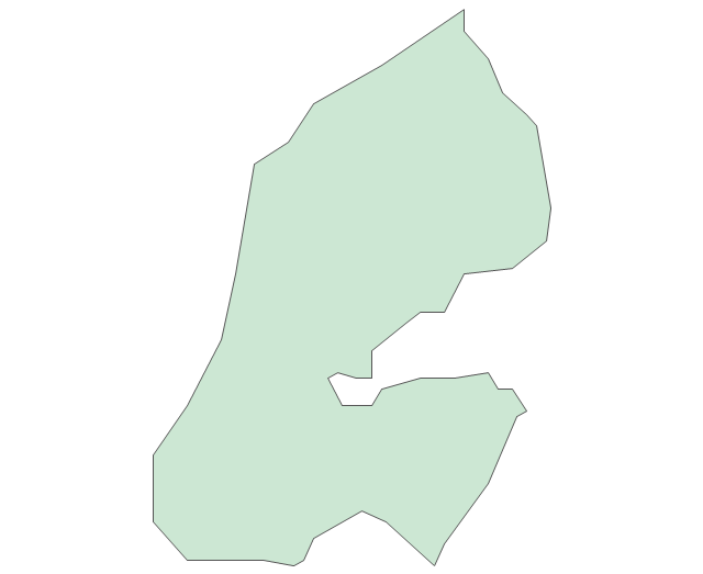
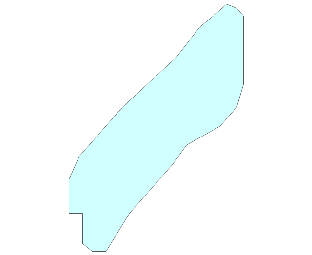
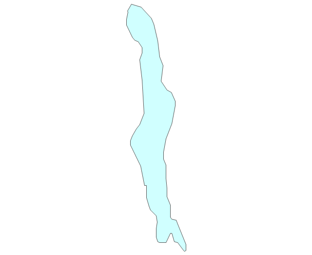
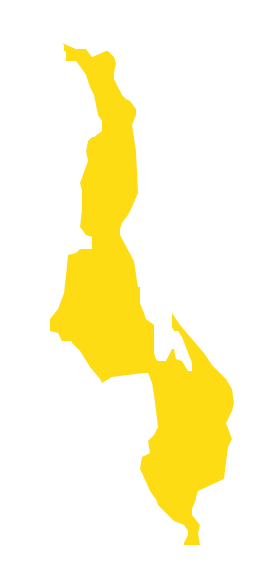
Geo Map - Africa - Malawi
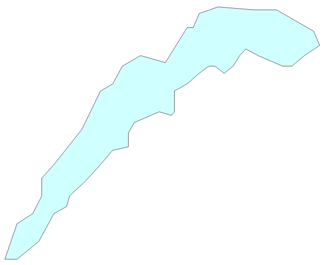
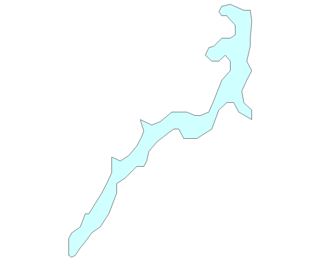
- Africa - Vector stencils library | Map Of Africa Showing Lake Chard ...
- Design elements - Location map | Artificial Lake Pictogram Sign ...
- Design Elements - Geography | Ocean Forest River Lake Waterfall
- Drawing Of River Lake And Waterfall
- Data Lake Icon
- Lake Nasser
- Lake Tanganyika
- Lake Malawi
- Lake Chad
- River Lake Sea Clipart