The vector stencils library "Road signs" contains 58 symbols of road signs for labeling the road and route maps, directional and transit maps, street and locator maps.
"Traffic signs or road signs are signs erected at the side of or above roads to give instructions or provide information to road users.
... many countries have adopted pictorial signs or otherwise simplified and standardized their signs to overcome language barriers, and enhance traffic safety. Such pictorial signs use symbols (often silhouettes) in place of words and are usually based on international protocols. Such signs were first developed in Europe, and have been adopted by most countries to varying degrees." [Traffic sign. Wikipedia]
The pictograms example "Road signs - Vector stencils library" was created using the ConceptDraw PRO diagramming and vector drawing software extended with the Directional Maps solution from the Maps area of ConceptDraw Solution Park.
www.conceptdraw.com/ solution-park/ maps-directional
Danger place

Intersection

Intersection 2

Bend

Double bend

Two-way traffic

Mobile bridge

Light signal

Pedestrian crossing

Road work

Back-up

Give way

Crossing

Stop

Roundabout

Pass this side

Direction to be followed

One-way street

Cycle track

No entry

No entry both directions

No power vehicles

No U-turns

No passing without stopping

No standing and parking

No parking

Speed limit

Height limit

Width limit

Weight limit

Priority over oncoming traffic

Streetcar or regular buses

Taxi status

Beginning that speed 30-Zone

End that speed 30-Zone

Pedestrian crossing 2

Police

Hotel

Breakdown service

Restaurant

P + R

Restroom

Fuel

Telephone

Recommended speed

Nodal point of a motorwa

Parking

Dead end

Motorway

End motorway

Populated zone

End populated zone

Parking with clock

Number sign (motorway)
-road-signs---vector-stencils-library.png--diagram-flowchart-example.png)
Exit

Direction to place

Board of announcement of exit

Number sign (federal highway)
-road-signs---vector-stencils-library.png--diagram-flowchart-example.png)
The 3D pictorial street maps are used as road maps, route maps, locator maps, transit maps, directional maps, tourist maps with points of interest (POI).
"A point of interest, or POI, is a specific point location that someone may find useful or interesting. ...
Most consumers use the term when referring to hotels, campsites, fuel stations or any other categories used in modern (automotive) navigation systems. ...
The term is widely used in cartography, especially in electronic variants including GIS, and GPS navigation software. In this context the synonym waypoint is common.
A GPS point of interest specifies, at minimum, the latitude and longitude of the POI, assuming a certain map datum. A name or description for the POI is usually included, and other information such as altitude or a telephone number may also be attached. GPS applications typically use icons to represent different categories of POI on a map graphically." [Point of interest. Wikipedia]
The example "3D pictorial street map" was created using the ConceptDraw PRO diagramming and vector drawing software extended with the Directional Maps solution from the Maps area of ConceptDraw Solution Park.
3D pictorial street map

Design Element: Computer and Network for Network Diagrams
.png)

Network Topologies

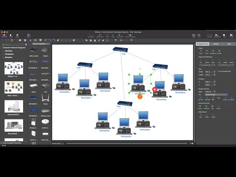
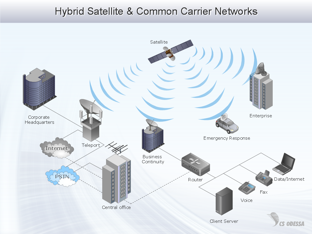
Network Diagram Software Enterprise Private Network
- Landmarks - Vector stencils library | Hotel locator map | Landmarks ...
- Telecommunication Network Diagrams | Hotel Network Topology ...
- Hotel locator map | Rolla USGS Center locator map | Design ...
- Design elements - Transmission paths | Hotel Network Topology ...
- Road signs - Vector stencils library | Software workflow diagram ...
- Global vehicular network diagram template | How to Create a ...
- Road signs - Vector stencils library | Diagram With Labeled Of Traffic ...
- 3D Directional map - Template | 3D pictorial street map | Road signs ...
- How To Draw A Road Without Traffic Signal
- Firewall between LAN and WAN | Network Security Diagrams | Hotel ...
- Traffic Signal In Road Map
- 3D pictorial street map | Design elements - 3D directional maps ...
- Types of Map - Overview | Hotel locator map | UML Diagram Types ...
- I Need The Diagram And Labeled Traffic Signs
- Drawing Of Traffic Signals
- Telecommunication Network Diagrams | Successful Strategic Plan ...
- Traffic Signal Symbol Chart
- Traffic Signal For Direction
- Road signs - Vector stencils library | Design elements - Road signs ...
- Drawing Of Traffic Signal On Road